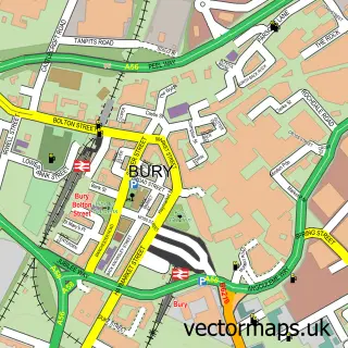
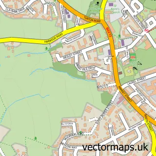
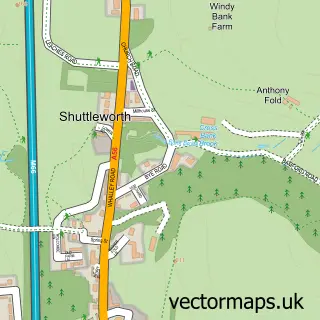
This Limefield street map is a detailed vector street map covering a 750m x 750m area. Select a larger area to create and download your own vector street map of Limefield.
The 750-metre map sample for Limefield covers 513 mapped buildings and approximately 19.8 km of road detail, of which 47 named roads are named. The immediate area includes 9 GP surgeries within 2 miles, 1 pub and 25 MOT stations within 2 miles. The wider area around Limefield features 1 food and drink venue. To create a larger or custom map of Limefield, the map builder lets you define your own coverage area and download editable SVG, PDF and PNG files.
Create a larger editable map of Limefield
Choose any area you need and generate a high-quality vector map instantly. Perfect for print, planning, design, business and personal use.

This Limefield street map in Greater Manchester is available as downloadable SVG, PDF and PNG map files, or as a printed map for planning, business, display, education, local information and design work. You can also create a larger custom map area using the map selector.
What this Limefield map sample shows
Limefield lies within Bury District (B) parish, part of Moorside ward in the Bury District (B) local authority area. The postcode geography for this area includes the BL postcode area, the BL9 postcode district and the BL9 6 postcode sector. Residents fall under the Nhs Greater Manchester Integrated Care Board for NHS services.
Local features near Limefield
Within 2 milesAmenities and services in and around Limefield.
Administrative and postcode information for Limefield
The local authority covering Limefield is Bury District (B), within the county of Greater Manchester. The settlement lies within Moorside ward and Bury District (B) civil parish. The BL9 postcode district and BL9 6 postcode sector serve the immediate area. NHS provision in the area is delivered through Manchester University Nhs Foundation Trust.
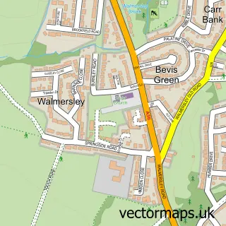
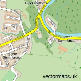
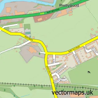
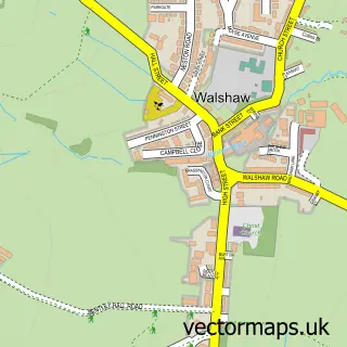
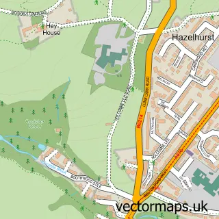
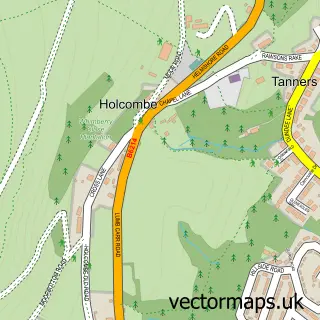
Nearby street map samples around Limefield

More street maps in Greater Manchester
750 metre map area coverage
Boundary, postcode and point of interest information for the 750m x 750m rectangle centred on this sample map.
Boundaries containing map centre
Constituency: Bury North Boro Const
District: Bury District (B)
Icb: NHS Greater Manchester ICB
Police Force: greater manchester
Postcode District: BL9
Postcode Sector: BL9 6
Ward: Moorside Ward
Nearby boundaries intersecting sample
Postcode Sector: BL9 5
Ward: North Manor Ward
Postcode coverage
POI category counts
Convenience Store: 3
Retirement Home: 3
Advertising Agency: 2
Automotive Repair: 2
Barber: 2
Fish And Chips Restaurant: 2
Professional Services: 2
Windows Installation: 2
Audiovisual Equipment Rental: 1
Bakery: 1
Sample points of interest
- Alston Press
- Outlast Creative
- Dph Plant Hire Ltd.
- Express Truck Parts
- Tuffnut Locking Wheel Nut Removal
- The Bread Basket
- McGuirk's Barber Shop
- Stanny's Barber Shop
- Liv’s Laser Lounge
- Julia's Beauty Clinic
- Equality and Diversity Uk Limited
- The Top Chop Butchers
Create a larger editable map of Limefield
This sample shows only a 750 metre area. To create a larger map of Limefield, use our map builder to choose your own coverage area, add titles and download editable SVG, PDF and PNG files.
Create a custom map of Limefield