Vector Maps logo
Home Why it works Popular maps Districts Samples Customizer Create Your Map
VectorMaps.uk
Home Popular maps Districts Samples Customizer Create Your Map Privacy Disclaimer
Home / UK Maps / Greater Manchester / Bury Map

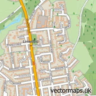
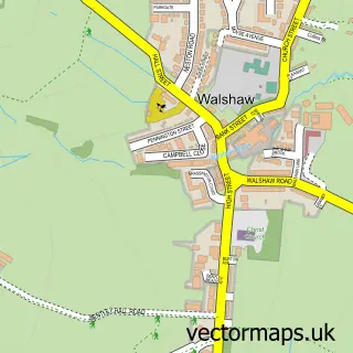
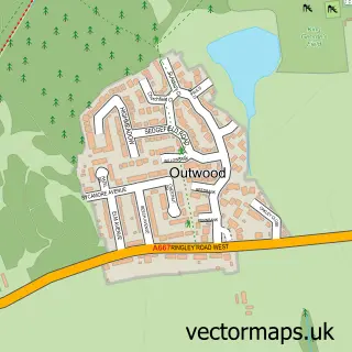
This Bury street map is a detailed vector street map covering a 750m x 750m area. Select a larger area to create and download your own vector street map of Bury.

Bury is a town in Greater Manchester, in the North West of England. Historically, the area formed part of Lancashire. The settlement falls within the Bury North parliamentary constituency. It is served by the BL9 postcode district, with BL9 6 as the local

The 750-metre map sample for Bury covers 122 mapped buildings and approximately 22.5 km of road detail, of which 61 named roads are named. The immediate area includes 3 schools, 2 railway stations, 3 GP surgeries, with 10 within 2 miles and 19 pubs among other local services. The wider area around Bury features 9 tourism points of interest, 73 food and drink venues and 3 hotels. To create a larger or custom map of Bury, the map builder lets you define your own coverage area and download editable SVG, PDF and PNG files.

122Buildings
22.45 kmRoads
61Named roads
31,459Residents within 2 miles
Create your own

Create a larger editable map of Bury

Choose any area you need and generate a high-quality vector map instantly. Perfect for print, planning, design, business and personal use.

Choose any location
Editable SVG files
Any size up to A0
PDF, PNG & more
Instant download
High quality guaranteed
Create My Custom Map
Secure, private & no credit card required
Bury Vector Street Map
750m Sample
Bury vector street map sample showing roads, buildings and local features in a 750 metre preview area
Buy Bury Map Print from £12.95 Buy Bury Digital Map from £6

This Bury street map in Greater Manchester is available as downloadable SVG, PDF and PNG map files, or as a printed map for planning, business, display, education, local information and design work. You can also create a larger custom map area using the map selector.

What this Bury map sample shows

Bury lies within Bury District (B) parish, part of Moorside ward in the Bury District (B) local authority area. The postcode geography for this area includes the BL postcode area, the BL9 postcode district and the BL9 6 postcode sector. Residents fall under the Nhs Greater Manchester Integrated Care Board for NHS services.

Local features near Bury

Within 2 miles

Amenities and services in and around Bury.

3 Schools
2 Railway stations
3 GP surgeries 10 within 2 miles
3 MOT stations 34 within 2 miles
9 Tourism & leisure
73 Food & drink
19 Pubs
3 Hotels
15 Healthcare POIs
6 Vehicle services

Counts are approximate and based on publicly available data.

Administrative and postcode information for Bury

Bury lies within Bury District (B) parish, part of Moorside ward in the Bury District (B) local authority area. The postcode geography for this area includes the BL postcode area, the BL9 postcode district and the BL9 6 postcode sector. Residents fall under the Nhs Greater Manchester Integrated Care Board for NHS services.

Parish BURY DISTRICT (B)
Ward Moorside
District / local authority Bury District (B)
County Greater Manchester
Historic county Lancashire
Postcode district BL9
Postcode sector BL9 6
Parliamentary constituency Bury North
Region North West
Country England

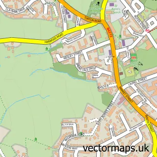
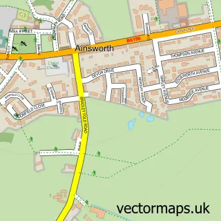
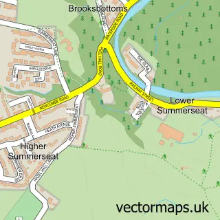
Nearby street map samples around Bury

Street map sample of Salford, Greater Manchester Salford City - Greater Manchester - 7.3 miles Street map sample of Limefield, Greater Manchester Limefield Village - Greater Manchester - 1.4 miles Street map sample of Heap Bridge, Greater Manchester Heap Bridge Village - Greater Manchester - 1.6 miles Street map sample of Hollins, Greater Manchester Hollins Village - Greater Manchester - 1.7 miles Street map sample of Walmersley, Greater Manchester Walmersley Village - Greater Manchester - 1.8 miles Street map sample of Walshaw, Greater Manchester Walshaw Village - Greater Manchester - 1.9 miles Street map sample of Tottington, Greater Manchester Tottington Village - Greater Manchester - 2.3 miles Street map sample of Ainsworth, Greater Manchester Ainsworth Village - Greater Manchester - 2.5 miles Street map sample of Summerseat, Greater Manchester Summerseat Village - Greater Manchester - 2.6 miles Street map sample of Outwood, Greater Manchester Outwood Village - Greater Manchester - 3.4 miles

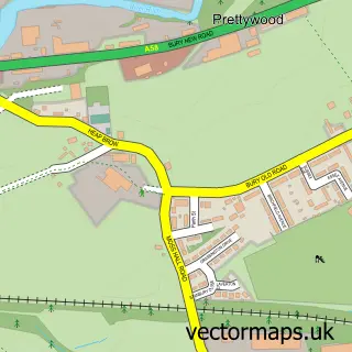
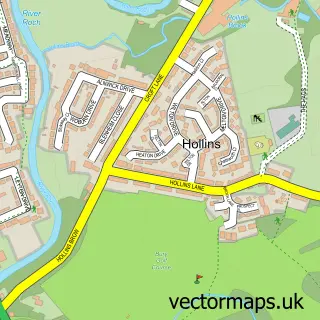
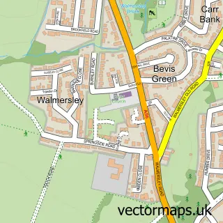
More street maps in Greater Manchester

Street map sample of Limefield, Greater Manchester Limefield Village - 1.4 miles Street map sample of Heap Bridge, Greater Manchester Heap Bridge Village - 1.6 miles Street map sample of Hollins, Greater Manchester Hollins Village - 1.7 miles Street map sample of Walmersley, Greater Manchester Walmersley Village - 1.8 miles Street map sample of Walshaw, Greater Manchester Walshaw Village - 1.9 miles

750 metre map area coverage

Boundary, postcode and point of interest information for the 750m x 750m rectangle centred on this sample map.

Boundaries containing map centre

Constituency: Bury North Boro Const

District: Bury District (B)

Icb: NHS Greater Manchester ICB

Police Force: greater manchester

Postcode District: BL9

Postcode Sector: BL9 0

Ward: Bury East Ward

Nearby boundaries intersecting sample

Ward: Moorside Ward, Redvales Ward

Postcode coverage

BL9 BL9 0

POI category counts

Clothing Store: 21

Professional Services: 20

Restaurant: 20

Jewelry Store: 19

Pub: 19

Bar: 18

Cafe: 17

Coffee Shop: 17

Furniture Store: 15

Real Estate Agent: 15

Sample points of interest

  • DTE Business Advisers Accountant
  • Jackson Lee Accountants Accountant
  • Merchant Mcdonald & Co Accountant
  • Metcalfes Accountant
  • Northwood Accountancy Ltd Accountant
  • Payroll Solutions Ltd Accountant
  • Stephen Harris & Co. Accountant
  • Bury Trampoline Club Active Life
  • Tai Chi Academy Manchester Active Life
  • Bury Modern Acupuncture Acupuncture
  • Bury Adult Education Centre Adult Entertainment
  • G2F Media Advertising Agency

Create a larger editable map of Bury

This sample shows only a 750 metre area. To create a larger map of Bury, use our map builder to choose your own coverage area, add titles and download editable SVG, PDF and PNG files.

Create a custom map of Bury

Phone 01751 473136 | Copyright Vectormaps.uk 2026

Samples Customizer Privacy Disclaimer
Bury Vector Street Map
Bury enlarged street map sample showing a 750 metre preview area