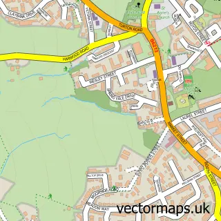
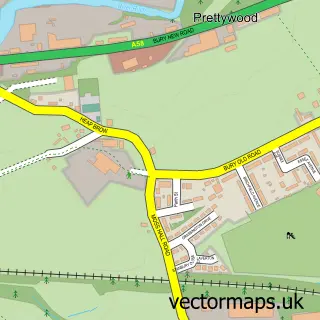
This Walmersley street map is a detailed vector street map covering a 750m x 750m area. Select a larger area to create and download your own vector street map of Walmersley.
The 750-metre map sample for Walmersley covers 383 mapped buildings and approximately 14.6 km of road detail, of which 31 named roads are named. The immediate area includes 1 school, 9 GP surgeries within 2 miles and 25 MOT stations within 2 miles. The wider area around Walmersley features 1 tourism point of interest and 1 food and drink venue. To create a larger or custom map of Walmersley, the map builder lets you define your own coverage area and download editable SVG, PDF and PNG files.
Create a larger editable map of Walmersley
Choose any area you need and generate a high-quality vector map instantly. Perfect for print, planning, design, business and personal use.

This Walmersley street map in Greater Manchester is available as downloadable SVG, PDF and PNG map files, or as a printed map for planning, business, display, education, local information and design work. You can also create a larger custom map area using the map selector.
What this Walmersley map sample shows
Walmersley lies within Bury District (B) parish, part of North Manor ward in the Bury District (B) local authority area. The postcode geography for this area includes the BL postcode area, the BL9 postcode district and the BL9 6 postcode sector. Residents fall under the Nhs Greater Manchester Integrated Care Board for NHS services.
Local features near Walmersley
Within 2 milesAmenities and services in and around Walmersley.
Administrative and postcode information for Walmersley
Walmersley lies within Bury District (B) parish, part of North Manor ward in the Bury District (B) local authority area. The postcode geography for this area includes the BL postcode area, the BL9 postcode district and the BL9 6 postcode sector. Residents fall under the Nhs Greater Manchester Integrated Care Board for NHS services.
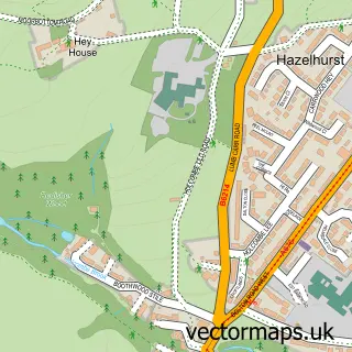
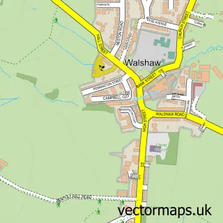
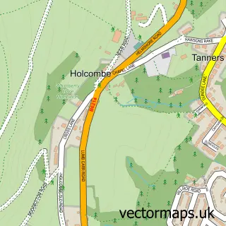
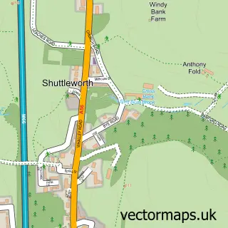
Nearby street map samples around Walmersley

More street maps in Greater Manchester
750 metre map area coverage
Boundary, postcode and point of interest information for the 750m x 750m rectangle centred on this sample map.
Boundaries containing map centre
Constituency: Bury North Boro Const
District: Bury District (B)
Icb: NHS Greater Manchester ICB
Police Force: greater manchester
Postcode District: BL9
Postcode Sector: BL9 5
Ward: North Manor Ward
Nearby boundaries intersecting sample
Postcode Sector: BL9 6
Ward: Moorside Ward
Postcode coverage
POI category counts
Church Cathedral: 2
Elementary School: 2
Shipping Center: 2
Accountant: 1
Atms: 1
Barber: 1
Bookstore: 1
Car Dealer: 1
Carpet Store: 1
Currency Exchange: 1
Sample points of interest
- The Accountants
- ATM (Post Office)
- The Blackwood Barber Co. Bury
- Diane Schofield
- Think car solution
- W W Flooring
- Christ Church
- Christ Church Walmersley
- Post Office Travel Money
- Brookhaven School
- Springside Primary School
- Springside Social
Create a larger editable map of Walmersley
This sample shows only a 750 metre area. To create a larger map of Walmersley, use our map builder to choose your own coverage area, add titles and download editable SVG, PDF and PNG files.
Create a custom map of Walmersley