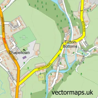
This Dunscar street map is a detailed vector street map covering a 750m x 750m area. Select a larger area to create and download your own vector street map of Dunscar.
The 750-metre map sample for Dunscar covers 280 mapped buildings and approximately 11.6 km of road detail, of which 20 named roads are named. The immediate area includes 6 GP surgeries within 2 miles and 5 MOT stations within 2 miles. The wider area around Dunscar features 1 food and drink venue and 1 hotel. To create a larger or custom map of Dunscar, the map builder lets you define your own coverage area and download editable SVG, PDF and PNG files.
Create a larger editable map of Dunscar
Choose any area you need and generate a high-quality vector map instantly. Perfect for print, planning, design, business and personal use.

This Dunscar street map in Greater Manchester is available as downloadable SVG, PDF and PNG map files, or as a printed map for planning, business, display, education, local information and design work. You can also create a larger custom map area using the map selector.
What this Dunscar map sample shows
Dunscar lies within Bolton District (B) parish, part of Bromley Cross ward in the Bolton District (B) local authority area. The postcode geography for this area includes the BL postcode area, the BL7 postcode district and the BL7 9 postcode sector. Residents fall under the Nhs Greater Manchester Integrated Care Board for NHS services.
Local features near Dunscar
Within 2 milesAmenities and services in and around Dunscar.
Administrative and postcode information for Dunscar
Dunscar lies within Bolton District (B) parish, part of Bromley Cross ward in the Bolton District (B) local authority area. The postcode geography for this area includes the BL postcode area, the BL7 postcode district and the BL7 9 postcode sector. Residents fall under the Nhs Greater Manchester Integrated Care Board for NHS services.
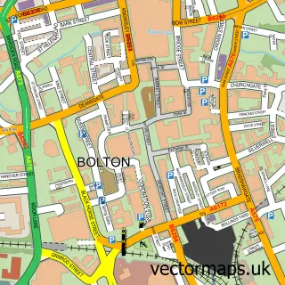
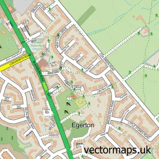
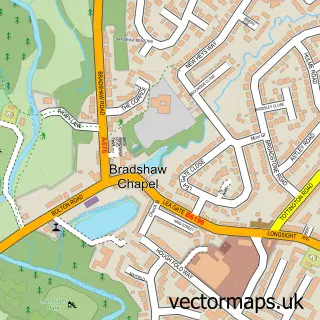
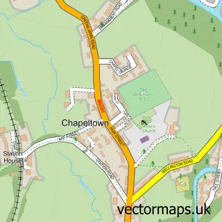
Nearby street map samples around Dunscar


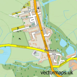
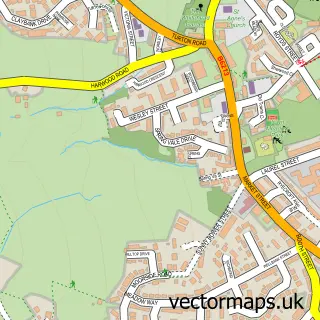
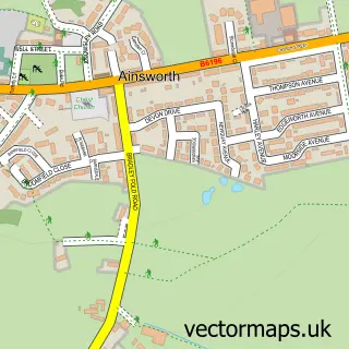
More street maps in Greater Manchester
750 metre map area coverage
Boundary, postcode and point of interest information for the 750m x 750m rectangle centred on this sample map.
Boundaries containing map centre
Constituency: Bolton North East Boro Const
District: Bolton District (B)
Icb: NHS Greater Manchester ICB
Police Force: greater manchester
Postcode District: BL7
Postcode Sector: BL7 9
Ward: Bromley Cross Ward
Nearby boundaries intersecting sample
Postcode District: BL1
Postcode Sector: BL1 7
Ward: Astley Bridge Ward
Postcode coverage
POI category counts
Bangladeshi Restaurant: 3
Gym: 3
Automotive Repair: 2
Eyewear And Optician: 2
Home Cleaning: 2
Preschool: 2
Accommodation: 1
Advertising Agency: 1
Arts And Crafts: 1
Automotive Dealer: 1
Sample points of interest
- Dunscar House
- Rockfield Media Limited
- Bluebells Pottery
- W&M Autos
- W & S C Jobson
- W and SC Jobson
- Bengal Chef
- Desi Palace
- Hot Chilli Indian Restaurant
- Shelley Dugdale Medical Aesthetics and Skincare
- Markland Hill Decorators
- Safe Hands Cleaning
Create a larger editable map of Dunscar
This sample shows only a 750 metre area. To create a larger map of Dunscar, use our map builder to choose your own coverage area, add titles and download editable SVG, PDF and PNG files.
Create a custom map of Dunscar