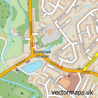
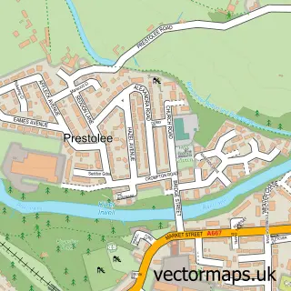
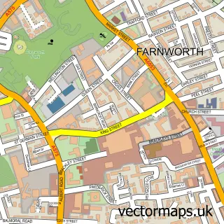
This Bolton street map is a detailed vector street map covering a 750m x 750m area. Select a larger area to create and download your own vector street map of Bolton.
The 750-metre map sample for Bolton covers 173 mapped buildings and approximately 29.0 km of road detail, of which 94 named roads are named. The immediate area includes 2 GP surgeries, with 34 within 2 miles, 25 pubs and 1 MOT station, with 62 within 2 miles. The wider area around Bolton features 7 tourism points of interest, 81 food and drink venues and 2 hotels. To create a larger or custom map of Bolton, the map builder lets you define your own coverage area and download editable SVG, PDF and PNG files.
Create a larger editable map of Bolton
Choose any area you need and generate a high-quality vector map instantly. Perfect for print, planning, design, business and personal use.

This Bolton street map in Greater Manchester is available as downloadable SVG, PDF and PNG map files, or as a printed map for planning, business, display, education, local information and design work. You can also create a larger custom map area using the map selector.
What this Bolton map sample shows
Bolton lies within Bolton District (B) parish, part of Halliwell ward in the Bolton District (B) local authority area. The postcode geography for this area includes the BL postcode area, the BL1 postcode district and the BL1 1 postcode sector. Residents fall under the Nhs Greater Manchester Integrated Care Board for NHS services.
Local features near Bolton
Within 2 milesAmenities and services in and around Bolton.
Administrative and postcode information for Bolton
Bolton lies within Bolton District (B) parish, part of Halliwell ward in the Bolton District (B) local authority area. The postcode geography for this area includes the BL postcode area, the BL1 postcode district and the BL1 1 postcode sector. Residents fall under the Nhs Greater Manchester Integrated Care Board for NHS services.
Nearby street map samples around Bolton

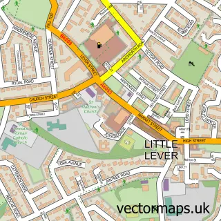
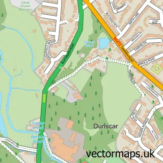
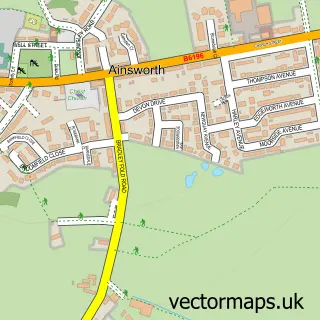
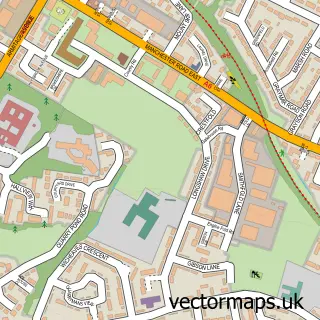
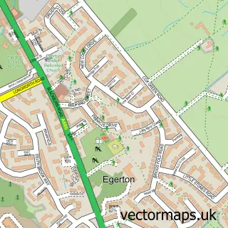

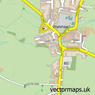
More street maps in Greater Manchester
750 metre map area coverage
Boundary, postcode and point of interest information for the 750m x 750m rectangle centred on this sample map.
Boundaries containing map centre
Constituency: Bolton North East Boro Const
District: Bolton District (B)
Icb: NHS Greater Manchester ICB
Police Force: greater manchester
Postcode District: BL1
Postcode Sector: BL1 1
Ward: Queens Park & Central Ward
Nearby boundaries intersecting sample
Constituency: Bolton South and Walkden Boro Const
Postcode District: BL2, BL3
Postcode Sector: BL1 2, BL1 4, BL2 1, BL3 5, BL3 6
Postcode coverage
POI category counts
Clothing Store: 39
Restaurant: 26
Pub: 25
Bar: 24
Beauty Salon: 23
Fast Food Restaurant: 20
Mobile Phone Store: 20
Charity Organization: 19
Professional Services: 18
Real Estate Agent: 18
Sample points of interest
- Mill View Care Home - Advinia Health Care
- Paderborn Court
- 3 TAX Accountants Bolton
- Addiction Dependancy Solutions
- Axis Promotions
- GBI Research
- Relative Marketing & Creative
- Telemark Services
- PLO's African Restaurant
- Scarlet Blinds And Shutters
- Nelson Square First Aid Medics
- Quicksilver
Create a larger editable map of Bolton
This sample shows only a 750 metre area. To create a larger map of Bolton, use our map builder to choose your own coverage area, add titles and download editable SVG, PDF and PNG files.
Create a custom map of Bolton