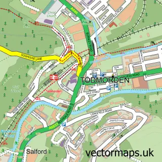
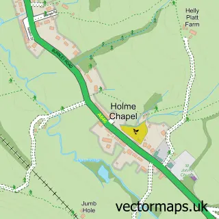
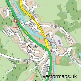
This Portsmouth street map is a detailed vector street map covering a 750m x 750m area. Select a larger area to create and download your own vector street map of Portsmouth.
The 750-metre map sample for Portsmouth covers 51 mapped buildings and approximately 9.2 km of road detail, of which 9 named roads are named. The immediate area includes 1 school, 1 pub and 1 MOT station within 2 miles. The wider area around Portsmouth features 1 tourism point of interest and 1 food and drink venue. To create a larger or custom map of Portsmouth, the map builder lets you define your own coverage area and download editable SVG, PDF and PNG files.
Create a larger editable map of Portsmouth
Choose any area you need and generate a high-quality vector map instantly. Perfect for print, planning, design, business and personal use.

This Portsmouth street map in West Yorkshire is available as downloadable SVG, PDF and PNG map files, or as a printed map for planning, business, display, education, local information and design work. You can also create a larger custom map area using the map selector.
What this Portsmouth map sample shows
Portsmouth lies within Todmorden Cp parish, part of Todmorden ward in the Calderdale District (B) local authority area. The postcode geography for this area includes the OL postcode area, the OL14 postcode district and the OL14 8 postcode sector. Residents fall under the Nhs West Yorkshire Integrated Care Board for NHS services.
Local features near Portsmouth
Within 2 milesAmenities and services in and around Portsmouth.
Administrative and postcode information for Portsmouth
The local authority covering Portsmouth is Calderdale District (B), within the county of West Yorkshire. The settlement lies within Todmorden ward and Todmorden Cp civil parish. The OL14 postcode district and OL14 8 postcode sector serve the immediate area. NHS provision in the area is delivered through Calderdale And Huddersfield Nhs Foundation Trust.
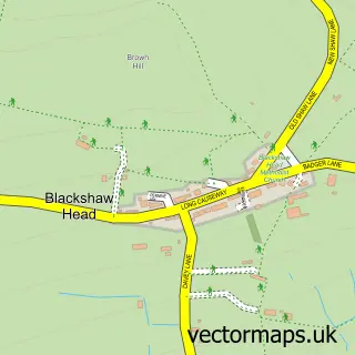
Nearby street map samples around Portsmouth

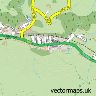
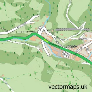
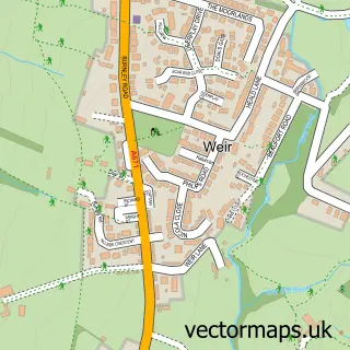
More street maps in West Yorkshire
750 metre map area coverage
Boundary, postcode and point of interest information for the 750m x 750m rectangle centred on this sample map.
Boundaries containing map centre
Constituency: Calder Valley Co Const
District: Calderdale District (B)
Icb: NHS West Yorkshire ICB
Parish: Todmorden CP
Police Force: west yorkshire
Postcode District: OL14
Postcode Sector: OL14 8
Ward: Todmorden Ward
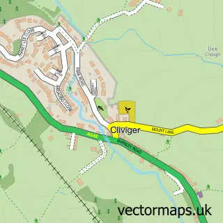
Nearby boundaries intersecting sample
Constituency: Burnley Co Const
County: Lancashire County
District: Burnley District (B)
Icb: NHS Lancashire and South Cumbria ICB
Parish: Cliviger CP
Police Force: lancashire
Postcode Sector: OL14 7
Ward: Cliviger with Worsthorne Ward
Postcode coverage
POI category counts
Automotive Repair: 1
Bar: 1
Business Consulting: 1
Dog Walkers: 1
E Commerce Service: 1
Elementary School: 1
Flowers And Gifts Shop: 1
Gastropub: 1
Grocery Store: 1
Landmark And Historical Building: 1
Sample points of interest
- Jimbob's Motors
- The Roebuck
- Compliance Matters Limited
- Vip Pet Care Service
- Sorbet Digital Ltd.
- Cornholme Junior and Infant School
- TLC Personalised
- Glen View Inn
- Calderdale Convenience
- Portsmouth, West Yorkshire
- Adminimaid
- InPost
Create a larger editable map of Portsmouth
This sample shows only a 750 metre area. To create a larger map of Portsmouth, use our map builder to choose your own coverage area, add titles and download editable SVG, PDF and PNG files.
Create a custom map of Portsmouth