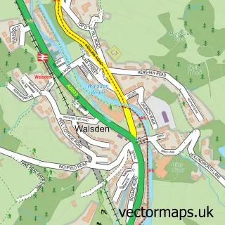
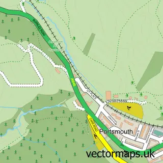
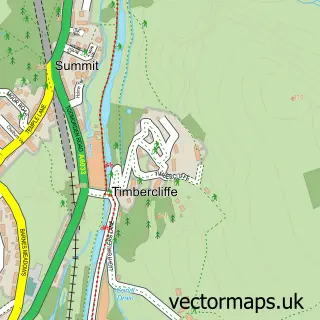
This Todmorden street map is a detailed vector street map covering a 750m x 750m area. Select a larger area to create and download your own vector street map of Todmorden.
The 750-metre map sample for Todmorden covers 201 mapped buildings and approximately 18.8 km of road detail, of which 71 named roads are named. The immediate area includes 1 school, 1 railway station, 1 GP surgery and 9 pubs among other local services. The wider area around Todmorden features 3 tourism points of interest, 25 food and drink venues and 1 hotel. To create a larger or custom map of Todmorden, the map builder lets you define your own coverage area and download editable SVG, PDF and PNG files.
Create a larger editable map of Todmorden
Choose any area you need and generate a high-quality vector map instantly. Perfect for print, planning, design, business and personal use.

This Todmorden street map in West Yorkshire is available as downloadable SVG, PDF and PNG map files, or as a printed map for planning, business, display, education, local information and design work. You can also create a larger custom map area using the map selector.
What this Todmorden map sample shows
Todmorden lies within Todmorden Cp parish, part of Todmorden ward in the Calderdale District (B) local authority area. The postcode geography for this area includes the OL postcode area, the OL14 postcode district and the OL14 5 postcode sector. Residents fall under the Nhs West Yorkshire Integrated Care Board for NHS services.
Local features near Todmorden
Within 2 milesAmenities and services in and around Todmorden.
Administrative and postcode information for Todmorden
The local authority covering Todmorden is Calderdale District (B), within the county of West Yorkshire. The settlement lies within Todmorden ward and Todmorden Cp civil parish. The OL14 postcode district and OL14 5 postcode sector serve the immediate area. NHS provision in the area is delivered through Calderdale And Huddersfield Nhs Foundation Trust.
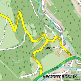
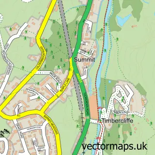
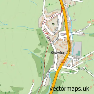
Nearby street map samples around Todmorden

More street maps in West Yorkshire
750 metre map area coverage
Boundary, postcode and point of interest information for the 750m x 750m rectangle centred on this sample map.
Boundaries containing map centre
Constituency: Calder Valley Co Const
District: Calderdale District (B)
Icb: NHS West Yorkshire ICB
Parish: Todmorden CP
Police Force: west yorkshire
Postcode District: OL14
Postcode Sector: OL14 7
Ward: Todmorden Ward
Nearby boundaries intersecting sample
Postcode Sector: OL14 5, OL14 6
Ward: Calder Ward
Postcode coverage
POI category counts
Art Gallery: 10
Hair Salon: 10
Beauty Salon: 9
Coffee Shop: 9
Pub: 9
Professional Services: 8
Automotive Repair: 7
Banks: 7
Bar: 6
Community Services Non Profits: 6
Sample points of interest
- Connelly & Co.
- Gledhill Accountancy
- The Acupuncture Centre
- Coffeepot Digital
- Healing Harmony
- Todmorden Ambulance Station
- St Mary’s Church Todmorden
- Age UK
- Rooms
- Sue Ryder
- Storah Architecture
- A Geddes Creates
Create a larger editable map of Todmorden
This sample shows only a 750 metre area. To create a larger map of Todmorden, use our map builder to choose your own coverage area, add titles and download editable SVG, PDF and PNG files.
Create a custom map of Todmorden