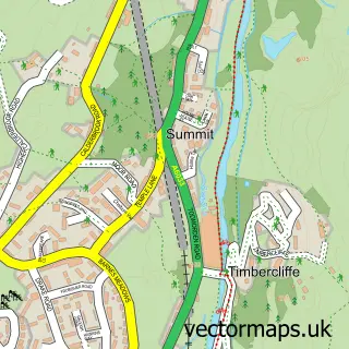
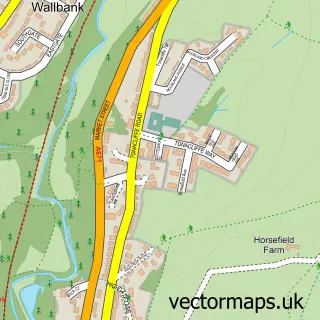
This Timbercliffe street map is a detailed vector street map covering a 750m x 750m area. Select a larger area to create and download your own vector street map of Timbercliffe.
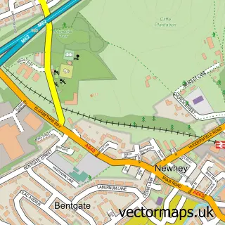
The 750-metre map sample for Timbercliffe covers 124 mapped buildings and approximately 8.9 km of road detail, of which 16 named roads are named. The immediate area includes 1 school, 4 GP surgeries within 2 miles and 3 MOT stations within 2 miles. The wider area around Timbercliffe features 2 tourism points of interest. To create a larger or custom map of Timbercliffe, the map builder lets you define your own coverage area and download editable SVG, PDF and PNG files.
Create a larger editable map of Timbercliffe
Choose any area you need and generate a high-quality vector map instantly. Perfect for print, planning, design, business and personal use.

This Timbercliffe street map in Greater Manchester is available as downloadable SVG, PDF and PNG map files, or as a printed map for planning, business, display, education, local information and design work. You can also create a larger custom map area using the map selector.
What this Timbercliffe map sample shows
Timbercliffe lies within Rochdale District (B) parish, part of Littleborough Lakeside ward in the Rochdale District (B) local authority area. The postcode geography for this area includes the OL postcode area, the OL15 postcode district and the OL15 9 postcode sector. Residents fall under the Nhs Greater Manchester Integrated Care Board for NHS services.
Local features near Timbercliffe
Within 2 milesAmenities and services in and around Timbercliffe.
Administrative and postcode information for Timbercliffe
The local authority covering Timbercliffe is Rochdale District (B), within the county of Greater Manchester. The settlement lies within Littleborough Lakeside ward and Rochdale District (B) civil parish. The OL15 postcode district and OL15 9 postcode sector serve the immediate area. NHS provision in the area is delivered through Manchester University Nhs Foundation Trust.
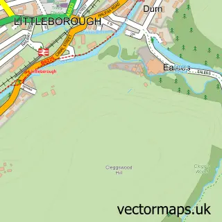
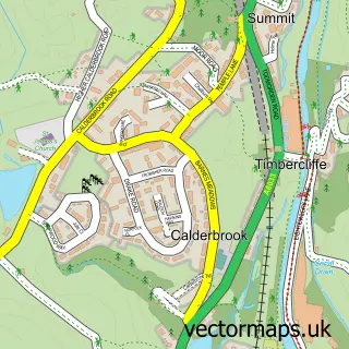
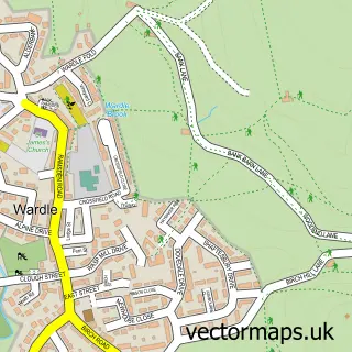
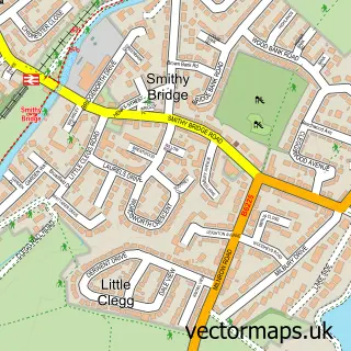
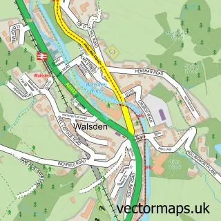
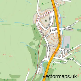
Nearby street map samples around Timbercliffe

More street maps in Greater Manchester
750 metre map area coverage
Boundary, postcode and point of interest information for the 750m x 750m rectangle centred on this sample map.
Boundaries containing map centre
Constituency: Rochdale Co Const
District: Rochdale District (B)
Icb: NHS Greater Manchester ICB
Police Force: greater manchester
Postcode District: OL15
Postcode Sector: OL15 9
Ward: Littleborough Lakeside Ward
Nearby boundaries intersecting sample
Postcode Sector: OL15 0
Postcode coverage
POI category counts
Arts And Entertainment: 2
Elementary School: 2
Flowers And Gifts Shop: 2
Landmark And Historical Building: 2
Beauty And Spa: 1
Business Management Services: 1
Chinese Restaurant: 1
Clothing Company: 1
Contractor: 1
Engineering Services: 1
Sample points of interest
- Prosceneium Ltd
- The Free Huntsman
- EBMC Elegance
- T Lord
- New China Palace
- Fothergill Engineered Fabrics
- Thomas Kershaw Builders
- Stansfield Hall Church of England Methodist Church Primary School
- Stansfield Hall Primary School
- Quality Consultants Ltd.
- Fothergill Crenette
- Nicky's Foodbar on Pennine Way
Create a larger editable map of Timbercliffe
This sample shows only a 750 metre area. To create a larger map of Timbercliffe, use our map builder to choose your own coverage area, add titles and download editable SVG, PDF and PNG files.
Create a custom map of Timbercliffe