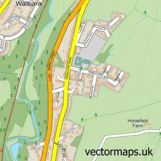
This Smithy Bridge street map is a detailed vector street map covering a 750m x 750m area. Select a larger area to create and download your own vector street map of Smithy Bridge.
The 750-metre map sample for Smithy Bridge covers 604 mapped buildings and approximately 20.5 km of road detail, of which 50 named roads are named. The immediate area includes 1 school, 1 railway station, 11 GP surgeries within 2 miles and 2 pubs among other local services. The wider area around Smithy Bridge features 1 tourism point of interest, 3 food and drink venues and 1 hotel. To create a larger or custom map of Smithy Bridge, the map builder lets you define your own coverage area and download editable SVG, PDF and PNG files.
Create a larger editable map of Smithy Bridge
Choose any area you need and generate a high-quality vector map instantly. Perfect for print, planning, design, business and personal use.

This Smithy Bridge street map in Greater Manchester is available as downloadable SVG, PDF and PNG map files, or as a printed map for planning, business, display, education, local information and design work. You can also create a larger custom map area using the map selector.
What this Smithy Bridge map sample shows
Smithy Bridge lies within Rochdale District (B) parish, part of Smallbridge And Firgrove ward in the Rochdale District (B) local authority area. The postcode geography for this area includes the OL postcode area, the OL12 postcode district and the OL12 9 postcode sector. Residents fall under the Nhs Greater Manchester Integrated Care Board for NHS services.
Local features near Smithy Bridge
Within 2 milesAmenities and services in and around Smithy Bridge.
Administrative and postcode information for Smithy Bridge
The local authority covering Smithy Bridge is Rochdale District (B), within the county of Greater Manchester. The settlement lies within Smallbridge And Firgrove ward and Rochdale District (B) civil parish. The OL12 postcode district and OL12 9 postcode sector serve the immediate area. NHS provision in the area is delivered through Manchester University Nhs Foundation Trust.
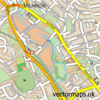
Nearby street map samples around Smithy Bridge


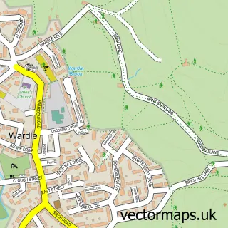
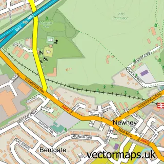
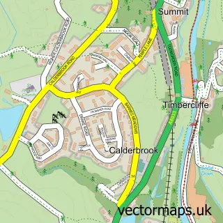


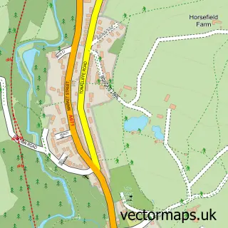

More street maps in Greater Manchester
750 metre map area coverage
Boundary, postcode and point of interest information for the 750m x 750m rectangle centred on this sample map.
Boundaries containing map centre
Constituency: Rochdale Co Const
District: Rochdale District (B)
Icb: NHS Greater Manchester ICB
Police Force: greater manchester
Postcode District: OL15
Postcode Sector: OL15 0
Ward: Littleborough Lakeside Ward
Nearby boundaries intersecting sample
Postcode Sector: OL15 8
Ward: Wardle, Shore & West Littleborough Ward
Postcode coverage
POI category counts
Auto Electrical Repair: 2
Bakery: 2
Beauty Salon: 2
Building Supply Store: 2
Convenience Store: 2
Electrician: 2
Hair Salon: 2
It Service And Computer Repair: 2
Pub: 2
Retirement Home: 2
Sample points of interest
- Rothwell Promotional Gifts
- Smithy Bridge Court
- Sudsomatic
- MAG - Tech Ltd.
- Mag-tech
- SG Mortgage Solutions
- Kstyle Kitchens Cake Designs
- lastminute.cake
- Decadence Nail Design & Beauty
- Hair & Beauty by Sheree
- Leighton House
- Pete Leonard
Create a larger editable map of Smithy Bridge
This sample shows only a 750 metre area. To create a larger map of Smithy Bridge, use our map builder to choose your own coverage area, add titles and download editable SVG, PDF and PNG files.
Create a custom map of Smithy Bridge