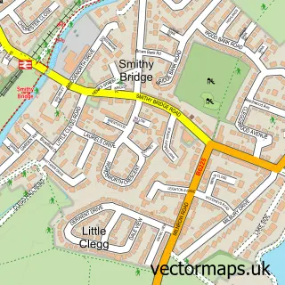
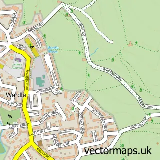
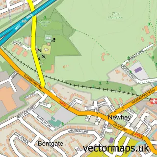
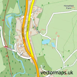
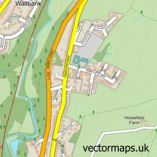
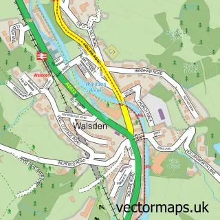
This Littleborough street map is a detailed vector street map covering a 750m x 750m area. Select a larger area to create and download your own vector street map of Littleborough.
The 750-metre map sample for Littleborough covers 101 mapped buildings and approximately 7.8 km of road detail, of which 25 named roads are named. The immediate area includes 1 railway station, 4 GP surgeries within 2 miles, 4 pubs and 4 MOT stations within 2 miles. The wider area around Littleborough features 2 tourism points of interest and 10 food and drink venues. To create a larger or custom map of Littleborough, the map builder lets you define your own coverage area and download editable SVG, PDF and PNG files.
Create a larger editable map of Littleborough
Choose any area you need and generate a high-quality vector map instantly. Perfect for print, planning, design, business and personal use.

This Littleborough street map in Greater Manchester is available as downloadable SVG, PDF and PNG map files, or as a printed map for planning, business, display, education, local information and design work. You can also create a larger custom map area using the map selector.
What this Littleborough map sample shows
Littleborough lies within Rochdale District (B) parish, part of Littleborough Lakeside ward in the Rochdale District (B) local authority area. The postcode geography for this area includes the OL postcode area, the OL15 postcode district and the OL15 9 postcode sector. Residents fall under the Nhs Greater Manchester Integrated Care Board for NHS services.
Local features near Littleborough
Within 2 milesAmenities and services in and around Littleborough.
Administrative and postcode information for Littleborough
Littleborough lies within Rochdale District (B) parish, part of Littleborough Lakeside ward in the Rochdale District (B) local authority area. The postcode geography for this area includes the OL postcode area, the OL15 postcode district and the OL15 9 postcode sector. Residents fall under the Nhs Greater Manchester Integrated Care Board for NHS services.
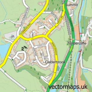
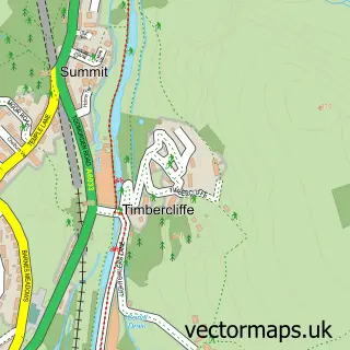
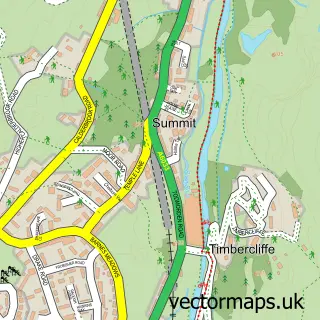
Nearby street map samples around Littleborough

More street maps in Greater Manchester
750 metre map area coverage
Boundary, postcode and point of interest information for the 750m x 750m rectangle centred on this sample map.
Boundaries containing map centre
Constituency: Rochdale Co Const
District: Rochdale District (B)
Icb: NHS Greater Manchester ICB
Police Force: greater manchester
Postcode District: OL15
Postcode Sector: OL15 0
Ward: Littleborough Lakeside Ward
Nearby boundaries intersecting sample
Postcode Sector: OL15 8, OL15 9
Postcode coverage
POI category counts
Beauty Salon: 7
Cafe: 4
Flowers And Gifts Shop: 4
Pub: 4
Butcher Shop: 3
Coffee Shop: 3
Womens Clothing Store: 3
Accountant: 2
Antique Store: 2
Bar: 2
Sample points of interest
- BES Accountancy Services
- Bes Accountancy Services Ltd.
- Time My Race
- Holy Trinity, Littleborough
- Littleborough Re-Use
- Nostalgia Antiques
- The Cooperative Food Littleborough (ERF), Littleborough
- Farneys Place
- Borough Vehicle Repair
- Annette Rennie
- Grape N Grain
- Toppos Bar
Create a larger editable map of Littleborough
This sample shows only a 750 metre area. To create a larger map of Littleborough, use our map builder to choose your own coverage area, add titles and download editable SVG, PDF and PNG files.
Create a custom map of Littleborough