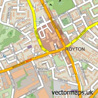
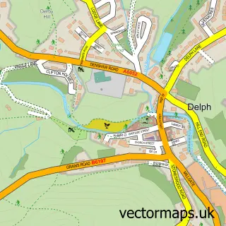
This Thornham street map is a detailed vector street map covering a 750m x 750m area. Select a larger area to create and download your own vector street map of Thornham.
The 750-metre map sample for Thornham covers 315 mapped buildings and approximately 14.1 km of road detail, of which 28 named roads are named. The immediate area includes 1 school, 8 GP surgeries within 2 miles, 4 pubs and 22 MOT stations within 2 miles. The wider area around Thornham features 1 tourism point of interest and 4 food and drink venues. To create a larger or custom map of Thornham, the map builder lets you define your own coverage area and download editable SVG, PDF and PNG files.
Create a larger editable map of Thornham
Choose any area you need and generate a high-quality vector map instantly. Perfect for print, planning, design, business and personal use.

This Thornham street map in Greater Manchester is available as downloadable SVG, PDF and PNG map files, or as a printed map for planning, business, display, education, local information and design work. You can also create a larger custom map area using the map selector.
What this Thornham map sample shows
Thornham lies within Oldham District (B) parish, part of Royton South ward in the Oldham District (B) local authority area. The postcode geography for this area includes the OL postcode area, the OL2 postcode district and the OL2 6 postcode sector. Residents fall under the Nhs Greater Manchester Integrated Care Board for NHS services.
Local features near Thornham
Within 2 milesAmenities and services in and around Thornham.
Administrative and postcode information for Thornham
Thornham lies within Oldham District (B) parish, part of Royton South ward in the Oldham District (B) local authority area. The postcode geography for this area includes the OL postcode area, the OL2 postcode district and the OL2 6 postcode sector. Residents fall under the Nhs Greater Manchester Integrated Care Board for NHS services.
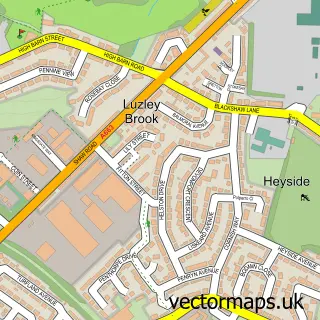
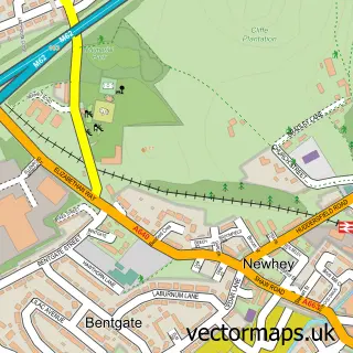
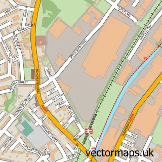
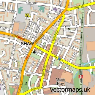
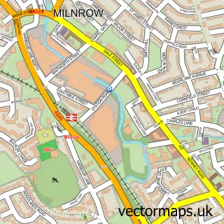
Nearby street map samples around Thornham

More street maps in Greater Manchester
750 metre map area coverage
Boundary, postcode and point of interest information for the 750m x 750m rectangle centred on this sample map.
Boundaries containing map centre
Constituency: Oldham West, Chadderton and Royton Boro Const
District: Oldham District (B)
Icb: NHS Greater Manchester ICB
Police Force: greater manchester
Postcode District: OL2
Postcode Sector: OL2 6
Ward: Royton North Ward
Nearby boundaries intersecting sample
Constituency: Rochdale Co Const
District: Rochdale District (B)
Postcode District: OL11, OL16
Postcode Sector: OL11 2, OL16 4, OL2 5
Ward: Balderstone & Kirkholt Ward
Postcode coverage
POI category counts
Pub: 4
Electrician: 2
Flowers And Gifts Shop: 2
Anglican Church: 1
Beauty Salon: 1
Church Cathedral: 1
Convenience Store: 1
Driving School: 1
Elementary School: 1
Farm: 1
Sample points of interest
- St James Thornham
- Kay somerville pmu
- St James' Church
- Premier
- Mike's Driving Lessons - Royton & Surrounding Areas
- Greenplug Energy
- NPS Solar
- Thornham St James' C of E Primary School
- NPS Equestrian
- Open All Flowers International
- Mollie Smyth Flowers & Gifts
- Natural Fleur
Create a larger editable map of Thornham
This sample shows only a 750 metre area. To create a larger map of Thornham, use our map builder to choose your own coverage area, add titles and download editable SVG, PDF and PNG files.
Create a custom map of Thornham