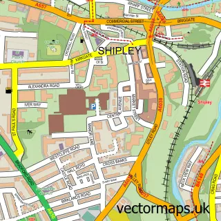
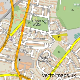
This Bradford street map is a detailed vector street map covering a 750m x 750m area. Select a larger area to create and download your own vector street map of Bradford.
The 750-metre map sample for Bradford covers 124 mapped buildings and approximately 27.3 km of road detail, of which 88 named roads are named. The immediate area includes 2 railway stations, 3 GP surgeries, with 32 within 2 miles, 25 pubs and 96 MOT stations within 2 miles. The wider area around Bradford features 14 tourism points of interest, 73 food and drink venues and 17 hotels. To create a larger or custom map of Bradford, the map builder lets you define your own coverage area and download editable SVG, PDF and PNG files.
Create a larger editable map of Bradford
Choose any area you need and generate a high-quality vector map instantly. Perfect for print, planning, design, business and personal use.

This Bradford street map in West Yorkshire is available as downloadable SVG, PDF and PNG map files, or as a printed map for planning, business, display, education, local information and design work. You can also create a larger custom map area using the map selector.
What this Bradford map sample shows
Bradford lies within Bradford District (B) parish, part of Heaton ward in the Bradford District (B) local authority area. The postcode geography for this area includes the BD postcode area, the BD9 postcode district and the BD9 4 postcode sector. Residents fall under the Nhs West Yorkshire Integrated Care Board for NHS services.
Local features near Bradford
Within 2 milesAmenities and services in and around Bradford.
Administrative and postcode information for Bradford
Bradford lies within Bradford District (B) parish, part of Heaton ward in the Bradford District (B) local authority area. The postcode geography for this area includes the BD postcode area, the BD9 postcode district and the BD9 4 postcode sector. Residents fall under the Nhs West Yorkshire Integrated Care Board for NHS services.
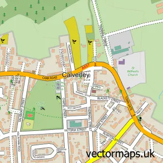
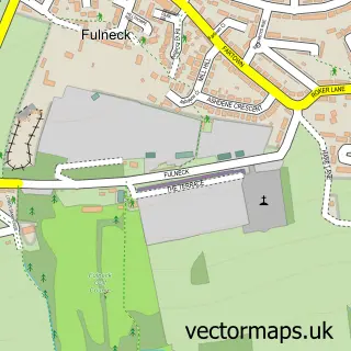
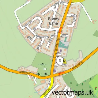
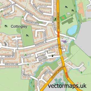
Nearby street map samples around Bradford
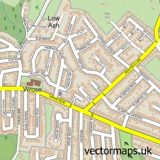
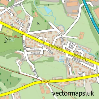
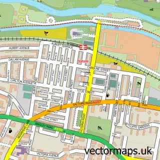
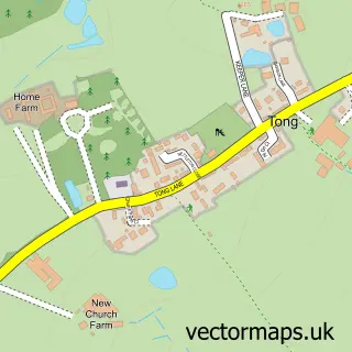
More street maps in West Yorkshire
750 metre map area coverage
Boundary, postcode and point of interest information for the 750m x 750m rectangle centred on this sample map.
Boundaries containing map centre
Constituency: Bradford West Boro Const
District: Bradford District (B)
Icb: NHS West Yorkshire ICB
Police Force: west yorkshire
Postcode District: BD1
Postcode Sector: BD1 1
Ward: City Ward
Nearby boundaries intersecting sample
Constituency: Bradford East Boro Const
Postcode District: BD5, BD7
Postcode Sector: BD1 2, BD1 3, BD1 4, BD1 5, BD5 0, BD7 1
Ward: Bowling and Barkerend Ward
Postcode coverage
POI category counts
Mobile Phone Store: 43
Clothing Store: 39
Employment Agencies: 30
Beauty Salon: 29
Bar: 27
Pub: 25
Coffee Shop: 23
Jewelry Store: 23
Professional Services: 23
Hair Salon: 19
Sample points of interest
- Carringtons
- Nazman Holdings
- Bradford Mela
- Winder Boats
- Call Centre Support
- Creative Thinking Media
- E ProfitBooster UK
- Hark Marketing
- Launchpad Studio Ltd
- Streetwise Social Media Marketing & Branding Specialists
- Threefold
- Pakistan International Airlines
Create a larger editable map of Bradford
This sample shows only a 750 metre area. To create a larger map of Bradford, use our map builder to choose your own coverage area, add titles and download editable SVG, PDF and PNG files.
Create a custom map of Bradford