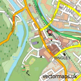
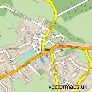
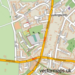
This Cottingley street map is a detailed vector street map covering a 750m x 750m area. Select a larger area to create and download your own vector street map of Cottingley.
The 750-metre map sample for Cottingley covers 319 mapped buildings and approximately 15.4 km of road detail, of which 27 named roads are named. The immediate area includes 1 primary school and 1 secondary school, 6 GP surgeries within 2 miles, 1 pub and 12 MOT stations within 2 miles. The wider area around Cottingley features 1 tourism point of interest and 1 food and drink venue. To create a larger or custom map of Cottingley, the map builder lets you define your own coverage area and download editable SVG, PDF and PNG files.
Create a larger editable map of Cottingley
Choose any area you need and generate a high-quality vector map instantly. Perfect for print, planning, design, business and personal use.

This Cottingley street map in West Yorkshire is available as downloadable SVG, PDF and PNG map files, or as a printed map for planning, business, display, education, local information and design work. You can also create a larger custom map area using the map selector.
What this Cottingley map sample shows
Cottingley lies within Bingley Cp parish, part of Bingley Rural ward in the Bradford District (B) local authority area. The postcode geography for this area includes the BD postcode area, the BD16 postcode district and the BD16 1 postcode sector. Residents fall under the Nhs West Yorkshire Integrated Care Board for NHS services.
Local features near Cottingley
Within 2 milesAmenities and services in and around Cottingley.
Administrative and postcode information for Cottingley
The local authority covering Cottingley is Bradford District (B), within the county of West Yorkshire. The settlement lies within Bingley Rural ward and Bingley Cp civil parish. The BD16 postcode district and BD16 1 postcode sector serve the immediate area. NHS provision in the area is delivered through Bradford Teaching Hospitals Nhs Foundation Trust.
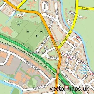
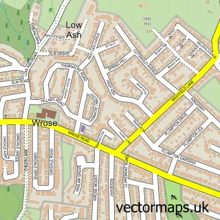
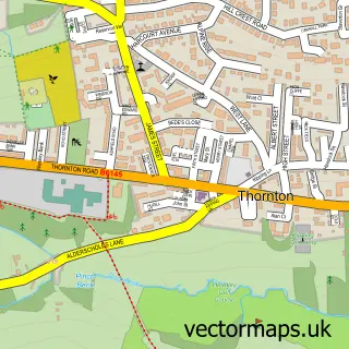
Nearby street map samples around Cottingley

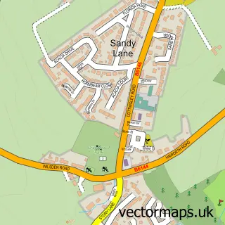
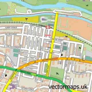
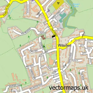
More street maps in West Yorkshire
750 metre map area coverage
Boundary, postcode and point of interest information for the 750m x 750m rectangle centred on this sample map.
Boundaries containing map centre
Constituency: Shipley Co Const
District: Bradford District (B)
Icb: NHS West Yorkshire ICB
Parish: Bingley CP
Police Force: west yorkshire
Postcode District: BD16
Postcode Sector: BD16 1
Ward: Bingley Rural Ward
Nearby boundaries intersecting sample
Parish: Shipley CP
Ward: Shipley Ward
Postcode coverage
POI category counts
Gas Station: 4
Beauty Salon: 3
Gym: 3
It Service And Computer Repair: 3
Appliance Repair Service: 2
Church Cathedral: 2
Physical Therapy: 2
Professional Services: 2
Public Health Clinic: 2
Retirement Home: 2
Sample points of interest
- Team Micro Ltd
- Gas Heating Specialist
- Osborne Appliance Repair
- Cottingley Barber Shop
- Tranquillity Natural Skincare
- Beauty Studio
- Chic Beauty Studio
- Luxe Beautique
- Express Hedge Trimming Services
- Expo Creative Ltd.
- Business IT Support Team Ltd.
- Homecare Cleaning
Create a larger editable map of Cottingley
This sample shows only a 750 metre area. To create a larger map of Cottingley, use our map builder to choose your own coverage area, add titles and download editable SVG, PDF and PNG files.
Create a custom map of Cottingley