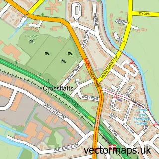
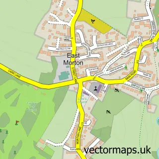
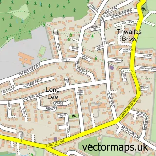
This Bingley street map is a detailed vector street map covering a 750m x 750m area. Select a larger area to create and download your own vector street map of Bingley.
The 750-metre map sample for Bingley covers 181 mapped buildings and approximately 25.3 km of road detail, of which 70 named roads are named. The immediate area includes 1 railway station, 3 GP surgeries within 2 miles, 15 pubs and 4 MOT stations, with 8 within 2 miles. The wider area around Bingley features 5 tourism points of interest and 31 food and drink venues. To create a larger or custom map of Bingley, the map builder lets you define your own coverage area and download editable SVG, PDF and PNG files.
Create a larger editable map of Bingley
Choose any area you need and generate a high-quality vector map instantly. Perfect for print, planning, design, business and personal use.

This Bingley street map in West Yorkshire is available as downloadable SVG, PDF and PNG map files, or as a printed map for planning, business, display, education, local information and design work. You can also create a larger custom map area using the map selector.
What this Bingley map sample shows
Bingley lies within Bingley Cp parish, part of Bingley ward in the Bradford District (B) local authority area. The postcode geography for this area includes the BD postcode area, the BD16 postcode district and the BD16 2 postcode sector. Residents fall under the Nhs West Yorkshire Integrated Care Board for NHS services.
Local features near Bingley
Within 2 milesAmenities and services in and around Bingley.
Administrative and postcode information for Bingley
Bingley lies within Bingley Cp parish, part of Bingley ward in the Bradford District (B) local authority area. The postcode geography for this area includes the BD postcode area, the BD16 postcode district and the BD16 2 postcode sector. Residents fall under the Nhs West Yorkshire Integrated Care Board for NHS services.
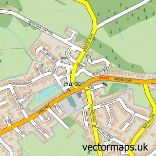
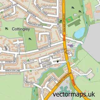
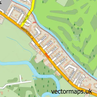
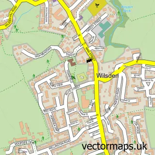
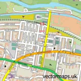
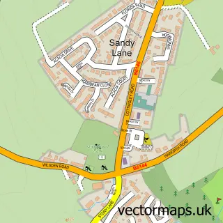
Nearby street map samples around Bingley

More street maps in West Yorkshire
750 metre map area coverage
Boundary, postcode and point of interest information for the 750m x 750m rectangle centred on this sample map.
Boundaries containing map centre
Constituency: Shipley Co Const
District: Bradford District (B)
Icb: NHS West Yorkshire ICB
Parish: Bingley CP
Police Force: west yorkshire
Postcode District: BD16
Postcode Sector: BD16 2
Ward: Bingley Ward
Nearby boundaries intersecting sample
Postcode Sector: BD16 1, BD16 4
Postcode coverage
POI category counts
Beauty Salon: 15
Pub: 15
Bar: 13
Hair Salon: 12
Real Estate Agent: 10
Barber: 7
Cafe: 7
Automotive Repair: 6
Beauty And Spa: 6
Building Supply Store: 5
Sample points of interest
- TaxAssist Accountants
- Ravenroyd Equestrian - Liana Upton
- Java Productions
- Jess Wright Graphics
- Respond Marketing
- Prospect House Clinic
- Wellbeing Massage and Reflexology
- Age UK
- Jubilee Outreach Yorkshire
- Scope Charity Shop
- Sue Ryder
- Airedale Architects Ltd
Create a larger editable map of Bingley
This sample shows only a 750 metre area. To create a larger map of Bingley, use our map builder to choose your own coverage area, add titles and download editable SVG, PDF and PNG files.
Create a custom map of Bingley