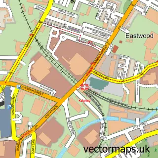
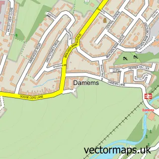
This Long Lee street map is a detailed vector street map covering a 750m x 750m area. Select a larger area to create and download your own vector street map of Long Lee.
The 750-metre map sample for Long Lee covers 555 mapped buildings and approximately 15.4 km of road detail, of which 42 named roads are named. The immediate area includes 1 school, 1 GP surgery within 2 miles, 1 pub and 28 MOT stations within 2 miles. The wider area around Long Lee features 1 tourism point of interest and 1 food and drink venue. To create a larger or custom map of Long Lee, the map builder lets you define your own coverage area and download editable SVG, PDF and PNG files.
Create a larger editable map of Long Lee
Choose any area you need and generate a high-quality vector map instantly. Perfect for print, planning, design, business and personal use.

This Long Lee street map in West Yorkshire is available as downloadable SVG, PDF and PNG map files, or as a printed map for planning, business, display, education, local information and design work. You can also create a larger custom map area using the map selector.
What this Long Lee map sample shows
Long Lee lies within Keighley Cp parish, part of Keighley Central ward in the Bradford District (B) local authority area. The postcode geography for this area includes the BD postcode area, the BD21 postcode district and the BD21 1 postcode sector. Residents fall under the Nhs West Yorkshire Integrated Care Board for NHS services.
Local features near Long Lee
Within 2 milesAmenities and services in and around Long Lee.
Administrative and postcode information for Long Lee
The local authority covering Long Lee is Bradford District (B), within the county of West Yorkshire. The settlement lies within Keighley Central ward and Keighley Cp civil parish. The BD21 postcode district and BD21 1 postcode sector serve the immediate area. NHS provision in the area is delivered through Airedale Nhs Foundation Trust.
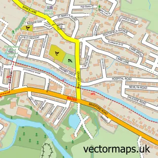
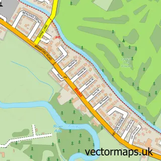
Nearby street map samples around Long Lee

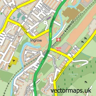
More street maps in West Yorkshire
750 metre map area coverage
Boundary, postcode and point of interest information for the 750m x 750m rectangle centred on this sample map.
Boundaries containing map centre
Constituency: Keighley and Ilkley Co Const
District: Bradford District (B)
Icb: NHS West Yorkshire ICB
Parish: Keighley CP
Police Force: west yorkshire
Postcode District: BD21
Postcode Sector: BD21 4
Ward: Keighley East Ward
Nearby boundaries intersecting sample
No additional intersecting boundaries found.
Postcode coverage
POI category counts
Church Cathedral: 2
Doctor: 2
Anglican Church: 1
Atms: 1
Automotive Parts And Accessories: 1
Automotive Repair: 1
Bar: 1
Career Counseling: 1
Carpenter: 1
Construction Services: 1
Sample points of interest
- St Barnabas
- SOUTHAMS OF HOWARTH (Mirren) (Protected)
- Yorkshire Machined Parts Ltd
- Defined Reflections
- Long Lee Cricket Club
- Liam Dent
- APJoinery
- Long Lee Methodist Church
- St. Barnabas Church
- S.gray building ltd
- SB Workshops & Adjudicating
- Busy B's Baby & Toddler Group
Create a larger editable map of Long Lee
This sample shows only a 750 metre area. To create a larger map of Long Lee, use our map builder to choose your own coverage area, add titles and download editable SVG, PDF and PNG files.
Create a custom map of Long Lee