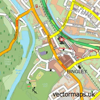
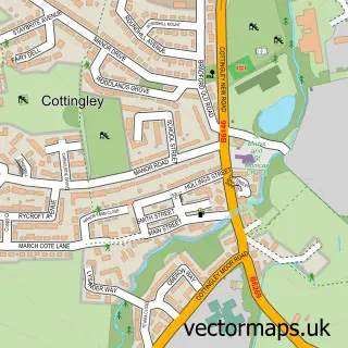
This East Morton street map is a detailed vector street map covering a 750m x 750m area. Select a larger area to create and download your own vector street map of East Morton.
The 750-metre map sample for East Morton covers 265 mapped buildings and approximately 10.4 km of road detail, of which 29 named roads are named. The immediate area includes 1 school, 1 pub and 14 MOT stations within 2 miles. The wider area around East Morton features 1 food and drink venue. To create a larger or custom map of East Morton, the map builder lets you define your own coverage area and download editable SVG, PDF and PNG files.
Create a larger editable map of East Morton
Choose any area you need and generate a high-quality vector map instantly. Perfect for print, planning, design, business and personal use.

This East Morton street map in West Yorkshire is available as downloadable SVG, PDF and PNG map files, or as a printed map for planning, business, display, education, local information and design work. You can also create a larger custom map area using the map selector.
What this East Morton map sample shows
East Morton lies within Keighley Cp parish, part of Keighley East ward in the Bradford District (B) local authority area. The postcode geography for this area includes the BD postcode area, the BD20 postcode district and the BD20 5 postcode sector. Residents fall under the Nhs West Yorkshire Integrated Care Board for NHS services.
Local features near East Morton
Within 2 milesAmenities and services in and around East Morton.
Administrative and postcode information for East Morton
East Morton lies within Keighley Cp parish, part of Keighley East ward in the Bradford District (B) local authority area. The postcode geography for this area includes the BD postcode area, the BD20 postcode district and the BD20 5 postcode sector. Residents fall under the Nhs West Yorkshire Integrated Care Board for NHS services.
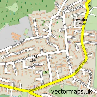
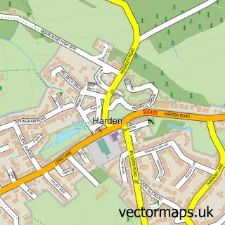
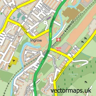
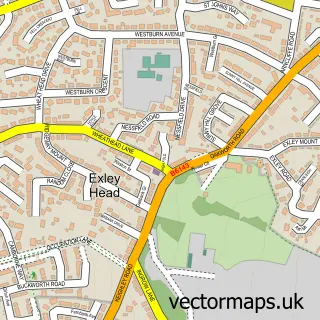
Nearby street map samples around East Morton

More street maps in West Yorkshire
750 metre map area coverage
Boundary, postcode and point of interest information for the 750m x 750m rectangle centred on this sample map.
Boundaries containing map centre
Constituency: Keighley and Ilkley Co Const
District: Bradford District (B)
Icb: NHS West Yorkshire ICB
Parish: Keighley CP
Police Force: west yorkshire
Postcode District: BD20
Postcode Sector: BD20 5
Ward: Keighley East Ward
Nearby boundaries intersecting sample
Postcode District: BD16
Postcode Sector: BD16 3
Postcode coverage
POI category counts
Church Cathedral: 2
Community Services Non Profits: 2
Anglican Church: 1
Business Manufacturing And Supply: 1
Dog Park: 1
Elementary School: 1
Employment Agencies: 1
Flowers And Gifts Shop: 1
Golf Course: 1
Grocery Store: 1
Sample points of interest
- Morton: St Luke
- Stray Reeds
- St Luke's Church
- st.lukes church.east morton
- Morton War Memorial Institute
- Morton War Memorial Institute
- Bingley View Dog Park
- East Morton CE Primary School
- Profile Search and Selection
- The Wish Boutique
- East Morton Golf Club
- East Morton Community Shop
Create a larger editable map of East Morton
This sample shows only a 750 metre area. To create a larger map of East Morton, use our map builder to choose your own coverage area, add titles and download editable SVG, PDF and PNG files.
Create a custom map of East Morton