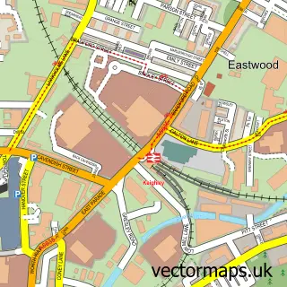
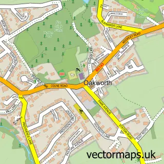
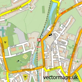
This Ingrow street map is a detailed vector street map covering a 750m x 750m area. Select a larger area to create and download your own vector street map of Ingrow.
The 750-metre map sample for Ingrow covers 279 mapped buildings and approximately 19.7 km of road detail, of which 67 named roads are named. The immediate area includes 1 school, 1 railway station, 1 GP surgery within 2 miles and 1 pub among other local services. The wider area around Ingrow features 9 tourism points of interest, 1 food and drink venue and 1 hotel. To create a larger or custom map of Ingrow, the map builder lets you define your own coverage area and download editable SVG, PDF and PNG files.
Create a larger editable map of Ingrow
Choose any area you need and generate a high-quality vector map instantly. Perfect for print, planning, design, business and personal use.

This Ingrow street map in West Yorkshire is available as downloadable SVG, PDF and PNG map files, or as a printed map for planning, business, display, education, local information and design work. You can also create a larger custom map area using the map selector.
What this Ingrow map sample shows
Ingrow lies within Keighley Cp parish, part of Keighley Central ward in the Bradford District (B) local authority area. The postcode geography for this area includes the BD postcode area, the BD21 postcode district and the BD21 1 postcode sector. Residents fall under the Nhs West Yorkshire Integrated Care Board for NHS services.
Local features near Ingrow
Within 2 milesAmenities and services in and around Ingrow.
Administrative and postcode information for Ingrow
The local authority covering Ingrow is Bradford District (B), within the county of West Yorkshire. The settlement lies within Keighley Central ward and Keighley Cp civil parish. The BD21 postcode district and BD21 1 postcode sector serve the immediate area. NHS provision in the area is delivered through Airedale Nhs Foundation Trust.
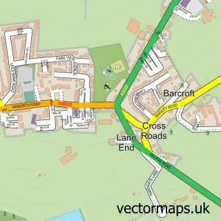
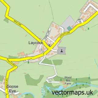
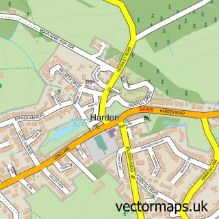
Nearby street map samples around Ingrow

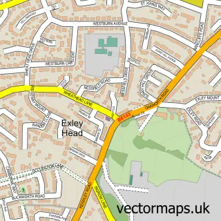
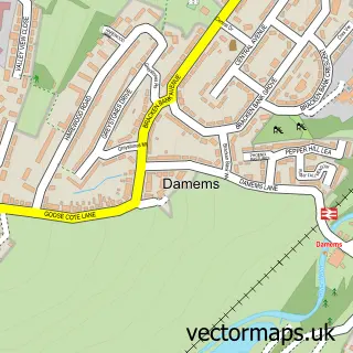
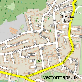
More street maps in West Yorkshire
750 metre map area coverage
Boundary, postcode and point of interest information for the 750m x 750m rectangle centred on this sample map.
Boundaries containing map centre
Constituency: Keighley and Ilkley Co Const
District: Bradford District (B)
Icb: NHS West Yorkshire ICB
Parish: Keighley CP
Police Force: west yorkshire
Postcode District: BD21
Postcode Sector: BD21 5
Ward: Keighley East Ward
Nearby boundaries intersecting sample
Postcode District: BD22
Postcode Sector: BD21 1, BD22 7
Ward: Keighley Central Ward, Keighley West Ward
Postcode coverage
POI category counts
Museum: 6
Train Station: 4
Atms: 3
Beauty Salon: 3
Doctor: 3
Fish And Chips Restaurant: 3
Anglican Church: 2
Car Dealer: 2
Convenience Store: 2
Dance School: 2
Sample points of interest
- Paul Murphy Accountancy Ltd
- St John the Evangelist, Ingrow
- St Johns Church Vicarage
- Howden Hall Mobility
- Harvest Energy - Keighley (Brobot) (ERF)
- Payzone
- The Cooperative Food (BF) Broomhill Avenue
- Auto Bodyz Accident Repair Centre
- Motability Scheme at Colin Appleyard Suzuki Keighley
- The Hair Jem
- Be Eyeconic
- Beautique
Create a larger editable map of Ingrow
This sample shows only a 750 metre area. To create a larger map of Ingrow, use our map builder to choose your own coverage area, add titles and download editable SVG, PDF and PNG files.
Create a custom map of Ingrow