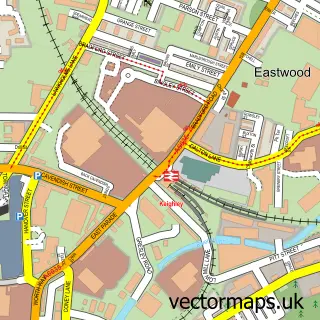
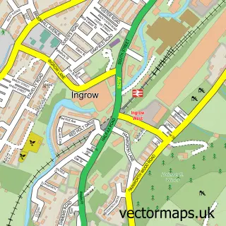
This Cross Roads street map is a detailed vector street map covering a 750m x 750m area. Select a larger area to create and download your own vector street map of Cross Roads.
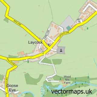
The 750-metre map sample for Cross Roads covers 248 mapped buildings and approximately 13.1 km of road detail, of which 39 named roads are named. The immediate area includes 1 school, 1 GP surgery within 2 miles, 1 pub and 1 MOT station, with 9 within 2 miles. The wider area around Cross Roads features 1 tourism point of interest, 3 food and drink venues and 2 hotels. To create a larger or custom map of Cross Roads, the map builder lets you define your own coverage area and download editable SVG, PDF and PNG files.
Create a larger editable map of Cross Roads
Choose any area you need and generate a high-quality vector map instantly. Perfect for print, planning, design, business and personal use.

This Cross Roads street map in West Yorkshire is available as downloadable SVG, PDF and PNG map files, or as a printed map for planning, business, display, education, local information and design work. You can also create a larger custom map area using the map selector.
What this Cross Roads map sample shows
Cross Roads lies within Cross Roads Cp parish, part of Worth Valley ward in the Bradford District (B) local authority area. The postcode geography for this area includes the BD postcode area, the BD22 postcode district and the BD22 9 postcode sector. Residents fall under the Nhs West Yorkshire Integrated Care Board for NHS services.
Local features near Cross Roads
Within 2 milesAmenities and services in and around Cross Roads.
Administrative and postcode information for Cross Roads
Cross Roads lies within Cross Roads Cp parish, part of Worth Valley ward in the Bradford District (B) local authority area. The postcode geography for this area includes the BD postcode area, the BD22 postcode district and the BD22 9 postcode sector. Residents fall under the Nhs West Yorkshire Integrated Care Board for NHS services.
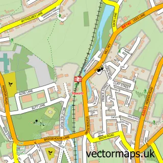
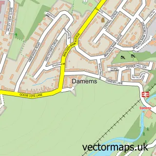
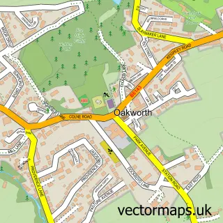
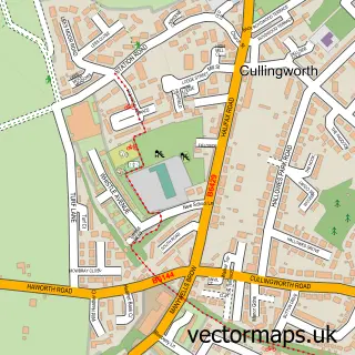
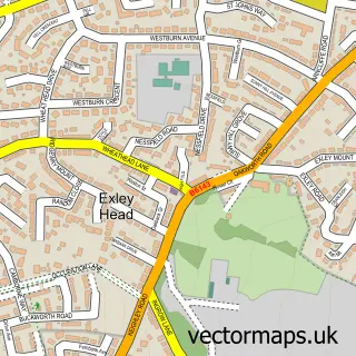
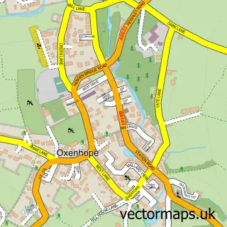
Nearby street map samples around Cross Roads

More street maps in West Yorkshire
750 metre map area coverage
Boundary, postcode and point of interest information for the 750m x 750m rectangle centred on this sample map.
Boundaries containing map centre
Constituency: Keighley and Ilkley Co Const
District: Bradford District (B)
Icb: NHS West Yorkshire ICB
Parish: Cross Roads CP
Police Force: west yorkshire
Postcode District: BD22
Postcode Sector: BD22 9
Ward: Worth Valley Ward
Nearby boundaries intersecting sample
Constituency: Shipley Co Const
Parish: Cullingworth CP
Postcode District: BD21
Postcode Sector: BD21 5
Ward: Bingley Rural Ward
Postcode coverage
POI category counts
Indian Restaurant: 3
Industrial Equipment: 3
Insurance Agency: 3
Pet Groomer: 3
Bakery: 2
Bar: 2
Beauty And Spa: 2
Church Cathedral: 2
Furniture Store: 2
Hair Salon: 2
Sample points of interest
- Cross Roads-cum-Lees: St James
- Bocking Farm Cottage Kitchen
- Wild J
- Bocking Working Men's Club
- Cross Roads Inn
- A Pretty Dreadfull Life
- Hair Design & Hair Extensions
- Jade Dowse Beauty and Lash Training Academy
- Greendale Landscapes
- Vogue Developments
- Sports Scholarship Insurance
- Paul Leadbeater & Son
Create a larger editable map of Cross Roads
This sample shows only a 750 metre area. To create a larger map of Cross Roads, use our map builder to choose your own coverage area, add titles and download editable SVG, PDF and PNG files.
Create a custom map of Cross Roads