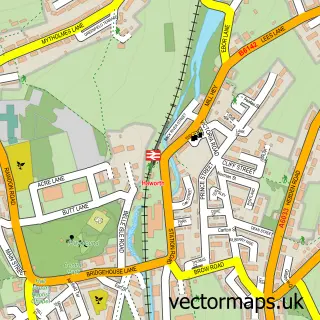
This Oakworth street map is a detailed vector street map covering a 750m x 750m area. Select a larger area to create and download your own vector street map of Oakworth.
The 750-metre map sample for Oakworth covers 405 mapped buildings and approximately 15.1 km of road detail, of which 40 named roads are named. The immediate area includes 1 school, 1 GP surgery within 2 miles and 13 MOT stations within 2 miles. The wider area around Oakworth features 1 tourism point of interest and 2 food and drink venues. To create a larger or custom map of Oakworth, the map builder lets you define your own coverage area and download editable SVG, PDF and PNG files.
Create a larger editable map of Oakworth
Choose any area you need and generate a high-quality vector map instantly. Perfect for print, planning, design, business and personal use.

This Oakworth street map in West Yorkshire is available as downloadable SVG, PDF and PNG map files, or as a printed map for planning, business, display, education, local information and design work. You can also create a larger custom map area using the map selector.
What this Oakworth map sample shows
Oakworth lies within Keighley Cp parish, part of Worth Valley ward in the Bradford District (B) local authority area. The postcode geography for this area includes the BD postcode area, the BD22 postcode district and the BD22 7 postcode sector. Residents fall under the Nhs West Yorkshire Integrated Care Board for NHS services.
Local features near Oakworth
Within 2 milesAmenities and services in and around Oakworth.
Administrative and postcode information for Oakworth
The local authority covering Oakworth is Bradford District (B), within the county of West Yorkshire. The settlement lies within Worth Valley ward and Keighley Cp civil parish. The BD22 postcode district and BD22 7 postcode sector serve the immediate area. NHS provision in the area is delivered through Airedale Nhs Foundation Trust.
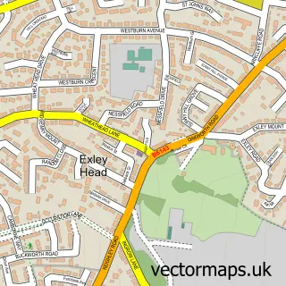
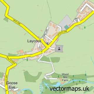
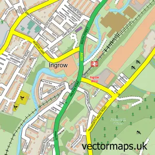
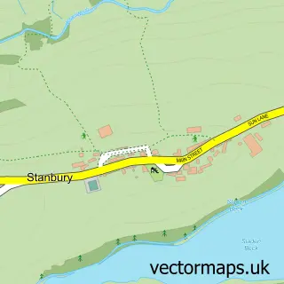
Nearby street map samples around Oakworth

More street maps in West Yorkshire
750 metre map area coverage
Boundary, postcode and point of interest information for the 750m x 750m rectangle centred on this sample map.
Boundaries containing map centre
Constituency: Keighley and Ilkley Co Const
District: Bradford District (B)
Icb: NHS West Yorkshire ICB
Parish: Keighley CP
Police Force: west yorkshire
Postcode District: BD22
Postcode Sector: BD22 7
Ward: Worth Valley Ward
Nearby boundaries intersecting sample
Postcode Sector: BD22 0
Postcode coverage
POI category counts
Hair Salon: 3
Beauty Salon: 2
Electrician: 2
Pharmacy: 2
Accommodation: 1
Advertising Agency: 1
Atms: 1
Automotive Repair: 1
Beauty And Spa: 1
Bridal Shop: 1
Sample points of interest
- John Davis Autosales
- Autoprint
- The Cooperative Food (BF) Oakworth, Oakworth
- Highfield Motors
- Matts Headroom
- Serenity Beauty and Aesthetics
- The Chill Out Zone
- Purple Mountain Designs
- Worth Valley Plumbing
- Ecospark
- Barnes John
- Oakworth Tandoori And Fast Food
Create a larger editable map of Oakworth
This sample shows only a 750 metre area. To create a larger map of Oakworth, use our map builder to choose your own coverage area, add titles and download editable SVG, PDF and PNG files.
Create a custom map of Oakworth