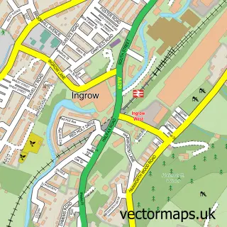
This Stanbury street map is a detailed vector street map covering a 750m x 750m area. Select a larger area to create and download your own vector street map of Stanbury.
The 750-metre map sample for Stanbury covers 50 mapped buildings and approximately 2.8 km of road detail, of which 4 named roads are named. The immediate area includes 1 school, 1 GP surgery within 2 miles and 3 pubs. The wider area around Stanbury features 1 tourism point of interest, 3 food and drink venues and 1 campsite within 2 miles. To create a larger or custom map of Stanbury, the map builder lets you define your own coverage area and download editable SVG, PDF and PNG files.
Create a larger editable map of Stanbury
Choose any area you need and generate a high-quality vector map instantly. Perfect for print, planning, design, business and personal use.

This Stanbury street map in West Yorkshire is available as downloadable SVG, PDF and PNG map files, or as a printed map for planning, business, display, education, local information and design work. You can also create a larger custom map area using the map selector.
What this Stanbury map sample shows
Stanbury lies within Haworth And Stanbury Cp parish, part of Worth Valley ward in the Bradford District (B) local authority area. The postcode geography for this area includes the BD postcode area, the BD22 postcode district and the BD22 0 postcode sector. Residents fall under the Nhs West Yorkshire Integrated Care Board for NHS services.
Local features near Stanbury
Within 2 milesAmenities and services in and around Stanbury.
Administrative and postcode information for Stanbury
The local authority covering Stanbury is Bradford District (B), within the county of West Yorkshire. The settlement lies within Worth Valley ward and Haworth And Stanbury Cp civil parish. The BD22 postcode district and BD22 0 postcode sector serve the immediate area. NHS provision in the area is delivered through Airedale Nhs Foundation Trust.
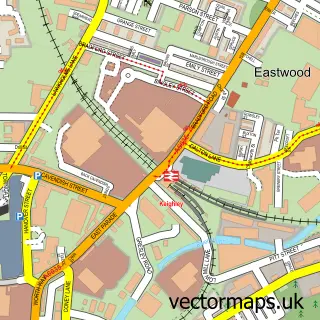
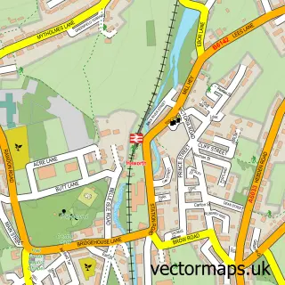
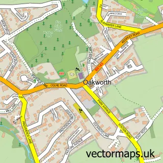
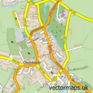
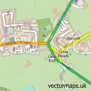
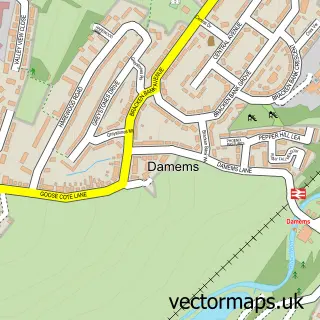
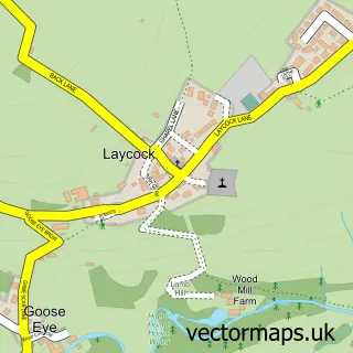
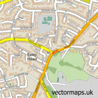
Nearby street map samples around Stanbury

More street maps in West Yorkshire
750 metre map area coverage
Boundary, postcode and point of interest information for the 750m x 750m rectangle centred on this sample map.
Boundaries containing map centre
Constituency: Keighley and Ilkley Co Const
District: Bradford District (B)
Icb: NHS West Yorkshire ICB
Parish: Haworth and Stanbury CP
Police Force: west yorkshire
Postcode District: BD22
Postcode Sector: BD22 0
Ward: Worth Valley Ward
Nearby boundaries intersecting sample
Parish: Keighley CP
Postcode coverage
POI category counts
Pub: 3
Anglican Church: 1
Corporate Office: 1
Education: 1
Elementary School: 1
Landmark And Historical Building: 1
Online Shop: 1
Visitor Center: 1
Sample points of interest
- St Gabriel's, Stanbury
- Worth Valley Publishing
- Stanbury Village School
- Stanbury Village School
- Stanbury
- Axo Leisure Ltd.
- The Friendly
- Wuthering Heights
- Wuthering Heights Inn
- Bronte Adventures In Haworth
Create a larger editable map of Stanbury
This sample shows only a 750 metre area. To create a larger map of Stanbury, use our map builder to choose your own coverage area, add titles and download editable SVG, PDF and PNG files.
Create a custom map of Stanbury