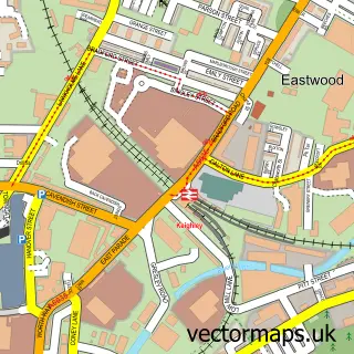
This Damems street map is a detailed vector street map covering a 750m x 750m area. Select a larger area to create and download your own vector street map of Damems.
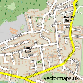
The 750-metre map sample for Damems covers 295 mapped buildings and approximately 11.2 km of road detail, of which 21 named roads are named. The immediate area includes 1 school, 1 railway station, 2 GP surgeries within 2 miles and 1 pub among other local services. The wider area around Damems features 1 tourism point of interest and 1 food and drink venue. To create a larger or custom map of Damems, the map builder lets you define your own coverage area and download editable SVG, PDF and PNG files.
Create a larger editable map of Damems
Choose any area you need and generate a high-quality vector map instantly. Perfect for print, planning, design, business and personal use.

This Damems street map in West Yorkshire is available as downloadable SVG, PDF and PNG map files, or as a printed map for planning, business, display, education, local information and design work. You can also create a larger custom map area using the map selector.
What this Damems map sample shows
Damems lies within Keighley Cp parish, part of Worth Valley ward in the Bradford District (B) local authority area. The postcode geography for this area includes the BD postcode area, the BD22 postcode district and the BD22 7 postcode sector. Residents fall under the Nhs West Yorkshire Integrated Care Board for NHS services.
Local features near Damems
Within 2 milesAmenities and services in and around Damems.
Administrative and postcode information for Damems
Damems lies within Keighley Cp parish, part of Worth Valley ward in the Bradford District (B) local authority area. The postcode geography for this area includes the BD postcode area, the BD22 postcode district and the BD22 7 postcode sector. Residents fall under the Nhs West Yorkshire Integrated Care Board for NHS services.
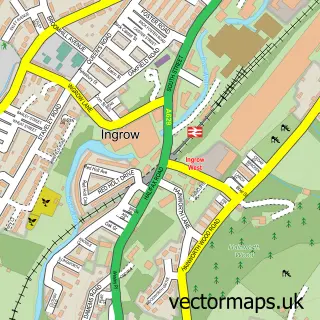
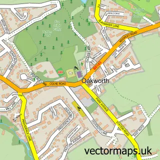
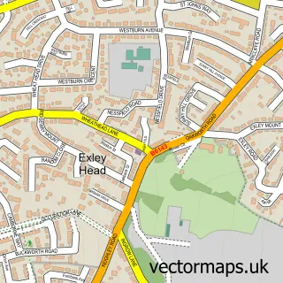
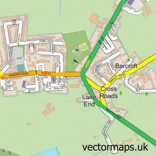
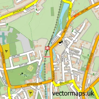
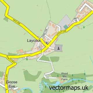
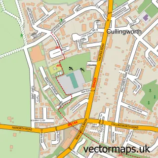
Nearby street map samples around Damems

More street maps in West Yorkshire
750 metre map area coverage
Boundary, postcode and point of interest information for the 750m x 750m rectangle centred on this sample map.
Boundaries containing map centre
Constituency: Keighley and Ilkley Co Const
District: Bradford District (B)
Icb: NHS West Yorkshire ICB
Parish: Keighley CP
Police Force: west yorkshire
Postcode District: BD22
Postcode Sector: BD22 7
Ward: Keighley West Ward
Nearby boundaries intersecting sample
Postcode District: BD21
Postcode Sector: BD21 5
Ward: Keighley East Ward, Worth Valley Ward
Postcode coverage
POI category counts
Convenience Store: 3
Bank Credit Union: 2
Post Office: 2
Professional Services: 2
Travel: 2
Auto Electrical Repair: 1
Beauty Product Supplier: 1
Beauty Salon: 1
Business To Business: 1
Caterer: 1
Sample points of interest
- Mcnallyev
- Bracken Bank
- Costa del Bracken Bank
- Cutting Edge Hair Salon
- The Beauty Quest
- Computek
- Tonys Grill
- Keighley Cinema Plaza
- Sue Belcher Community Centre
- Post Office-Bracken Bank
- Premier
- Premier
Create a larger editable map of Damems
This sample shows only a 750 metre area. To create a larger map of Damems, use our map builder to choose your own coverage area, add titles and download editable SVG, PDF and PNG files.
Create a custom map of Damems