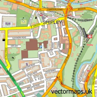
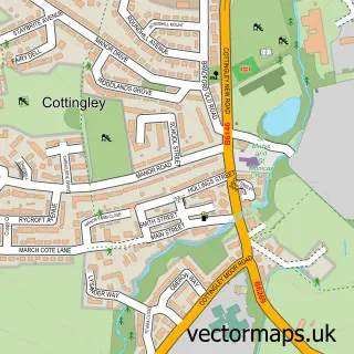
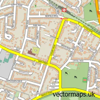
This Wrose street map is a detailed vector street map covering a 750m x 750m area. Select a larger area to create and download your own vector street map of Wrose.
The 750-metre map sample for Wrose covers 771 mapped buildings and approximately 23.0 km of road detail, of which 49 named roads are named. The immediate area includes 16 GP surgeries within 2 miles, 2 pubs and 1 MOT station, with 38 within 2 miles. The wider area around Wrose features 1 tourism point of interest, 6 food and drink venues and 1 campsite within 2 miles. To create a larger or custom map of Wrose, the map builder lets you define your own coverage area and download editable SVG, PDF and PNG files.
Create a larger editable map of Wrose
Choose any area you need and generate a high-quality vector map instantly. Perfect for print, planning, design, business and personal use.

This Wrose street map in West Yorkshire is available as downloadable SVG, PDF and PNG map files, or as a printed map for planning, business, display, education, local information and design work. You can also create a larger custom map area using the map selector.
What this Wrose map sample shows
Wrose lies within Bradford District (B) parish, part of Windhill And Wrose ward in the Bradford District (B) local authority area. The postcode geography for this area includes the BD postcode area, the BD18 postcode district and the BD18 2 postcode sector. Residents fall under the Nhs West Yorkshire Integrated Care Board for NHS services.
Local features near Wrose
Within 2 milesAmenities and services in and around Wrose.
Administrative and postcode information for Wrose
Wrose lies within Bradford District (B) parish, part of Windhill And Wrose ward in the Bradford District (B) local authority area. The postcode geography for this area includes the BD postcode area, the BD18 postcode district and the BD18 2 postcode sector. Residents fall under the Nhs West Yorkshire Integrated Care Board for NHS services.
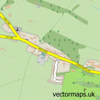
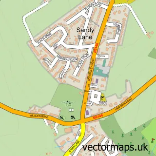
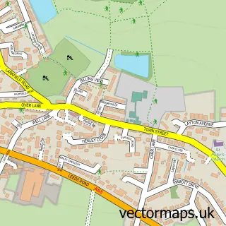
Nearby street map samples around Wrose

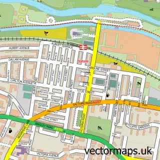
More street maps in West Yorkshire
750 metre map area coverage
Boundary, postcode and point of interest information for the 750m x 750m rectangle centred on this sample map.
Boundaries containing map centre
Constituency: Shipley Co Const
District: Bradford District (B)
Icb: NHS West Yorkshire ICB
Parish: Wrose CP
Police Force: west yorkshire
Postcode District: BD18
Postcode Sector: BD18 1
Ward: Windhill and Wrose Ward
Nearby boundaries intersecting sample
Postcode District: BD10, BD2
Postcode Sector: BD10 8, BD18 2, BD2 1
Postcode coverage
POI category counts
Beauty Salon: 3
Building Supply Store: 3
Atms: 2
Hair Salon: 2
Landscaping: 2
Pizza Restaurant: 2
Pub: 2
Restaurant: 2
Retail: 2
Shipping Center: 2
Sample points of interest
- Cute Crafts & Pet Paintings
- ATM (Post Office)
- The Cooperative Food (BF) Shipley - Wrose Road
- A C G Valeting
- ACG Valeting
- Ily's Gents Studio
- Lipo freeze clinics Yorkshire
- Oh Hello Beauty
- Stefanie King - Hair Stylist & Barber
- Coral
- A P M Plumbers
- JRR Gardens
Create a larger editable map of Wrose
This sample shows only a 750 metre area. To create a larger map of Wrose, use our map builder to choose your own coverage area, add titles and download editable SVG, PDF and PNG files.
Create a custom map of Wrose