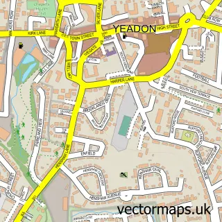
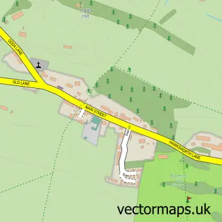
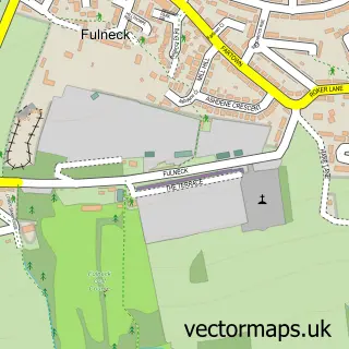
This Rawdon street map is a detailed vector street map covering a 750m x 750m area. Select a larger area to create and download your own vector street map of Rawdon.
The 750-metre map sample for Rawdon covers 352 mapped buildings and approximately 15.0 km of road detail, of which 33 named roads are named. The immediate area includes 1 school, 3 GP surgeries within 2 miles, 2 pubs and 12 MOT stations within 2 miles. The wider area around Rawdon features 2 food and drink venues. To create a larger or custom map of Rawdon, the map builder lets you define your own coverage area and download editable SVG, PDF and PNG files.
Create a larger editable map of Rawdon
Choose any area you need and generate a high-quality vector map instantly. Perfect for print, planning, design, business and personal use.

This Rawdon street map in West Yorkshire is available as downloadable SVG, PDF and PNG map files, or as a printed map for planning, business, display, education, local information and design work. You can also create a larger custom map area using the map selector.
What this Rawdon map sample shows
Rawdon lies within Rawdon Cp parish, part of Horsforth ward in the Leeds District (B) local authority area. The postcode geography for this area includes the LS postcode area, the LS19 postcode district and the LS19 6 postcode sector. Residents fall under the Nhs West Yorkshire Integrated Care Board for NHS services.
Local features near Rawdon
Within 2 milesAmenities and services in and around Rawdon.
Administrative and postcode information for Rawdon
Rawdon lies within Rawdon Cp parish, part of Horsforth ward in the Leeds District (B) local authority area. The postcode geography for this area includes the LS postcode area, the LS19 postcode district and the LS19 6 postcode sector. Residents fall under the Nhs West Yorkshire Integrated Care Board for NHS services.
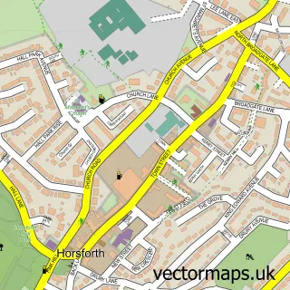
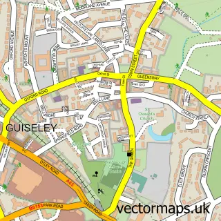
Nearby street map samples around Rawdon

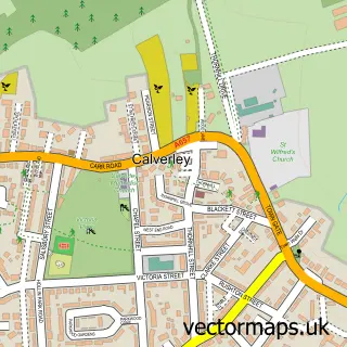
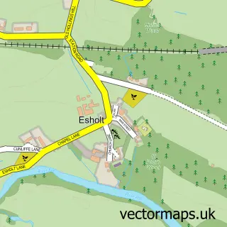
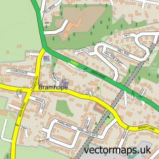
More street maps in West Yorkshire
750 metre map area coverage
Boundary, postcode and point of interest information for the 750m x 750m rectangle centred on this sample map.
Boundaries containing map centre
Constituency: Leeds North West Co Const
District: Leeds District (B)
Icb: NHS West Yorkshire ICB
Parish: Rawdon CP
Police Force: west yorkshire
Postcode District: LS19
Postcode Sector: LS19 6
Ward: Horsforth Ward
Nearby boundaries intersecting sample
Ward: Guiseley & Rawdon Ward
Postcode coverage
POI category counts
Elementary School: 3
Physical Therapy: 3
Bakery: 2
Barber: 2
Beauty Salon: 2
Butcher Shop: 2
Preschool: 2
Professional Services: 2
Pub: 2
Sports Club And League: 2
Sample points of interest
- AIMS Accountants For Business - Karen England
- St Peter's Rawdon
- Aylishbakes
- The Village Bakery
- The Rawdon Barber Shop
- The Rawdon Barber Shop
- Beauty Lab Leeds
- Nargis Ayub - Hair & Makeup Artist Leeds
- Natasha Coustol Floral Designs
- The Sewing Room
- Airedale International Air Conditioning Ltd.
- John Penny and Sons
Create a larger editable map of Rawdon
This sample shows only a 750 metre area. To create a larger map of Rawdon, use our map builder to choose your own coverage area, add titles and download editable SVG, PDF and PNG files.
Create a custom map of Rawdon