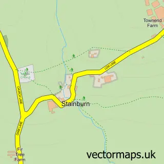
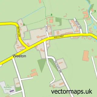
This Pool in Wharfedale street map is a detailed vector street map covering a 750m x 750m area. Select a larger area to create and download your own vector street map of Pool in Wharfedale.
The 750-metre map sample for Pool in Wharfedale covers 205 mapped buildings and approximately 10.2 km of road detail, of which 21 named roads are named. The immediate area includes 2 pubs and 1 MOT station, with 3 within 2 miles. The wider area around Pool in Wharfedale features 1 tourism point of interest, 2 food and drink venues and 1 campsite within 2 miles. To create a larger or custom map of Pool in Wharfedale, the map builder lets you define your own coverage area and download editable SVG, PDF and PNG files.
Create a larger editable map of Pool in Wharfedale
Choose any area you need and generate a high-quality vector map instantly. Perfect for print, planning, design, business and personal use.

This Pool in Wharfedale street map in West Yorkshire is available as downloadable SVG, PDF and PNG map files, or as a printed map for planning, business, display, education, local information and design work. You can also create a larger custom map area using the map selector.
What this Pool in Wharfedale map sample shows
Pool in Wharfedale lies within Pool Cp parish, part of Adel & Wharfedale ward in the Leeds District (B) local authority area. The postcode geography for this area includes the LS postcode area, the LS21 postcode district and the LS21 1 postcode sector. Residents fall under the Nhs West Yorkshire Integrated Care Board for NHS services.
Local features near Pool in Wharfedale
Within 2 milesAmenities and services in and around Pool in Wharfedale.
Administrative and postcode information for Pool in Wharfedale
The local authority covering Pool in Wharfedale is Leeds District (B), within the county of West Yorkshire. The settlement lies within Adel & Wharfedale ward and Pool Cp civil parish. The LS21 postcode district and LS21 1 postcode sector serve the immediate area. NHS provision in the area is delivered through Leeds Teaching Hospitals Nhs Trust.
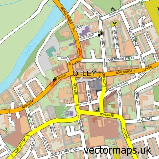
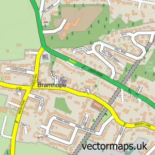
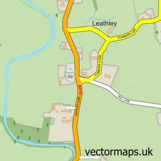
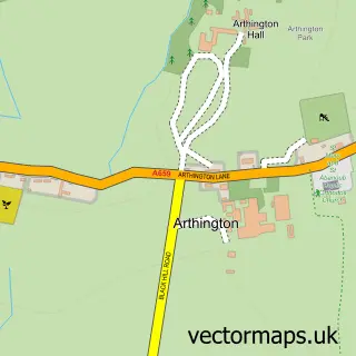
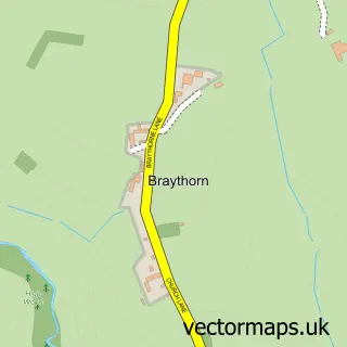
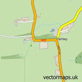
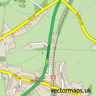
Nearby street map samples around Pool in Wharfedale

More street maps in West Yorkshire
750 metre map area coverage
Boundary, postcode and point of interest information for the 750m x 750m rectangle centred on this sample map.
Boundaries containing map centre
Constituency: Leeds North West Co Const
District: Leeds District (B)
Icb: NHS West Yorkshire ICB
Parish: Pool CP
Police Force: west yorkshire
Postcode District: LS21
Postcode Sector: LS21 1
Ward: Adel & Wharfedale Ward
Nearby boundaries intersecting sample
Constituency: Skipton and Ripon Co Const
District: North Yorkshire
Icb: NHS Humber and North Yorkshire ICB
Parish: Leathley CP
Police Force: north yorkshire
Postcode Sector: LS21 2
Postcode coverage
POI category counts
Beauty Salon: 2
Package Locker: 2
Post Office: 2
Pub: 2
Used Car Dealer: 2
Anglican Church: 1
Atms: 1
Automotive: 1
Building Supply Store: 1
Business To Business Services: 1
Sample points of interest
- Pool: St Wilfrid
- Shell Pool Bridge (795)
- Impact Motorcare
- Beautyteknorth
- Sparkle & Raine
- Your Carpet Cleaner North Leeds
- Wharfedale Recovery Services
- West View Motor Company
- Stanley Briggs Joinery
- Rainbow Centre
- 1 The Old Chapel
- Pool Dog Park
Create a larger editable map of Pool in Wharfedale
This sample shows only a 750 metre area. To create a larger map of Pool in Wharfedale, use our map builder to choose your own coverage area, add titles and download editable SVG, PDF and PNG files.
Create a custom map of Pool in Wharfedale