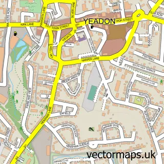
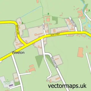
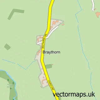
This Bramhope street map is a detailed vector street map covering a 750m x 750m area. Select a larger area to create and download your own vector street map of Bramhope.
The 750-metre map sample for Bramhope covers 430 mapped buildings and approximately 13.5 km of road detail, of which 28 named roads are named. The immediate area includes 1 school, 2 pubs and 2 MOT stations within 2 miles. The wider area around Bramhope features 1 tourism point of interest, 2 food and drink venues and 1 hotel. To create a larger or custom map of Bramhope, the map builder lets you define your own coverage area and download editable SVG, PDF and PNG files.
Create a larger editable map of Bramhope
Choose any area you need and generate a high-quality vector map instantly. Perfect for print, planning, design, business and personal use.

This Bramhope street map in West Yorkshire is available as downloadable SVG, PDF and PNG map files, or as a printed map for planning, business, display, education, local information and design work. You can also create a larger custom map area using the map selector.
What this Bramhope map sample shows
Bramhope lies within Bramhope Cp parish, part of Adel & Wharfedale ward in the Leeds District (B) local authority area. The postcode geography for this area includes the LS postcode area, the LS16 postcode district and the LS16 9 postcode sector. Residents fall under the Nhs West Yorkshire Integrated Care Board for NHS services.
Local features near Bramhope
Within 2 milesAmenities and services in and around Bramhope.
Administrative and postcode information for Bramhope
Bramhope lies within Bramhope Cp parish, part of Adel & Wharfedale ward in the Leeds District (B) local authority area. The postcode geography for this area includes the LS postcode area, the LS16 postcode district and the LS16 9 postcode sector. Residents fall under the Nhs West Yorkshire Integrated Care Board for NHS services.
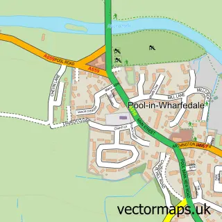
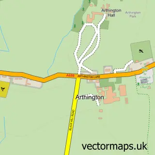
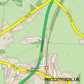
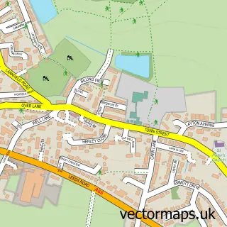
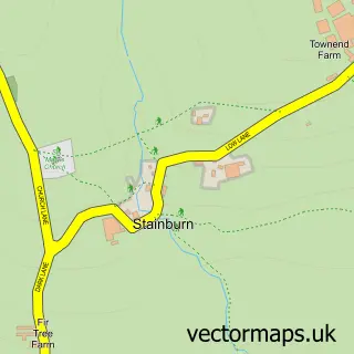
Nearby street map samples around Bramhope

More street maps in West Yorkshire
750 metre map area coverage
Boundary, postcode and point of interest information for the 750m x 750m rectangle centred on this sample map.
Boundaries containing map centre
Constituency: Leeds North West Co Const
District: Leeds District (B)
Icb: NHS West Yorkshire ICB
Parish: Bramhope CP
Police Force: west yorkshire
Postcode District: LS16
Postcode Sector: LS16 9
Ward: Adel & Wharfedale Ward
Nearby boundaries intersecting sample
Parish: Arthington CP
Postcode coverage
POI category counts
Beauty Salon: 3
Church Cathedral: 2
Flowers And Gifts Shop: 2
Gym: 2
Hair Salon: 2
Professional Services: 2
Pub: 2
Active Life: 1
Advertising Agency: 1
Airport Shuttles: 1
Sample points of interest
- Nemo Swim Leeds
- Parkers Promotional Products
- Britannia Hotel Leeds
- St Giles Bramhope
- The Village Bakery
- Richard Goodale Hairdressing
- Glow & Tonic Beauty
- Glow Up At 7
- Renew Therapies
- Chimney Tech
- Digital Tyger Ltd.
- Bramhope Methodist Church
Create a larger editable map of Bramhope
This sample shows only a 750 metre area. To create a larger map of Bramhope, use our map builder to choose your own coverage area, add titles and download editable SVG, PDF and PNG files.
Create a custom map of Bramhope