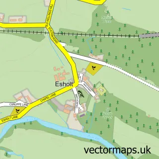
This Guiseley street map is a detailed vector street map covering a 750m x 750m area. Select a larger area to create and download your own vector street map of Guiseley.
The 750-metre map sample for Guiseley covers 414 mapped buildings and approximately 22.6 km of road detail, of which 68 named roads are named. The immediate area includes 2 schools, 1 GP surgery, with 4 within 2 miles, 5 pubs and 11 MOT stations within 2 miles. The wider area around Guiseley features 5 tourism points of interest, 21 food and drink venues and 1 campsite within 2 miles. To create a larger or custom map of Guiseley, the map builder lets you define your own coverage area and download editable SVG, PDF and PNG files.
Create a larger editable map of Guiseley
Choose any area you need and generate a high-quality vector map instantly. Perfect for print, planning, design, business and personal use.

This Guiseley street map in West Yorkshire is available as downloadable SVG, PDF and PNG map files, or as a printed map for planning, business, display, education, local information and design work. You can also create a larger custom map area using the map selector.
What this Guiseley map sample shows
Guiseley lies within Leeds District (B) parish, part of Guiseley & Rawdon ward in the Leeds District (B) local authority area. The postcode geography for this area includes the LS postcode area, the LS20 postcode district and the LS20 9 postcode sector. Residents fall under the Nhs West Yorkshire Integrated Care Board for NHS services.
Local features near Guiseley
Within 2 milesAmenities and services in and around Guiseley.
Administrative and postcode information for Guiseley
The local authority covering Guiseley is Leeds District (B), within the county of West Yorkshire. The settlement lies within Guiseley & Rawdon ward and Leeds District (B) civil parish. The LS20 postcode district and LS20 9 postcode sector serve the immediate area. NHS provision in the area is delivered through Leeds Teaching Hospitals Nhs Trust.
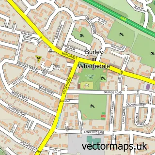
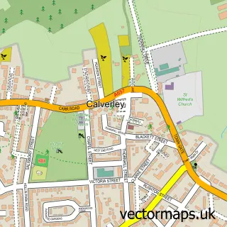
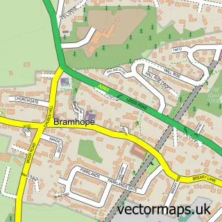
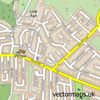
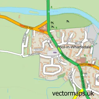
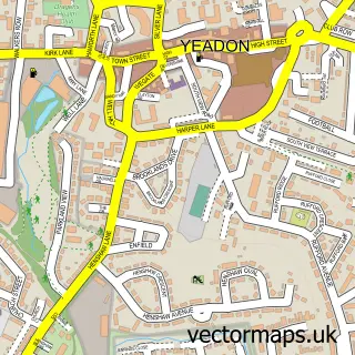
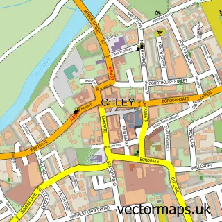
Nearby street map samples around Guiseley

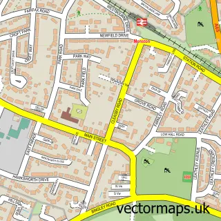
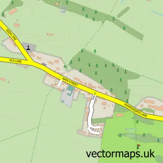
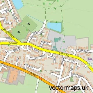
More street maps in West Yorkshire
750 metre map area coverage
Boundary, postcode and point of interest information for the 750m x 750m rectangle centred on this sample map.
Boundaries containing map centre
Constituency: Leeds North West Co Const
District: Leeds District (B)
Icb: NHS West Yorkshire ICB
Police Force: west yorkshire
Postcode District: LS20
Postcode Sector: LS20 9
Ward: Guiseley & Rawdon Ward
Nearby boundaries intersecting sample
Postcode Sector: LS20 8
Postcode coverage
POI category counts
Beauty Salon: 7
Elementary School: 6
Hair Salon: 6
Restaurant: 6
Cafe: 5
Coffee Shop: 5
Pub: 5
Real Estate Agent: 5
Bakery: 4
Barber: 4
Sample points of interest
- Sapphire Accountants
- Aireborough Swimming Club
- Signs Ahead
- Guiseley: St Oswald King & Martyr
- St Oswald's Church
- Classical Gas Guiseley
- MAS Design Consultants
- Guiseley Art Club
- Ice3dprints
- Logo That
- Mumbai Village
- Anchor Hanover - the Laureates
Create a larger editable map of Guiseley
This sample shows only a 750 metre area. To create a larger map of Guiseley, use our map builder to choose your own coverage area, add titles and download editable SVG, PDF and PNG files.
Create a custom map of Guiseley