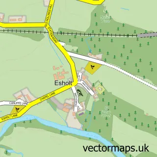
This Burley-in-Wharfedale street map is a detailed vector street map covering a 750m x 750m area. Select a larger area to create and download your own vector street map of Burley-in-Wharfedale.
The 750-metre map sample for Burley-in-Wharfedale covers 527 mapped buildings and approximately 23.4 km of road detail, of which 57 named roads are named. The immediate area includes 1 school, 1 GP surgery, 4 pubs and 2 MOT stations within 2 miles. The wider area around Burley-in-Wharfedale features 3 tourism points of interest, 8 food and drink venues and 1 campsite within 2 miles. To create a larger or custom map of Burley-in-Wharfedale, the map builder lets you define your own coverage area and download editable SVG, PDF and PNG files.
Create a larger editable map of Burley-in-Wharfedale
Choose any area you need and generate a high-quality vector map instantly. Perfect for print, planning, design, business and personal use.

This Burley-in-Wharfedale street map in West Yorkshire is available as downloadable SVG, PDF and PNG map files, or as a printed map for planning, business, display, education, local information and design work. You can also create a larger custom map area using the map selector.
What this Burley-in-Wharfedale map sample shows
Burley-in-Wharfedale lies within Burley Cp parish, part of Wharfedale ward in the Bradford District (B) local authority area. The postcode geography for this area includes the LS postcode area, the LS29 postcode district and the LS29 7 postcode sector. Residents fall under the Nhs West Yorkshire Integrated Care Board for NHS services.
Local features near Burley-in-Wharfedale
Within 2 milesAmenities and services in and around Burley-in-Wharfedale.
Administrative and postcode information for Burley-in-Wharfedale
The local authority covering Burley-in-Wharfedale is Bradford District (B), within the county of West Yorkshire. The settlement lies within Wharfedale ward and Burley Cp civil parish. The LS29 postcode district and LS29 7 postcode sector serve the immediate area. NHS provision in the area is delivered through Airedale Nhs Foundation Trust.
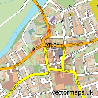
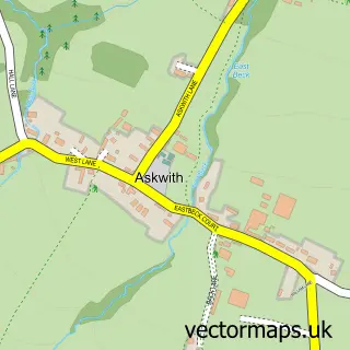
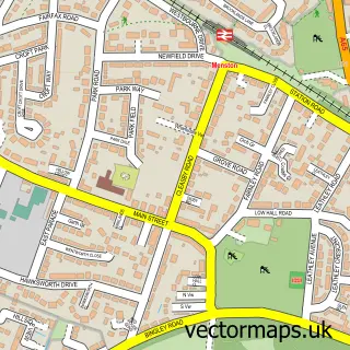
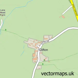
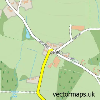
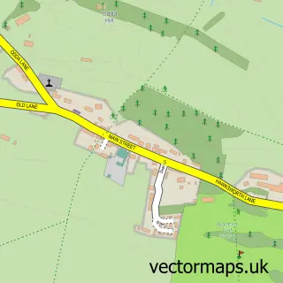
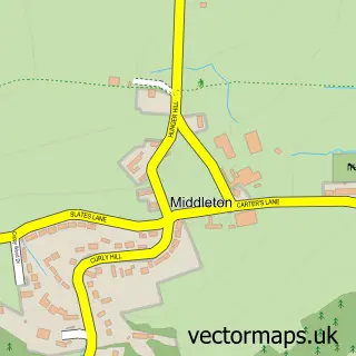
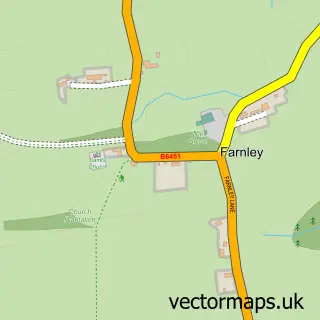
Nearby street map samples around Burley-in-Wharfedale

More street maps in West Yorkshire
750 metre map area coverage
Boundary, postcode and point of interest information for the 750m x 750m rectangle centred on this sample map.
Boundaries containing map centre
Constituency: Shipley Co Const
District: Bradford District (B)
Icb: NHS West Yorkshire ICB
Parish: Burley CP
Police Force: west yorkshire
Postcode District: LS29
Postcode Sector: LS29 7
Ward: Wharfedale Ward
Nearby boundaries intersecting sample
No additional intersecting boundaries found.
Postcode coverage
POI category counts
Beauty Salon: 5
Flowers And Gifts Shop: 4
Hair Salon: 4
Indian Restaurant: 4
Pub: 4
Beauty And Spa: 3
Church Cathedral: 3
Home Goods Store: 3
It Service And Computer Repair: 3
Professional Services: 3
Sample points of interest
- AcuBel Holistic Practice
- PEAK Physiotherapy
- Mandara
- Allison & Macrae
- Niche Design Architects
- Hanover Housing Association
- Burley Recreation Ground
- The Burley Tap
- Bond Barbering
- Burley Barbers
- Beauty on Main Street
- FACES Make Up
Create a larger editable map of Burley-in-Wharfedale
This sample shows only a 750 metre area. To create a larger map of Burley-in-Wharfedale, use our map builder to choose your own coverage area, add titles and download editable SVG, PDF and PNG files.
Create a custom map of Burley-in-Wharfedale