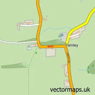
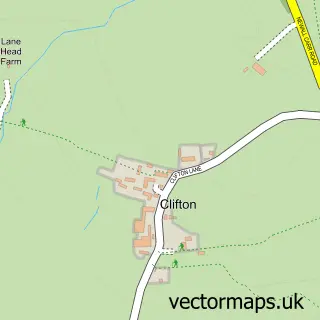
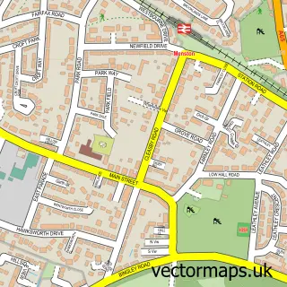
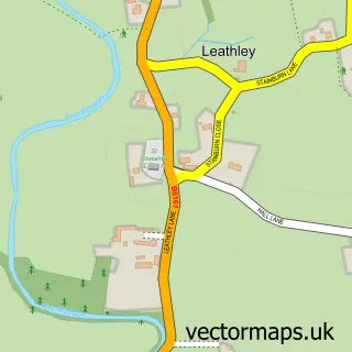
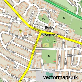
This Otley street map is a detailed vector street map covering a 750m x 750m area. Select a larger area to create and download your own vector street map of Otley.
The 750-metre map sample for Otley covers 313 mapped buildings and approximately 20.3 km of road detail, of which 59 named roads are named. The immediate area includes 1 school, 2 GP surgeries, 20 pubs and 2 MOT stations, with 6 within 2 miles. The wider area around Otley features 9 tourism points of interest, 50 food and drink venues and 1 hotel. To create a larger or custom map of Otley, the map builder lets you define your own coverage area and download editable SVG, PDF and PNG files.
Create a larger editable map of Otley
Choose any area you need and generate a high-quality vector map instantly. Perfect for print, planning, design, business and personal use.

This Otley street map in West Yorkshire is available as downloadable SVG, PDF and PNG map files, or as a printed map for planning, business, display, education, local information and design work. You can also create a larger custom map area using the map selector.
What this Otley map sample shows
Otley lies within Otley Cp parish, part of Otley & Yeadon ward in the Leeds District (B) local authority area. The postcode geography for this area includes the LS postcode area, the LS21 postcode district and the LS21 3 postcode sector. Residents fall under the Nhs West Yorkshire Integrated Care Board for NHS services.
Local features near Otley
Within 2 milesAmenities and services in and around Otley.
Administrative and postcode information for Otley
Otley lies within Otley Cp parish, part of Otley & Yeadon ward in the Leeds District (B) local authority area. The postcode geography for this area includes the LS postcode area, the LS21 postcode district and the LS21 3 postcode sector. Residents fall under the Nhs West Yorkshire Integrated Care Board for NHS services.
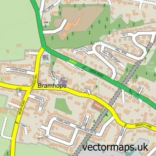
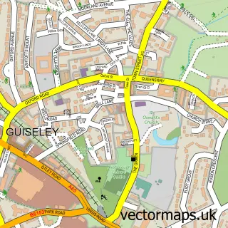
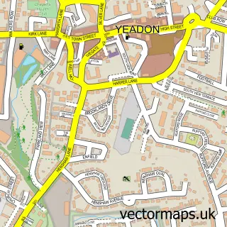
Nearby street map samples around Otley

More street maps in West Yorkshire
750 metre map area coverage
Boundary, postcode and point of interest information for the 750m x 750m rectangle centred on this sample map.
Boundaries containing map centre
Constituency: Leeds North West Co Const
District: Leeds District (B)
Icb: NHS West Yorkshire ICB
Parish: Otley CP
Police Force: west yorkshire
Postcode District: LS21
Postcode Sector: LS21 3
Ward: Otley & Yeadon Ward
Nearby boundaries intersecting sample
Postcode Sector: LS21 1, LS21 2
Postcode coverage
POI category counts
Pub: 20
Cafe: 15
Beauty Salon: 10
Coffee Shop: 10
Jewelry Store: 9
Real Estate Agent: 9
Flowers And Gifts Shop: 8
Hair Salon: 8
Church Cathedral: 7
Doctor: 7
Sample points of interest
- The Apartment Otley
- Hollings Crowe Storr LLP
- TaxAssist Accountants
- AP Acupuncture
- Kingdom Gardens Limited
- Wharfedale Tractors
- Sensei Therapy
- The Barn
- Yorkshire Trading Company
- Appliance Services
- Browns Gallery
- Picturesales
Create a larger editable map of Otley
This sample shows only a 750 metre area. To create a larger map of Otley, use our map builder to choose your own coverage area, add titles and download editable SVG, PDF and PNG files.
Create a custom map of Otley