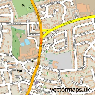
This Fulneck Moravian Settlement street map is a detailed vector street map covering a 750m x 750m area. Select a larger area to create and download your own vector street map of Fulneck Moravian Settlement.
The 750-metre map sample for Fulneck Moravian Settlement covers 226 mapped buildings and approximately 10.3 km of road detail, of which 25 named roads are named. The immediate area includes 7 GP surgeries within 2 miles and 22 MOT stations within 2 miles. The wider area around Fulneck Moravian Settlement features 1 food and drink venue. To create a larger or custom map of Fulneck Moravian Settlement, the map builder lets you define your own coverage area and download editable SVG, PDF and PNG files.
Create a larger editable map of Fulneck Moravian Settlement
Choose any area you need and generate a high-quality vector map instantly. Perfect for print, planning, design, business and personal use.

This Fulneck Moravian Settlement street map in West Yorkshire is available as downloadable SVG, PDF and PNG map files, or as a printed map for planning, business, display, education, local information and design work. You can also create a larger custom map area using the map selector.
What this Fulneck Moravian Settlement map sample shows
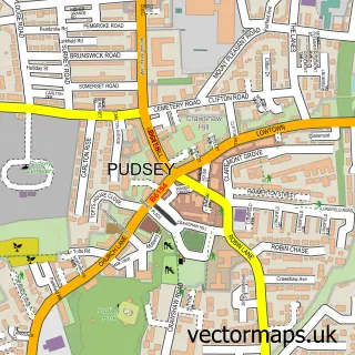
Fulneck Moravian Settlement lies within Leeds District (B) parish, part of Pudsey ward in the Leeds District (B) local authority area. The postcode geography for this area includes the LS postcode area, the LS28 postcode district and the LS28 9 postcode sector. Residents fall under the Nhs West Yorkshire Integrated Care Board for NHS services.
Local features near Fulneck Moravian Settlement
Within 2 milesAmenities and services in and around Fulneck Moravian Settlement.
Administrative and postcode information for Fulneck Moravian Settlement
Fulneck Moravian Settlement lies within Leeds District (B) parish, part of Pudsey ward in the Leeds District (B) local authority area. The postcode geography for this area includes the LS postcode area, the LS28 postcode district and the LS28 9 postcode sector. Residents fall under the Nhs West Yorkshire Integrated Care Board for NHS services.
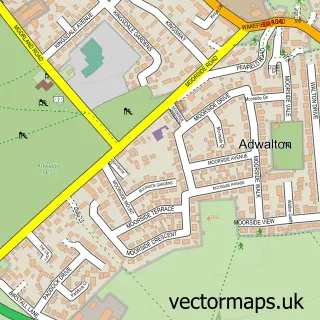
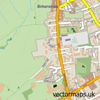
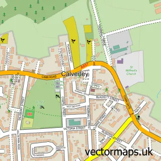
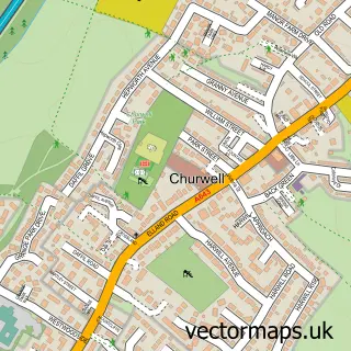
Nearby street map samples around Fulneck Moravian Settlement

More street maps in West Yorkshire
750 metre map area coverage
Boundary, postcode and point of interest information for the 750m x 750m rectangle centred on this sample map.
Boundaries containing map centre
Constituency: Leeds West and Pudsey Boro Const
District: Leeds District (B)
Icb: NHS West Yorkshire ICB
Police Force: west yorkshire
Postcode District: LS28
Postcode Sector: LS28 8
Ward: Pudsey Ward
Nearby boundaries intersecting sample
Postcode Sector: LS28 9
Postcode coverage
POI category counts
Beauty Salon: 2
Convenience Store: 2
Advertising Agency: 1
Arts And Entertainment: 1
Automotive Parts And Accessories: 1
Automotive Repair: 1
Barber: 1
British Restaurant: 1
Cafe: 1
Church Cathedral: 1
Sample points of interest
- Brand Britain
- Dr Simon Lindley
- Woodland Spares Ltd
- MTM S
- Aros Barber
- Pudsey Naturals Beauty Salon
- The Hairdeck
- Zacharys At Fulneck
- Fartown food
- Fulneck Moravian Church
- Park Grove Builders
- Premier Express
Create a larger editable map of Fulneck Moravian Settlement
This sample shows only a 750 metre area. To create a larger map of Fulneck Moravian Settlement, use our map builder to choose your own coverage area, add titles and download editable SVG, PDF and PNG files.
Create a custom map of Fulneck Moravian Settlement