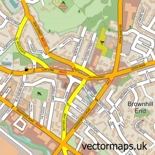
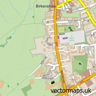
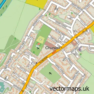
This Drighlington street map is a detailed vector street map covering a 750m x 750m area. Select a larger area to create and download your own vector street map of Drighlington.
The 750-metre map sample for Drighlington covers 635 mapped buildings and approximately 15.3 km of road detail, of which 28 named roads are named. The immediate area includes 1 GP surgery, with 4 within 2 miles, 2 pubs and 2 MOT stations, with 12 within 2 miles. The wider area around Drighlington features 3 food and drink venues. To create a larger or custom map of Drighlington, the map builder lets you define your own coverage area and download editable SVG, PDF and PNG files.
Create a larger editable map of Drighlington
Choose any area you need and generate a high-quality vector map instantly. Perfect for print, planning, design, business and personal use.

This Drighlington street map in West Yorkshire is available as downloadable SVG, PDF and PNG map files, or as a printed map for planning, business, display, education, local information and design work. You can also create a larger custom map area using the map selector.
What this Drighlington map sample shows
Drighlington lies within Drighlington Cp parish, part of Morley North ward in the Leeds District (B) local authority area. The postcode geography for this area includes the BD postcode area, the BD11 postcode district and the BD11 1 postcode sector. Residents fall under the Nhs West Yorkshire Integrated Care Board for NHS services.
Local features near Drighlington
Within 2 milesAmenities and services in and around Drighlington.
Administrative and postcode information for Drighlington
Drighlington lies within Drighlington Cp parish, part of Morley North ward in the Leeds District (B) local authority area. The postcode geography for this area includes the BD postcode area, the BD11 postcode district and the BD11 1 postcode sector. Residents fall under the Nhs West Yorkshire Integrated Care Board for NHS services.
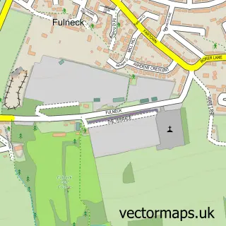
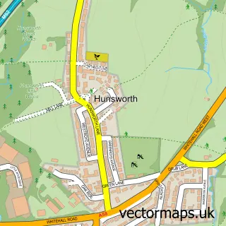
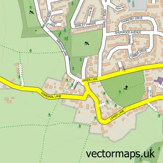
Nearby street map samples around Drighlington

More street maps in West Yorkshire
750 metre map area coverage
Boundary, postcode and point of interest information for the 750m x 750m rectangle centred on this sample map.
Boundaries containing map centre
Constituency: Leeds South West and Morley Boro Const
District: Leeds District (B)
Icb: NHS West Yorkshire ICB
Parish: Drighlington CP
Police Force: west yorkshire
Postcode District: BD11
Postcode Sector: BD11 1
Ward: Morley North Ward
Nearby boundaries intersecting sample
No additional intersecting boundaries found.
Postcode coverage
POI category counts
Chinese Restaurant: 3
Community Services Non Profits: 3
Hair Salon: 3
Professional Services: 3
Atms: 2
Bar: 2
Barber: 2
Beauty Salon: 2
Church Cathedral: 2
Contractor: 2
Sample points of interest
- Premier, Drighlinton
- The Cooperative Food (BF) Drighlington, Drighlinton
- Mortgages Only
- I.T.S. Turbo Chargers Ltd.
- ITS Turbochargers
- Drighlington MOT Centre
- Flourish. Flour ish
- BILLY bar
- Tempest constitutional Club
- Romano's
- Roberto the Barber Shop
- The Barber's Club
Create a larger editable map of Drighlington
This sample shows only a 750 metre area. To create a larger map of Drighlington, use our map builder to choose your own coverage area, add titles and download editable SVG, PDF and PNG files.
Create a custom map of Drighlington