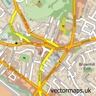
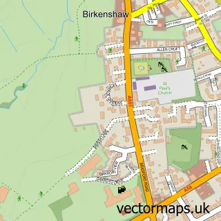
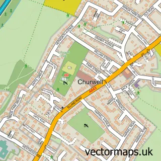
This Adwalton street map is a detailed vector street map covering a 750m x 750m area. Select a larger area to create and download your own vector street map of Adwalton.
The 750-metre map sample for Adwalton covers 570 mapped buildings and approximately 14.5 km of road detail, of which 33 named roads are named. The immediate area includes 1 school, 4 GP surgeries within 2 miles and 14 MOT stations within 2 miles. The wider area around Adwalton features 1 tourism point of interest and 1 food and drink venue. To create a larger or custom map of Adwalton, the map builder lets you define your own coverage area and download editable SVG, PDF and PNG files.
Create a larger editable map of Adwalton
Choose any area you need and generate a high-quality vector map instantly. Perfect for print, planning, design, business and personal use.

This Adwalton street map in West Yorkshire is available as downloadable SVG, PDF and PNG map files, or as a printed map for planning, business, display, education, local information and design work. You can also create a larger custom map area using the map selector.
What this Adwalton map sample shows
Adwalton lies within Drighlington Cp parish, part of Morley North ward in the Leeds District (B) local authority area. The postcode geography for this area includes the BD postcode area, the BD11 postcode district and the BD11 1 postcode sector. Residents fall under the Nhs West Yorkshire Integrated Care Board for NHS services.
Local features near Adwalton
Within 2 milesAmenities and services in and around Adwalton.
Administrative and postcode information for Adwalton
The local authority covering Adwalton is Leeds District (B), within the county of West Yorkshire. The settlement lies within Morley North ward and Drighlington Cp civil parish. The BD11 postcode district and BD11 1 postcode sector serve the immediate area. NHS provision in the area is delivered through Leeds Teaching Hospitals Nhs Trust.
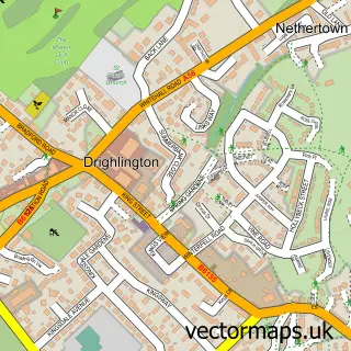
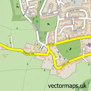
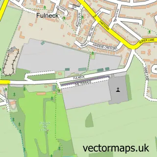
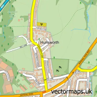
Nearby street map samples around Adwalton

More street maps in West Yorkshire
750 metre map area coverage
Boundary, postcode and point of interest information for the 750m x 750m rectangle centred on this sample map.
Boundaries containing map centre
Constituency: Leeds South West and Morley Boro Const
District: Leeds District (B)
Icb: NHS West Yorkshire ICB
Parish: Drighlington CP
Police Force: west yorkshire
Postcode District: BD11
Postcode Sector: BD11 1
Ward: Morley North Ward
Nearby boundaries intersecting sample
Constituency: Spen Valley Boro Const
District: Kirklees District (B)
Postcode District: WF17
Postcode Sector: WF17 9
Ward: Birstall and Birkenshaw Ward
Postcode coverage
POI category counts
Sports Club And League: 3
Automotive Repair: 2
Beauty Salon: 2
Building Supply Store: 2
Church Cathedral: 2
Community Services Non Profits: 2
Elementary School: 2
Hair Salon: 2
Pet Groomer: 2
Advertising Agency: 1
Sample points of interest
- Willis S M S
- V.F Productions
- Rivers of Life
- Acespeed Historic Motorsport
- David Blockley
- etyres Leeds
- Hayley Harrison Beauty Therapist & Skin Specialist
- Whitehall Hairdressers
- Integ
- Abacus Master Locksmiths
- J E Hustler
- QHSE Integrity Services
Create a larger editable map of Adwalton
This sample shows only a 750 metre area. To create a larger map of Adwalton, use our map builder to choose your own coverage area, add titles and download editable SVG, PDF and PNG files.
Create a custom map of Adwalton