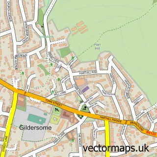
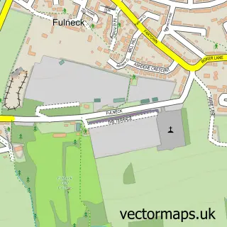
This Churwell street map is a detailed vector street map covering a 750m x 750m area. Select a larger area to create and download your own vector street map of Churwell.
The 750-metre map sample for Churwell covers 614 mapped buildings and approximately 16.8 km of road detail, of which 46 named roads are named. The immediate area includes 1 school, 9 GP surgeries within 2 miles, 4 pubs and 46 MOT stations within 2 miles. The wider area around Churwell features 2 tourism points of interest and 5 food and drink venues. To create a larger or custom map of Churwell, the map builder lets you define your own coverage area and download editable SVG, PDF and PNG files.
Create a larger editable map of Churwell
Choose any area you need and generate a high-quality vector map instantly. Perfect for print, planning, design, business and personal use.

This Churwell street map in West Yorkshire is available as downloadable SVG, PDF and PNG map files, or as a printed map for planning, business, display, education, local information and design work. You can also create a larger custom map area using the map selector.
What this Churwell map sample shows
Churwell lies within Leeds District (B) parish, part of Beeston & Holbeck ward in the Leeds District (B) local authority area. The postcode geography for this area includes the LS postcode area, the LS11 postcode district and the LS11 0 postcode sector. Residents fall under the Nhs West Yorkshire Integrated Care Board for NHS services.
Local features near Churwell
Within 2 milesAmenities and services in and around Churwell.
Administrative and postcode information for Churwell
Churwell lies within Leeds District (B) parish, part of Beeston & Holbeck ward in the Leeds District (B) local authority area. The postcode geography for this area includes the LS postcode area, the LS11 postcode district and the LS11 0 postcode sector. Residents fall under the Nhs West Yorkshire Integrated Care Board for NHS services.
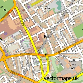
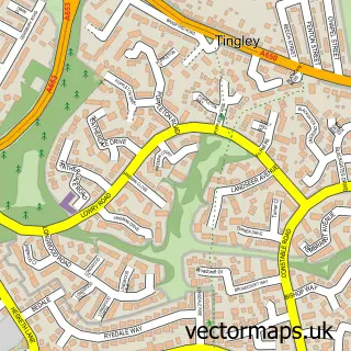
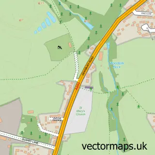
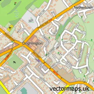
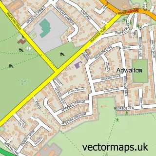
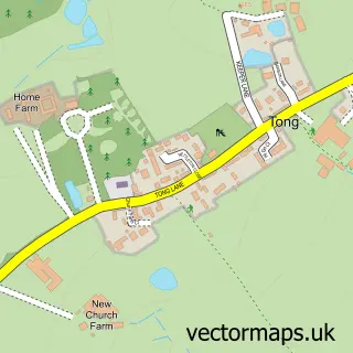
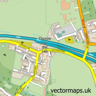
Nearby street map samples around Churwell

More street maps in West Yorkshire
750 metre map area coverage
Boundary, postcode and point of interest information for the 750m x 750m rectangle centred on this sample map.
Boundaries containing map centre
Constituency: Leeds South West and Morley Boro Const
District: Leeds District (B)
Icb: NHS West Yorkshire ICB
Parish: Morley CP
Police Force: west yorkshire
Postcode District: LS27
Postcode Sector: LS27 7
Ward: Morley North Ward
Nearby boundaries intersecting sample
Parish: Gildersome CP
Postcode coverage
POI category counts
Pub: 4
Hair Salon: 3
Beauty Salon: 2
Building Contractor: 2
Contractor: 2
Dance School: 2
Park: 2
Pharmacy: 2
Professional Services: 2
Advertising Agency: 1
Sample points of interest
- The Urban Chimp
- Your Choice Car Sales
- Auto Performance
- Tesco Bank
- Bar 27
- Corrigan's Barbers
- Elite Beauty
- Sketch hair and beauty
- A & R Building & Roofing Contractors
- A&R Building & Roofing Contractors
- Jac House Properties
- The Pizza Guy
Create a larger editable map of Churwell
This sample shows only a 750 metre area. To create a larger map of Churwell, use our map builder to choose your own coverage area, add titles and download editable SVG, PDF and PNG files.
Create a custom map of Churwell