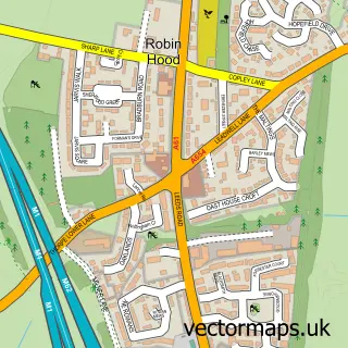
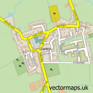
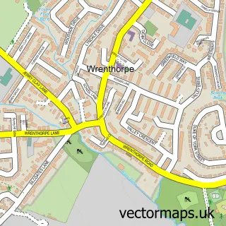
This Thorpe-on-the-Hill street map is a detailed vector street map covering a 750m x 750m area. Select a larger area to create and download your own vector street map of Thorpe-on-the-Hill.
The 750-metre map sample for Thorpe-on-the-Hill covers 152 mapped buildings and approximately 20.0 km of road detail, of which 25 named roads are named. The immediate area includes 1 school, 4 GP surgeries within 2 miles and 1 MOT station, with 8 within 2 miles. The wider area around Thorpe-on-the-Hill features 2 tourism points of interest. To create a larger or custom map of Thorpe-on-the-Hill, the map builder lets you define your own coverage area and download editable SVG, PDF and PNG files.
Create a larger editable map of Thorpe-on-the-Hill
Choose any area you need and generate a high-quality vector map instantly. Perfect for print, planning, design, business and personal use.

This Thorpe-on-the-Hill street map in West Yorkshire is available as downloadable SVG, PDF and PNG map files, or as a printed map for planning, business, display, education, local information and design work. You can also create a larger custom map area using the map selector.
What this Thorpe-on-the-Hill map sample shows
Thorpe-on-the-Hill lies within Leeds District (B) parish, part of Ardsley & Robin Hood ward in the Leeds District (B) local authority area. The postcode geography for this area includes the WF postcode area, the WF3 postcode district and the WF3 3 postcode sector. Residents fall under the Nhs West Yorkshire Integrated Care Board for NHS services.
Local features near Thorpe-on-the-Hill
Within 2 milesAmenities and services in and around Thorpe-on-the-Hill.
Administrative and postcode information for Thorpe-on-the-Hill
The local authority covering Thorpe-on-the-Hill is Leeds District (B), within the county of West Yorkshire. The settlement lies within Ardsley & Robin Hood ward and Leeds District (B) civil parish. The WF3 postcode district and WF3 3 postcode sector serve the immediate area. NHS provision in the area is delivered through Leeds Teaching Hospitals Nhs Trust.
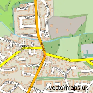
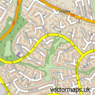
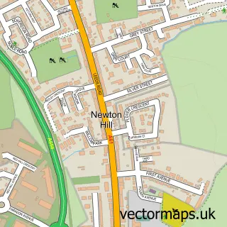
Nearby street map samples around Thorpe-on-the-Hill
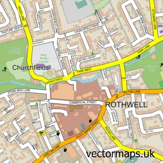

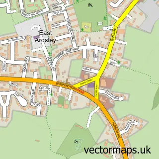
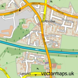
More street maps in West Yorkshire
750 metre map area coverage
Boundary, postcode and point of interest information for the 750m x 750m rectangle centred on this sample map.
Boundaries containing map centre
Constituency: Leeds South West and Morley Boro Const
District: Leeds District (B)
Icb: NHS West Yorkshire ICB
Police Force: west yorkshire
Postcode District: WF3
Postcode Sector: WF3 3
Ward: Ardsley & Robin Hood Ward
Nearby boundaries intersecting sample
Postcode Sector: WF3 2
Postcode coverage
POI category counts
Assisted Living Facility: 2
Automotive Repair: 2
Electrician: 2
Retirement Home: 2
Auto Body Shop: 1
Beauty Salon: 1
Building Supply Store: 1
Contractor: 1
Driving School: 1
Elementary School: 1
Sample points of interest
- Daisy Vale House
- Dolphin Residential Home
- Campervandals
- B R Tyre Services
- Thorpe
- Salon Seven
- Lofthouse Roofing Supplies Ltd.
- Lofthouse Roofing Supplies Ltd
- Karen Giles Driving School
- Kiwi Facilities Maintenance
- Medoria Solar
- Thorpe Primary School
Create a larger editable map of Thorpe-on-the-Hill
This sample shows only a 750 metre area. To create a larger map of Thorpe-on-the-Hill, use our map builder to choose your own coverage area, add titles and download editable SVG, PDF and PNG files.
Create a custom map of Thorpe-on-the-Hill