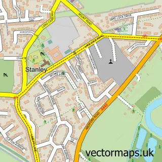
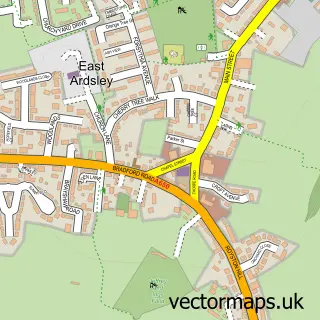
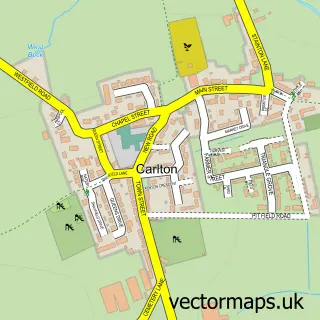
This Newton Hill street map is a detailed vector street map covering a 750m x 750m area. Select a larger area to create and download your own vector street map of Newton Hill.
The 750-metre map sample for Newton Hill covers 459 mapped buildings and approximately 14.2 km of road detail, of which 25 named roads are named. The immediate area includes 9 GP surgeries within 2 miles and 1 MOT station, with 35 within 2 miles. The wider area around Newton Hill features 3 tourism points of interest and 1 hotel. To create a larger or custom map of Newton Hill, the map builder lets you define your own coverage area and download editable SVG, PDF and PNG files.
Create a larger editable map of Newton Hill
Choose any area you need and generate a high-quality vector map instantly. Perfect for print, planning, design, business and personal use.

This Newton Hill street map in West Yorkshire is available as downloadable SVG, PDF and PNG map files, or as a printed map for planning, business, display, education, local information and design work. You can also create a larger custom map area using the map selector.
What this Newton Hill map sample shows
Newton Hill lies within Wakefield District (B) parish, part of Stanley And Outwood East ward in the Wakefield District (B) local authority area. The postcode geography for this area includes the WF postcode area, the WF1 postcode district and the WF1 3 postcode sector. Residents fall under the Nhs West Yorkshire Integrated Care Board for NHS services.
Local features near Newton Hill
Within 2 milesAmenities and services in and around Newton Hill.
Administrative and postcode information for Newton Hill
The local authority covering Newton Hill is Wakefield District (B), within the county of West Yorkshire. The settlement lies within Stanley And Outwood East ward and Wakefield District (B) civil parish. The WF1 postcode district and WF1 3 postcode sector serve the immediate area. NHS provision in the area is delivered through Mid Yorkshire Teaching Nhs Trust.
Nearby street map samples around Newton Hill

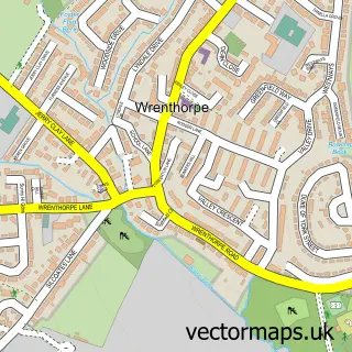
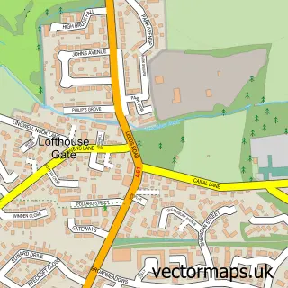
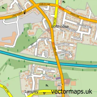
More street maps in West Yorkshire
750 metre map area coverage
Boundary, postcode and point of interest information for the 750m x 750m rectangle centred on this sample map.
Boundaries containing map centre
Constituency: Wakefield and Rothwell Boro Const
District: Wakefield District (B)
Icb: NHS West Yorkshire ICB
Police Force: west yorkshire
Postcode District: WF1
Postcode Sector: WF1 2
Ward: Stanley and Outwood East Ward
Nearby boundaries intersecting sample
Postcode Sector: WF1 3
Ward: Wrenthorpe and Outwood West Ward
Postcode coverage
POI category counts
Hair Salon: 3
Park: 3
Auto Electrical Repair: 2
Automotive Repair: 2
Beauty Salon: 2
Carpenter: 2
Contractor: 2
Driving School: 2
Food Beverage Service Distribution: 2
Information Technology Company: 2
Sample points of interest
- Aerial Express
- Cctv Installations (Aerial Express)
- AR Motor Repairs Ltd
- Canal Lane Garage
- InstaVolt Charging Station
- Blossom Bakery
- Newton Hill Barbers
- Fallons Vegan Beauty
- Beauty By Jan Hidderley
- Cream Beauty and Tanning
- D K O Joinery
- DKO Joinery
Create a larger editable map of Newton Hill
This sample shows only a 750 metre area. To create a larger map of Newton Hill, use our map builder to choose your own coverage area, add titles and download editable SVG, PDF and PNG files.
Create a custom map of Newton Hill