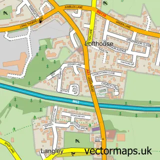
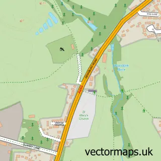
This East Ardsley street map is a detailed vector street map covering a 750m x 750m area. Select a larger area to create and download your own vector street map of East Ardsley.
The 750-metre map sample for East Ardsley covers 413 mapped buildings and approximately 10.3 km of road detail, of which 28 named roads are named. The immediate area includes 4 GP surgeries within 2 miles, 1 pub and 9 MOT stations within 2 miles. The wider area around East Ardsley features 2 food and drink venues. To create a larger or custom map of East Ardsley, the map builder lets you define your own coverage area and download editable SVG, PDF and PNG files.
Create a larger editable map of East Ardsley
Choose any area you need and generate a high-quality vector map instantly. Perfect for print, planning, design, business and personal use.

This East Ardsley street map in West Yorkshire is available as downloadable SVG, PDF and PNG map files, or as a printed map for planning, business, display, education, local information and design work. You can also create a larger custom map area using the map selector.
What this East Ardsley map sample shows
East Ardsley lies within Leeds District (B) parish, part of Ardsley & Robin Hood ward in the Leeds District (B) local authority area. The postcode geography for this area includes the WF postcode area, the WF3 postcode district and the WF3 2 postcode sector. Residents fall under the Nhs West Yorkshire Integrated Care Board for NHS services.
Local features near East Ardsley
Within 2 milesAmenities and services in and around East Ardsley.
Administrative and postcode information for East Ardsley
East Ardsley lies within Leeds District (B) parish, part of Ardsley & Robin Hood ward in the Leeds District (B) local authority area. The postcode geography for this area includes the WF postcode area, the WF3 postcode district and the WF3 2 postcode sector. Residents fall under the Nhs West Yorkshire Integrated Care Board for NHS services.
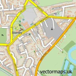
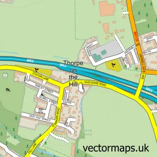
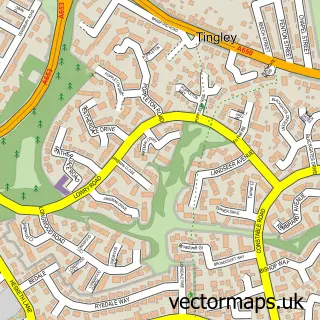
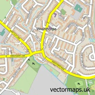
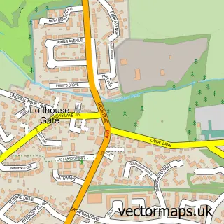
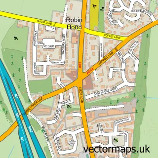
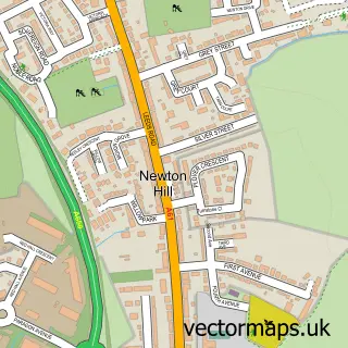
Nearby street map samples around East Ardsley

More street maps in West Yorkshire
750 metre map area coverage
Boundary, postcode and point of interest information for the 750m x 750m rectangle centred on this sample map.
Boundaries containing map centre
Constituency: Leeds South West and Morley Boro Const
District: Leeds District (B)
Icb: NHS West Yorkshire ICB
Police Force: west yorkshire
Postcode District: WF3
Postcode Sector: WF3 2
Ward: Ardsley & Robin Hood Ward
Nearby boundaries intersecting sample
No additional intersecting boundaries found.
Postcode coverage
POI category counts
Convenience Store: 4
Gas Station: 3
Professional Services: 3
Beauty Salon: 2
Bridal Shop: 2
Church Cathedral: 2
Courier And Delivery Services: 2
Employment Agencies: 2
Hair Salon: 2
Hvac Services: 2
Sample points of interest
- St Michael's Church, East Ardsley
- SK Design (Yorkshire) Ltd.
- Mak-a-home
- PayPoint
- GTA Wraps
- Tania's Barbershop
- The Guinot Salon Wakefield
- Guinot Wakefield
- The Mulberry House Beauty Salon
- The Yorkshire Bridal & Prom Shop
- Yorkshire Bridal & Prom Shop
- M Foster Electrical
Create a larger editable map of East Ardsley
This sample shows only a 750 metre area. To create a larger map of East Ardsley, use our map builder to choose your own coverage area, add titles and download editable SVG, PDF and PNG files.
Create a custom map of East Ardsley