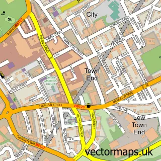
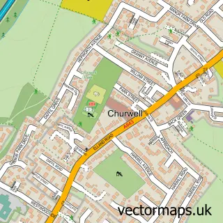
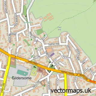
This Tingley street map is a detailed vector street map covering a 750m x 750m area. Select a larger area to create and download your own vector street map of Tingley.
The 750-metre map sample for Tingley covers 679 mapped buildings and approximately 20.8 km of road detail, of which 56 named roads are named. The immediate area includes 4 GP surgeries within 2 miles and 13 MOT stations within 2 miles. The wider area around Tingley features 1 food and drink venue. To create a larger or custom map of Tingley, the map builder lets you define your own coverage area and download editable SVG, PDF and PNG files.
Create a larger editable map of Tingley
Choose any area you need and generate a high-quality vector map instantly. Perfect for print, planning, design, business and personal use.

This Tingley street map in West Yorkshire is available as downloadable SVG, PDF and PNG map files, or as a printed map for planning, business, display, education, local information and design work. You can also create a larger custom map area using the map selector.
What this Tingley map sample shows
Tingley lies within Leeds District (B) parish, part of Ardsley & Robin Hood ward in the Leeds District (B) local authority area. The postcode geography for this area includes the WF postcode area, the WF3 postcode district and the WF3 1 postcode sector. Residents fall under the Nhs West Yorkshire Integrated Care Board for NHS services.
Local features near Tingley
Within 2 milesAmenities and services in and around Tingley.
Administrative and postcode information for Tingley
Tingley lies within Leeds District (B) parish, part of Ardsley & Robin Hood ward in the Leeds District (B) local authority area. The postcode geography for this area includes the WF postcode area, the WF3 postcode district and the WF3 1 postcode sector. Residents fall under the Nhs West Yorkshire Integrated Care Board for NHS services.
Nearby street map samples around Tingley

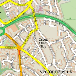
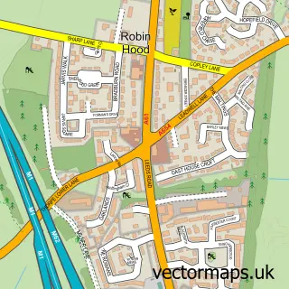
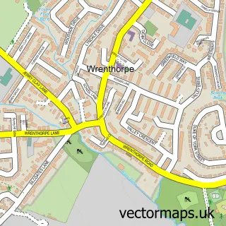
More street maps in West Yorkshire
750 metre map area coverage
Boundary, postcode and point of interest information for the 750m x 750m rectangle centred on this sample map.
Boundaries containing map centre
Constituency: Leeds South West and Morley Boro Const
District: Leeds District (B)
Icb: NHS West Yorkshire ICB
Police Force: west yorkshire
Postcode District: WF3
Postcode Sector: WF3 1
Ward: Ardsley & Robin Hood Ward
Nearby boundaries intersecting sample
Parish: Morley CP
Ward: Morley South Ward
Postcode coverage
POI category counts
Accountant: 4
Beauty Salon: 3
Bakery: 2
Business Management Services: 2
Driving School: 2
Information Technology Company: 2
Retail: 2
Software Development: 2
Web Designer: 2
Automotive Repair: 1
Sample points of interest
- AFor Accounting
- AFor Bookkeeping and Accounts
- Afor Accountants
- Rem Accounting Services
- Motion Autos Ltd
- Cakes By Sue
- Creative Cakes Leeds
- Brotox Yorkshire
- David Charles Hair and Beauty Salon
- HBT Aesthetics
- The Hair Lounge, Tingley
- The Jules Touch
Create a larger editable map of Tingley
This sample shows only a 750 metre area. To create a larger map of Tingley, use our map builder to choose your own coverage area, add titles and download editable SVG, PDF and PNG files.
Create a custom map of Tingley