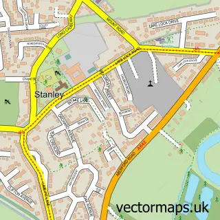
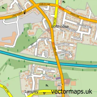
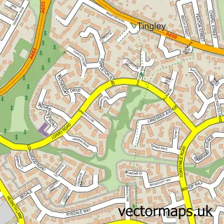
This Wrenthorpe street map is a detailed vector street map covering a 750m x 750m area. Select a larger area to create and download your own vector street map of Wrenthorpe.
The 750-metre map sample for Wrenthorpe covers 586 mapped buildings and approximately 17.9 km of road detail, of which 37 named roads are named. The immediate area includes 4 schools, 7 GP surgeries within 2 miles, 4 pubs and 33 MOT stations within 2 miles. The wider area around Wrenthorpe features 2 tourism points of interest and 4 food and drink venues. To create a larger or custom map of Wrenthorpe, the map builder lets you define your own coverage area and download editable SVG, PDF and PNG files.
Create a larger editable map of Wrenthorpe
Choose any area you need and generate a high-quality vector map instantly. Perfect for print, planning, design, business and personal use.

This Wrenthorpe street map in West Yorkshire is available as downloadable SVG, PDF and PNG map files, or as a printed map for planning, business, display, education, local information and design work. You can also create a larger custom map area using the map selector.
What this Wrenthorpe map sample shows
Wrenthorpe lies within Wakefield District (B) parish, part of Wrenthorpe And Outwood West ward in the Wakefield District (B) local authority area. The postcode geography for this area includes the WF postcode area, the WF2 postcode district and the WF2 0 postcode sector. Residents fall under the Nhs West Yorkshire Integrated Care Board for NHS services.
Local features near Wrenthorpe
Within 2 milesAmenities and services in and around Wrenthorpe.
Administrative and postcode information for Wrenthorpe
Wrenthorpe lies within Wakefield District (B) parish, part of Wrenthorpe And Outwood West ward in the Wakefield District (B) local authority area. The postcode geography for this area includes the WF postcode area, the WF2 postcode district and the WF2 0 postcode sector. Residents fall under the Nhs West Yorkshire Integrated Care Board for NHS services.
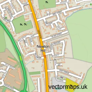
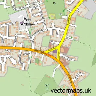
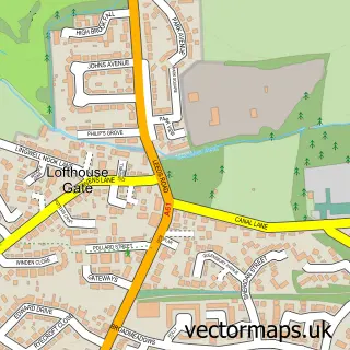
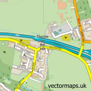
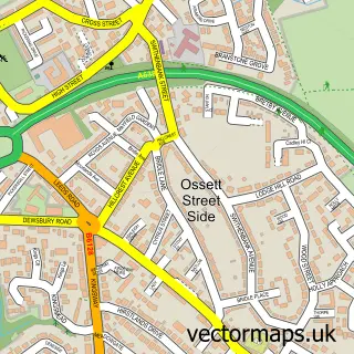
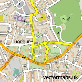
Nearby street map samples around Wrenthorpe

More street maps in West Yorkshire
750 metre map area coverage
Boundary, postcode and point of interest information for the 750m x 750m rectangle centred on this sample map.
Boundaries containing map centre
Constituency: Wakefield and Rothwell Boro Const
District: Wakefield District (B)
Icb: NHS West Yorkshire ICB
Police Force: west yorkshire
Postcode District: WF2
Postcode Sector: WF2 0
Ward: Wrenthorpe and Outwood West Ward
Nearby boundaries intersecting sample
No additional intersecting boundaries found.
Postcode coverage
POI category counts
Church Cathedral: 4
Pub: 4
Beauty Salon: 3
Elementary School: 3
Community Center: 2
Convenience Store: 2
Education: 2
Preschool: 2
Scout Hall: 2
Window Treatment Store: 2
Sample points of interest
- St Anne's Church
- Alan Geoffrey Joiners
- Extend Your House
- The Sanctuary Project
- ATM (Post Office)
- PRC Cosmetic Car Repairs
- Elite Electrical Contractors
- J W Morris Auto Services
- Wrenthorpe Barber
- Revive
- Serenity Garden Health and Beauty
- The Nail and Beauty Pod
Create a larger editable map of Wrenthorpe
This sample shows only a 750 metre area. To create a larger map of Wrenthorpe, use our map builder to choose your own coverage area, add titles and download editable SVG, PDF and PNG files.
Create a custom map of Wrenthorpe