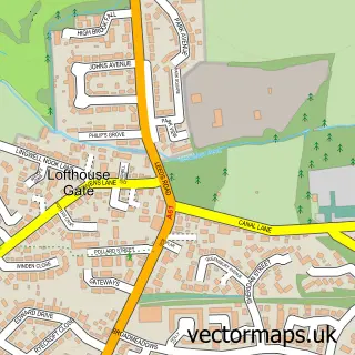
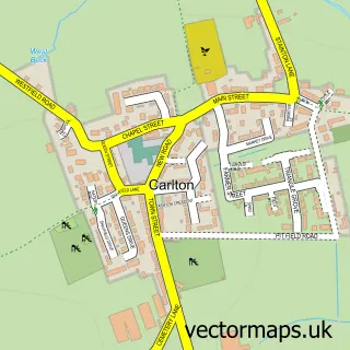
This Stanley street map is a detailed vector street map covering a 750m x 750m area. Select a larger area to create and download your own vector street map of Stanley.
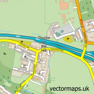
The 750-metre map sample for Stanley covers 497 mapped buildings and approximately 16.4 km of road detail, of which 32 named roads are named. The immediate area includes 1 school, 1 GP surgery, with 6 within 2 miles, 4 pubs and 11 MOT stations within 2 miles. The wider area around Stanley features 2 tourism points of interest and 6 food and drink venues. To create a larger or custom map of Stanley, the map builder lets you define your own coverage area and download editable SVG, PDF and PNG files.
Create a larger editable map of Stanley
Choose any area you need and generate a high-quality vector map instantly. Perfect for print, planning, design, business and personal use.

This Stanley street map in West Yorkshire is available as downloadable SVG, PDF and PNG map files, or as a printed map for planning, business, display, education, local information and design work. You can also create a larger custom map area using the map selector.
What this Stanley map sample shows
Stanley lies within Wakefield District (B) parish, part of Stanley And Outwood East ward in the Wakefield District (B) local authority area. The postcode geography for this area includes the WF postcode area, the WF3 postcode district and the WF3 4 postcode sector. Residents fall under the Nhs West Yorkshire Integrated Care Board for NHS services.
Local features near Stanley
Within 2 milesAmenities and services in and around Stanley.
Administrative and postcode information for Stanley
Stanley lies within Wakefield District (B) parish, part of Stanley And Outwood East ward in the Wakefield District (B) local authority area. The postcode geography for this area includes the WF postcode area, the WF3 postcode district and the WF3 4 postcode sector. Residents fall under the Nhs West Yorkshire Integrated Care Board for NHS services.
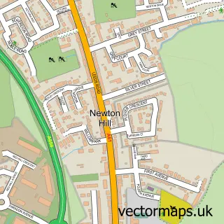
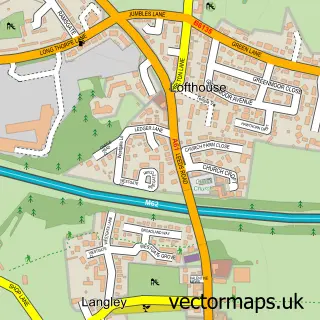
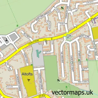
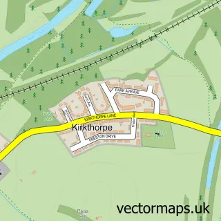
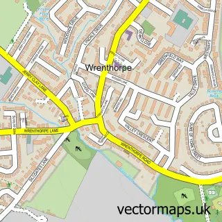
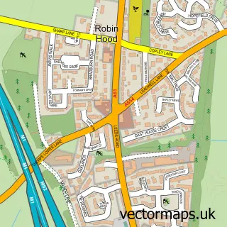
Nearby street map samples around Stanley

More street maps in West Yorkshire
750 metre map area coverage
Boundary, postcode and point of interest information for the 750m x 750m rectangle centred on this sample map.
Boundaries containing map centre
Constituency: Wakefield and Rothwell Boro Const
District: Wakefield District (B)
Icb: NHS West Yorkshire ICB
Police Force: west yorkshire
Postcode District: WF3
Postcode Sector: WF3 4
Ward: Stanley and Outwood East Ward
Nearby boundaries intersecting sample
Constituency: Pontefract, Castleford and Knottingley Co Const
Parish: Normanton and Altofts CP
Ward: Altofts and Whitwood Ward
Postcode coverage
POI category counts
Beauty Salon: 6
Barber: 4
Pub: 4
Convenience Store: 2
Doctor: 2
Financial Service: 2
Fish And Chips Restaurant: 2
Preschool: 2
Anglican Church: 1
Atms: 1
Sample points of interest
- St Peters Church and Centre, Stanley
- The Cooperative Food Lake Lock Road , Stanley
- C & M Executive Valeting
- Wakefield Wool Company
- Barber at Stanley
- Barbers At Stanley
- J & S Style
- Shannon Brown - Barbers
- Skinfinite Ltd.
- Blades
- Earth To Beauty
- Flawless Nails.Beauty.Spa
Create a larger editable map of Stanley
This sample shows only a 750 metre area. To create a larger map of Stanley, use our map builder to choose your own coverage area, add titles and download editable SVG, PDF and PNG files.
Create a custom map of Stanley