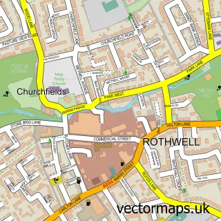
This Carlton street map is a detailed vector street map covering a 750m x 750m area. Select a larger area to create and download your own vector street map of Carlton.
The 750-metre map sample for Carlton covers 277 mapped buildings and approximately 9.2 km of road detail, of which 22 named roads are named. The immediate area includes 1 school, 4 GP surgeries within 2 miles, 1 pub and 9 MOT stations within 2 miles. The wider area around Carlton features 1 tourism point of interest, 2 food and drink venues and 1 hotel. To create a larger or custom map of Carlton, the map builder lets you define your own coverage area and download editable SVG, PDF and PNG files.
Create a larger editable map of Carlton
Choose any area you need and generate a high-quality vector map instantly. Perfect for print, planning, design, business and personal use.

This Carlton street map in West Yorkshire is available as downloadable SVG, PDF and PNG map files, or as a printed map for planning, business, display, education, local information and design work. You can also create a larger custom map area using the map selector.
What this Carlton map sample shows
Carlton lies within Leeds District (B) parish, part of Rothwell ward in the Leeds District (B) local authority area. The postcode geography for this area includes the WF postcode area, the WF3 postcode district and the WF3 3 postcode sector. Residents fall under the Nhs West Yorkshire Integrated Care Board for NHS services.
Local features near Carlton
Within 2 milesAmenities and services in and around Carlton.
Administrative and postcode information for Carlton
The local authority covering Carlton is Leeds District (B), within the county of West Yorkshire. The settlement lies within Rothwell ward and Leeds District (B) civil parish. The WF3 postcode district and WF3 3 postcode sector serve the immediate area. NHS provision in the area is delivered through Leeds Teaching Hospitals Nhs Trust.
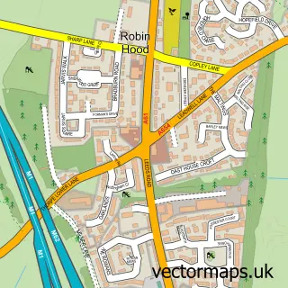
Nearby street map samples around Carlton

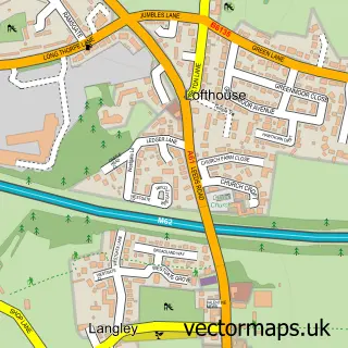
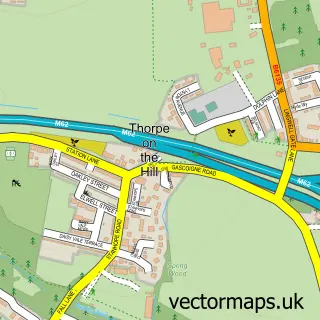
More street maps in West Yorkshire
750 metre map area coverage
Boundary, postcode and point of interest information for the 750m x 750m rectangle centred on this sample map.
Boundaries containing map centre
Constituency: Wakefield and Rothwell Boro Const
District: Leeds District (B)
Icb: NHS West Yorkshire ICB
Police Force: west yorkshire
Postcode District: WF3
Postcode Sector: WF3 3
Ward: Rothwell Ward
Nearby boundaries intersecting sample
Constituency: Leeds South West and Morley Boro Const
Postcode District: LS26
Postcode Sector: LS26 0
Ward: Ardsley & Robin Hood Ward
Postcode coverage
POI category counts
Cleaning Services: 2
Auto Electrical Repair: 1
Bakery: 1
Bar: 1
Beauty Salon: 1
Clothing Store: 1
Convenience Store: 1
Cricket Ground: 1
Electrician: 1
Electronics: 1
Sample points of interest
- Electron Electrical Services
- Greggs
- Carlton Social Club-Wakefield
- The Lash Room
- Lemon Grove Cleaning
- Wellpolished Carlton
- Direct 2 Garments
- Best-one
- Carlton Cricket Club
- Electris Electrical Contractors
- Electrician Leeds
- Carlton Primary School
Create a larger editable map of Carlton
This sample shows only a 750 metre area. To create a larger map of Carlton, use our map builder to choose your own coverage area, add titles and download editable SVG, PDF and PNG files.
Create a custom map of Carlton