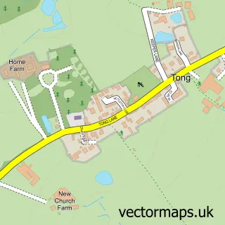
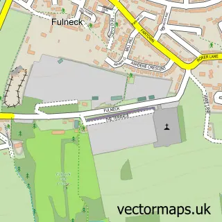
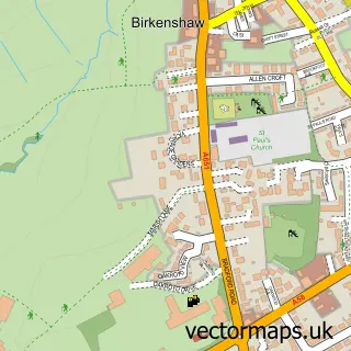
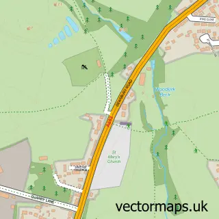
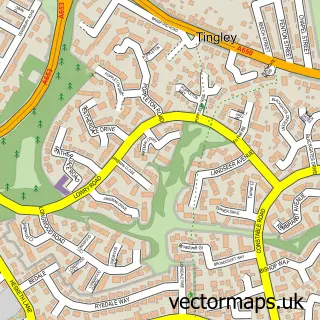
This Gildersome street map is a detailed vector street map covering a 750m x 750m area. Select a larger area to create and download your own vector street map of Gildersome.
The 750-metre map sample for Gildersome covers 505 mapped buildings and approximately 17.0 km of road detail, of which 41 named roads are named. The immediate area includes 1 school, 1 GP surgery, with 7 within 2 miles, 3 pubs and 1 MOT station, with 22 within 2 miles. The wider area around Gildersome features 2 tourism points of interest and 7 food and drink venues. To create a larger or custom map of Gildersome, the map builder lets you define your own coverage area and download editable SVG, PDF and PNG files.
Create a larger editable map of Gildersome
Choose any area you need and generate a high-quality vector map instantly. Perfect for print, planning, design, business and personal use.

This Gildersome street map in West Yorkshire is available as downloadable SVG, PDF and PNG map files, or as a printed map for planning, business, display, education, local information and design work. You can also create a larger custom map area using the map selector.
What this Gildersome map sample shows
Gildersome lies within Gildersome Cp parish, part of Morley North ward in the Leeds District (B) local authority area. The postcode geography for this area includes the LS postcode area, the LS27 postcode district and the LS27 7 postcode sector. Residents fall under the Nhs West Yorkshire Integrated Care Board for NHS services.
Local features near Gildersome
Within 2 milesAmenities and services in and around Gildersome.
Administrative and postcode information for Gildersome
Gildersome lies within Gildersome Cp parish, part of Morley North ward in the Leeds District (B) local authority area. The postcode geography for this area includes the LS postcode area, the LS27 postcode district and the LS27 7 postcode sector. Residents fall under the Nhs West Yorkshire Integrated Care Board for NHS services.
Nearby street map samples around Gildersome

More street maps in West Yorkshire
750 metre map area coverage
Boundary, postcode and point of interest information for the 750m x 750m rectangle centred on this sample map.
Boundaries containing map centre
Constituency: Leeds South West and Morley Boro Const
District: Leeds District (B)
Icb: NHS West Yorkshire ICB
Parish: Gildersome CP
Police Force: west yorkshire
Postcode District: LS27
Postcode Sector: LS27 7
Ward: Morley North Ward
Nearby boundaries intersecting sample
No additional intersecting boundaries found.
Postcode coverage
POI category counts
Beauty Salon: 4
Post Office: 4
Package Locker: 3
Pub: 3
Anglican Church: 2
Atms: 2
Church Cathedral: 2
Coffee Shop: 2
Cremation Services: 2
Elementary School: 2
Sample points of interest
- Lima Accountancy Services Ltd
- Indian Spice Takeaway
- St Peter's, Gildersome
- St Peters Church
- Gildersome Meeting Hall
- ESSO Gildersome (Rontec - CZC), Gildersome, Morley
- The Cooperative Food (BF) Gildersome, Morley
- Advance Detail Limited
- Sweet French Bite
- Tipsy Calf | Leeds
- Beauty Lounge Hair And Beauty Studio
- La Belle Health & Beauty Salon Gildersome
Create a larger editable map of Gildersome
This sample shows only a 750 metre area. To create a larger map of Gildersome, use our map builder to choose your own coverage area, add titles and download editable SVG, PDF and PNG files.
Create a custom map of Gildersome