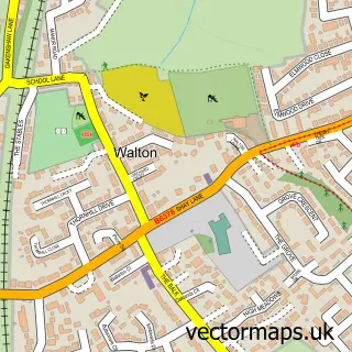
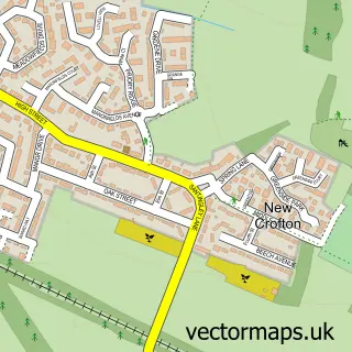
This Heath street map is a detailed vector street map covering a 750m x 750m area. Select a larger area to create and download your own vector street map of Heath.
The 750-metre map sample for Heath covers 84 mapped buildings and approximately 7.5 km of road detail, of which 1 named road are named. The immediate area includes 5 GP surgeries within 2 miles, 1 pub and 23 MOT stations within 2 miles. The wider area around Heath features 2 tourism points of interest and 1 food and drink venue. To create a larger or custom map of Heath, the map builder lets you define your own coverage area and download editable SVG, PDF and PNG files.
Create a larger editable map of Heath
Choose any area you need and generate a high-quality vector map instantly. Perfect for print, planning, design, business and personal use.

This Heath street map in West Yorkshire is available as downloadable SVG, PDF and PNG map files, or as a printed map for planning, business, display, education, local information and design work. You can also create a larger custom map area using the map selector.
What this Heath map sample shows
Heath lies within Warmfield Cum Heath Cp parish, part of Normanton ward in the Wakefield District (B) local authority area. The postcode geography for this area includes the WF postcode area, the WF1 postcode district and the WF1 5 postcode sector. Residents fall under the Nhs West Yorkshire Integrated Care Board for NHS services.
Local features near Heath
Within 2 milesAmenities and services in and around Heath.
Administrative and postcode information for Heath
Heath lies within Warmfield Cum Heath Cp parish, part of Normanton ward in the Wakefield District (B) local authority area. The postcode geography for this area includes the WF postcode area, the WF1 postcode district and the WF1 5 postcode sector. Residents fall under the Nhs West Yorkshire Integrated Care Board for NHS services.
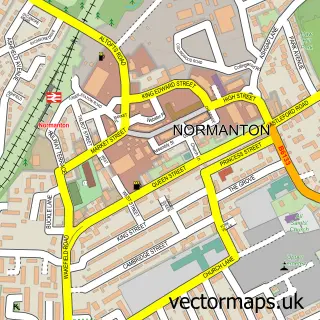
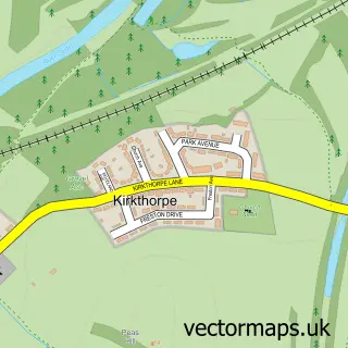
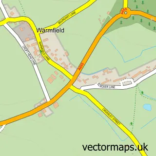
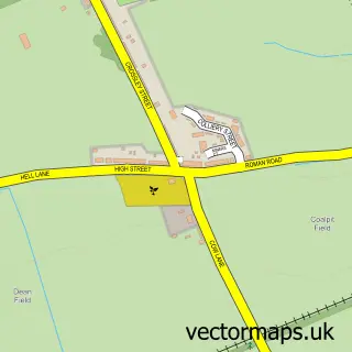
Nearby street map samples around Heath

More street maps in West Yorkshire
750 metre map area coverage
Boundary, postcode and point of interest information for the 750m x 750m rectangle centred on this sample map.
Boundaries containing map centre
Constituency: Normanton and Hemsworth Co Const
District: Wakefield District (B)
Icb: NHS West Yorkshire ICB
Parish: Warmfield cum Heath CP
Police Force: west yorkshire
Postcode District: WF1
Postcode Sector: WF1 5
Ward: Normanton Ward
Nearby boundaries intersecting sample
No additional intersecting boundaries found.
Postcode coverage
POI category counts
Corporate Office: 1
Education: 1
European Restaurant: 1
Event Photography: 1
Landmark And Historical Building: 1
Park: 1
Pub: 1
Sample points of interest
- Anthony Hodges Consulting
- S P Training Solutions
- THE Gaslight Restaurant
- Heath Productions
- Heath Hall
- Heath Common
- The Kings Arms
Create a larger editable map of Heath
This sample shows only a 750 metre area. To create a larger map of Heath, use our map builder to choose your own coverage area, add titles and download editable SVG, PDF and PNG files.
Create a custom map of Heath