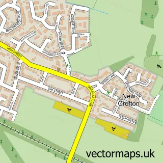
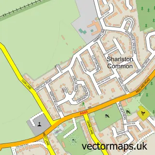
This Crofton street map is a detailed vector street map covering a 750m x 750m area. Select a larger area to create and download your own vector street map of Crofton.
The 750-metre map sample for Crofton covers 411 mapped buildings and approximately 14.7 km of road detail, of which 34 named roads are named. The immediate area includes 2 primary schools and 1 secondary school, 1 GP surgery, 1 pub and 1 MOT station, with 3 within 2 miles. The wider area around Crofton features 1 food and drink venue. To create a larger or custom map of Crofton, the map builder lets you define your own coverage area and download editable SVG, PDF and PNG files.
Create a larger editable map of Crofton
Choose any area you need and generate a high-quality vector map instantly. Perfect for print, planning, design, business and personal use.

This Crofton street map in West Yorkshire is available as downloadable SVG, PDF and PNG map files, or as a printed map for planning, business, display, education, local information and design work. You can also create a larger custom map area using the map selector.
What this Crofton map sample shows
Crofton lies within Crofton Cp parish, part of Crofton, Ryhill And Walton ward in the Wakefield District (B) local authority area. The postcode geography for this area includes the WF postcode area, the WF4 postcode district and the WF4 1 postcode sector. Residents fall under the Nhs West Yorkshire Integrated Care Board for NHS services.
Local features near Crofton
Within 2 milesAmenities and services in and around Crofton.
Administrative and postcode information for Crofton
The local authority covering Crofton is Wakefield District (B), within the county of West Yorkshire. The settlement lies within Crofton, Ryhill And Walton ward and Crofton Cp civil parish. The WF4 postcode district and WF4 1 postcode sector serve the immediate area. NHS provision in the area is delivered through Mid Yorkshire Teaching Nhs Trust.
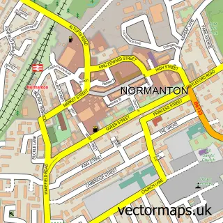
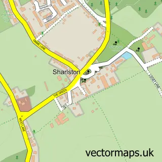
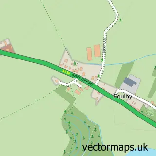
Nearby street map samples around Crofton

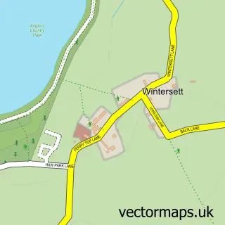
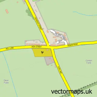
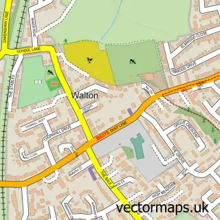
More street maps in West Yorkshire
750 metre map area coverage
Boundary, postcode and point of interest information for the 750m x 750m rectangle centred on this sample map.
Boundaries containing map centre
Constituency: Normanton and Hemsworth Co Const
District: Wakefield District (B)
Icb: NHS West Yorkshire ICB
Parish: Crofton CP
Police Force: west yorkshire
Postcode District: WF4
Postcode Sector: WF4 1
Ward: Crofton, Ryhill and Walton Ward
Nearby boundaries intersecting sample
Parish: Walton CP
Postcode coverage
POI category counts
Doctor: 4
Church Cathedral: 3
Convenience Store: 3
Education: 3
Beauty And Spa: 2
Beauty Salon: 2
Dentist: 2
Elementary School: 2
Funeral Services And Cemeteries: 2
Korean Grocery Store: 2
Sample points of interest
- PBM Arcitectural Drawings
- Premier High Street Wakefield
- Crofton Garage
- Eddie's Barbers
- Lashes by e
- Tilda Bear Beauty
- Farm Court Beauty -by Leanne
- Sylver Rose Nails & Beauty
- Wedding Dress World
- Crofton Carpets
- Jojo's Childminding Service
- All Saint's Church Crofton
Create a larger editable map of Crofton
This sample shows only a 750 metre area. To create a larger map of Crofton, use our map builder to choose your own coverage area, add titles and download editable SVG, PDF and PNG files.
Create a custom map of Crofton