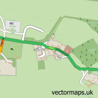
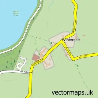
This Foulby street map is a detailed vector street map covering a 750m x 750m area. Select a larger area to create and download your own vector street map of Foulby.
The 750-metre map sample for Foulby covers 41 mapped buildings and approximately 5.4 km of road detail, of which 2 named roads are named. The immediate area includes 1 GP surgery within 2 miles and 2 MOT stations within 2 miles. The wider area around Foulby features 1 tourism point of interest. To create a larger or custom map of Foulby, the map builder lets you define your own coverage area and download editable SVG, PDF and PNG files.
Create a larger editable map of Foulby
Choose any area you need and generate a high-quality vector map instantly. Perfect for print, planning, design, business and personal use.

This Foulby street map in West Yorkshire is available as downloadable SVG, PDF and PNG map files, or as a printed map for planning, business, display, education, local information and design work. You can also create a larger custom map area using the map selector.
What this Foulby map sample shows
Foulby lies within Huntwick With Foulby And Nostell Cp parish, part of Ackworth, North Elmsall And Upton ward in the Wakefield District (B) local authority area. The postcode geography for this area includes the WF postcode area, the WF4 postcode district and the WF4 1 postcode sector. Residents fall under the Nhs West Yorkshire Integrated Care Board for NHS services.
Local features near Foulby
Within 2 milesAmenities and services in and around Foulby.
Administrative and postcode information for Foulby
The local authority covering Foulby is Wakefield District (B), within the county of West Yorkshire. The settlement lies within Ackworth, North Elmsall And Upton ward and Huntwick With Foulby And Nostell Cp civil parish. The WF4 postcode district and WF4 1 postcode sector serve the immediate area. NHS provision in the area is delivered through Mid Yorkshire Teaching Nhs Trust.
Nearby street map samples around Foulby

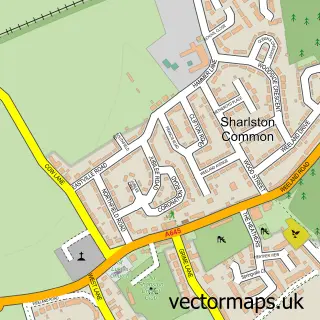
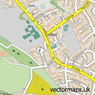
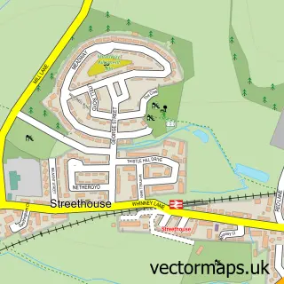
More street maps in West Yorkshire
750 metre map area coverage
Boundary, postcode and point of interest information for the 750m x 750m rectangle centred on this sample map.
Boundaries containing map centre
Constituency: Normanton and Hemsworth Co Const
District: Wakefield District (B)
Icb: NHS West Yorkshire ICB
Parish: Huntwick with Foulby and Nostell CP
Police Force: west yorkshire
Postcode District: WF4
Postcode Sector: WF4 1
Ward: Ackworth, North Elmsall and Upton Ward
Nearby boundaries intersecting sample
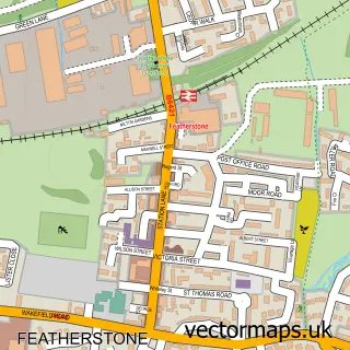
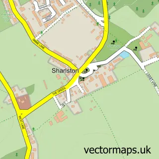
Parish: Sharlston CP
Ward: Featherstone Ward
Postcode coverage
POI category counts
Ambulance And Ems Services: 1
Asian Fusion Restaurant: 1
Building Supply Store: 1
Gardener: 1
Holiday Rental Home: 1
Indian Restaurant: 1
Landmark And Historical Building: 1
Landscaping: 1
Pest Control Service: 1
Sample points of interest
- Yorkshire Air Ambulance Nostell Air Support Unit
- Arkaan's Indian Restaurant
- Wakefield Lawncare & Garden Services
- S & D Landscapes
- Inspire Leisure
- Khaans Restaurant
- Foulby
- S & D Landscapes
- Greenacres Vermin Control
Create a larger editable map of Foulby
This sample shows only a 750 metre area. To create a larger map of Foulby, use our map builder to choose your own coverage area, add titles and download editable SVG, PDF and PNG files.
Create a custom map of Foulby