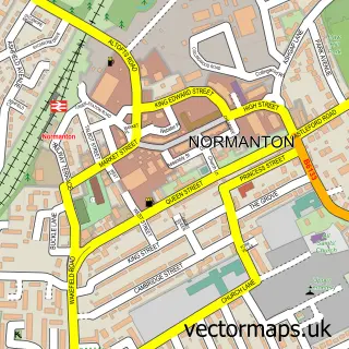
This Streethouse street map is a detailed vector street map covering a 750m x 750m area. Select a larger area to create and download your own vector street map of Streethouse.
The 750-metre map sample for Streethouse covers 246 mapped buildings and approximately 12.1 km of road detail, of which 18 named roads are named. The immediate area includes 1 school, 1 railway station, 5 GP surgeries within 2 miles and 11 MOT stations within 2 miles. To create a larger or custom map of Streethouse, the map builder lets you define your own coverage area and download editable SVG, PDF and PNG files.
Create a larger editable map of Streethouse
Choose any area you need and generate a high-quality vector map instantly. Perfect for print, planning, design, business and personal use.

This Streethouse street map in West Yorkshire is available as downloadable SVG, PDF and PNG map files, or as a printed map for planning, business, display, education, local information and design work. You can also create a larger custom map area using the map selector.
What this Streethouse map sample shows
Streethouse lies within Sharlston Cp parish, part of Featherstone ward in the Wakefield District (B) local authority area. The postcode geography for this area includes the WF postcode area, the WF4 postcode district and the WF4 1 postcode sector. Residents fall under the Nhs West Yorkshire Integrated Care Board for NHS services.
Local features near Streethouse
Within 2 milesAmenities and services in and around Streethouse.
Administrative and postcode information for Streethouse
The local authority covering Streethouse is Wakefield District (B), within the county of West Yorkshire. The settlement lies within Featherstone ward and Sharlston Cp civil parish. The WF4 postcode district and WF4 1 postcode sector serve the immediate area. NHS provision in the area is delivered through Mid Yorkshire Teaching Nhs Trust.
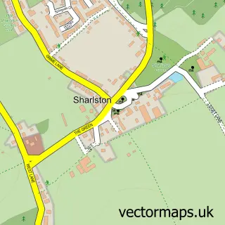
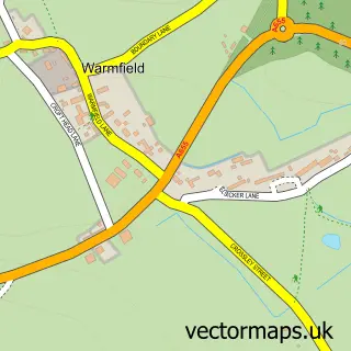
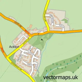
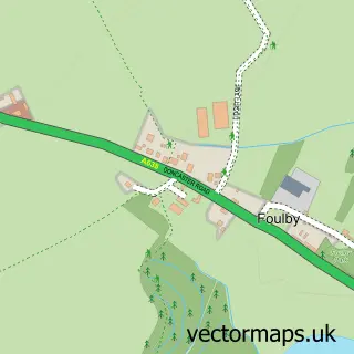
Nearby street map samples around Streethouse

More street maps in West Yorkshire
750 metre map area coverage
Boundary, postcode and point of interest information for the 750m x 750m rectangle centred on this sample map.
Boundaries containing map centre
Constituency: Normanton and Hemsworth Co Const
District: Wakefield District (B)
Icb: NHS West Yorkshire ICB
Parish: Featherstone CP
Police Force: west yorkshire
Postcode District: WF7
Postcode Sector: WF7 6
Ward: Featherstone Ward
Nearby boundaries intersecting sample
Parish: Sharlston CP
Postcode District: WF4
Postcode Sector: WF4 1
Postcode coverage
POI category counts
Assisted Living Facility: 3
Convenience Store: 3
Elementary School: 3
Home Security: 2
Train Station: 2
Arts And Crafts: 1
Beach: 1
Beauty Salon: 1
Church Cathedral: 1
Cricket Ground: 1
Sample points of interest
- Nats creative mind
- Sunnyfield
- Whinney Lane Bungalows Independent Living Scheme
- Whinney Lane Sheltered Housing
- Lido Knaresborough
- HALO hair extensions & beauty
- Streethouse Methodist Church
- One Stop
- Premier Streethouse Convenience Store
- Streethouse Daily News
- Streethouse Cricket Club
- Post Office Travel Money
Create a larger editable map of Streethouse
This sample shows only a 750 metre area. To create a larger map of Streethouse, use our map builder to choose your own coverage area, add titles and download editable SVG, PDF and PNG files.
Create a custom map of Streethouse