Vector Maps logo
Home Why it works Popular maps Districts Samples Customizer Create Your Map
VectorMaps.uk
Home Popular maps Districts Samples Customizer Create Your Map Privacy Disclaimer
Home / UK Maps / West Yorkshire / Snydale Map

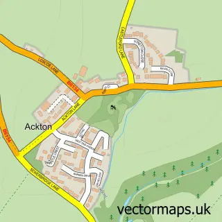
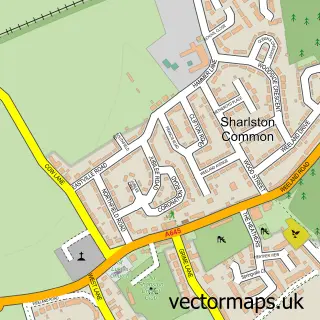
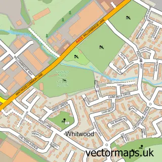
This Snydale street map is a detailed vector street map covering a 750m x 750m area. Select a larger area to create and download your own vector street map of Snydale.

Snydale is a village in West Yorkshire, in the Yorkshire And The Humber of England. Historically, the area formed part of Yorkshire. The settlement falls within the Hemsworth parliamentary constituency. It is served by the WF7 postcode district, with WF7

The 750-metre map sample for Snydale covers 91 mapped buildings and approximately 5.7 km of road detail, of which 2 named roads are named. The immediate area includes 4 GP surgeries within 2 miles and 9 MOT stations within 2 miles. To create a larger or custom map of Snydale, the map builder lets you define your own coverage area and download editable SVG, PDF and PNG files.

91Buildings
5.74 kmRoads
2Named roads
16,108Residents within 2 miles
Create your own

Create a larger editable map of Snydale

Choose any area you need and generate a high-quality vector map instantly. Perfect for print, planning, design, business and personal use.

Choose any location
Editable SVG files
Any size up to A0
PDF, PNG & more
Instant download
High quality guaranteed
Create My Custom Map
Secure, private & no credit card required
Snydale Vector Street Map
750m Sample
Snydale vector street map sample showing roads, buildings and local features in a 750 metre preview area
Buy Snydale Map Print from £12.95 Buy Snydale Digital Map from £6

This Snydale street map in West Yorkshire is available as downloadable SVG, PDF and PNG map files, or as a printed map for planning, business, display, education, local information and design work. You can also create a larger custom map area using the map selector.

What this Snydale map sample shows

Snydale lies within Featherstone Cp parish, part of Featherstone ward in the Wakefield District (B) local authority area. The postcode geography for this area includes the WF postcode area, the WF7 postcode district and the WF7 6 postcode sector. Residents fall under the Nhs West Yorkshire Integrated Care Board for NHS services.

Local features near Snydale

Within 2 miles

Amenities and services in and around Snydale.

4 GP surgeries within 2 miles
9 MOT stations within 2 miles

Counts are approximate and based on publicly available data.

Administrative and postcode information for Snydale

Snydale lies within Featherstone Cp parish, part of Featherstone ward in the Wakefield District (B) local authority area. The postcode geography for this area includes the WF postcode area, the WF7 postcode district and the WF7 6 postcode sector. Residents fall under the Nhs West Yorkshire Integrated Care Board for NHS services.

Parish Featherstone CP
Ward Featherstone
District / local authority Wakefield District (B)
County West Yorkshire
Historic county Yorkshire
Postcode district WF7
Postcode sector WF7 6
Parliamentary constituency Hemsworth
Region Yorkshire and the Humber
Country England

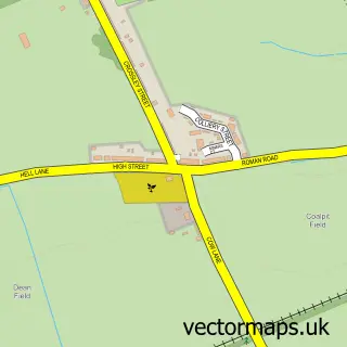
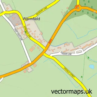
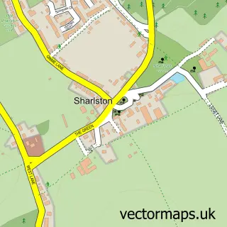
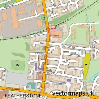
Nearby street map samples around Snydale

Street map sample of Normanton, West Yorkshire Normanton Town - West Yorkshire - 1.4 miles Street map sample of Wakefield, West Yorkshire Wakefield City - West Yorkshire - 4.3 miles Street map sample of Ackton, West Yorkshire Ackton Village - West Yorkshire - 0.7 miles Street map sample of Streethouse, West Yorkshire Streethouse Village - West Yorkshire - 0.8 miles Street map sample of North Featherstone, West Yorkshire North Featherstone Village - West Yorkshire - 1.4 miles Street map sample of Sharlston Common, West Yorkshire Sharlston Common Village - West Yorkshire - 1.5 miles Street map sample of New Sharlston, West Yorkshire New Sharlston Village - West Yorkshire - 1.6 miles Street map sample of Warmfield, West Yorkshire Warmfield Village - West Yorkshire - 1.7 miles Street map sample of Sharlston, West Yorkshire Sharlston Village - West Yorkshire - 1.7 miles Street map sample of Whitwood, West Yorkshire Whitwood Village - West Yorkshire - 2.0 miles

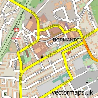
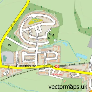
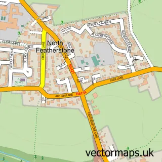
More street maps in West Yorkshire

Street map sample of Ackton, West Yorkshire Ackton Village - 0.7 miles Street map sample of Streethouse, West Yorkshire Streethouse Village - 0.8 miles Street map sample of North Featherstone, West Yorkshire North Featherstone Village - 1.4 miles Street map sample of Normanton, West Yorkshire Normanton Town - 1.4 miles Street map sample of Featherstone, West Yorkshire Featherstone Town - 1.5 miles

750 metre map area coverage

Boundary, postcode and point of interest information for the 750m x 750m rectangle centred on this sample map.

Boundaries containing map centre

Constituency: Normanton and Hemsworth Co Const

District: Wakefield District (B)

Icb: NHS West Yorkshire ICB

Parish: Featherstone CP

Police Force: west yorkshire

Postcode District: WF7

Postcode Sector: WF7 6

Ward: Featherstone Ward

Nearby boundaries intersecting sample

No additional intersecting boundaries found.

Postcode coverage

WF7 WF7 6

POI category counts

Accommodation: 2

Acupuncture: 1

Beer Bar: 1

Dog Walkers: 1

Retirement Home: 1

Sporting Goods: 1

Sample points of interest

  • Old Syndale Accommodation
  • Warmest Welcome Accommodation
  • Breathe and Bloom Holistics Acupuncture
  • The Cross Keys Beer Bar
  • Wakefield Dog Walker Dog Walkers
  • Snydale Care Home Retirement Home
  • Kruger Saddlery Sporting Goods

Create a larger editable map of Snydale

This sample shows only a 750 metre area. To create a larger map of Snydale, use our map builder to choose your own coverage area, add titles and download editable SVG, PDF and PNG files.

Create a custom map of Snydale

Phone 01751 473136 | Copyright Vectormaps.uk 2026

Samples Customizer Privacy Disclaimer
Snydale Vector Street Map
Snydale enlarged street map sample showing a 750 metre preview area