Vector Maps logo
Home Why it works Popular maps Districts Samples Customizer Create Your Map
VectorMaps.uk
Home Popular maps Districts Samples Customizer Create Your Map Privacy Disclaimer
Home / UK Maps / West Yorkshire / Whitwood Map

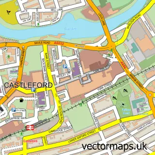
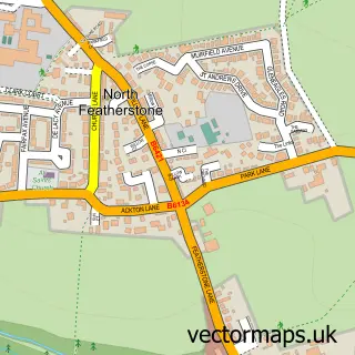
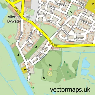
This Whitwood street map is a detailed vector street map covering a 750m x 750m area. Select a larger area to create and download your own vector street map of Whitwood.

Whitwood is a village in West Yorkshire, in the Yorkshire And The Humber of England. Historically, the area formed part of Yorkshire. The settlement falls within the Normanton, Pontefract And Castleford parliamentary constituency. It is served by the WF10

The 750-metre map sample for Whitwood covers 456 mapped buildings and approximately 15.4 km of road detail, of which 40 named roads are named. The immediate area includes 5 GP surgeries within 2 miles, 1 pub and 1 MOT station, with 19 within 2 miles. The wider area around Whitwood features 1 tourism point of interest and 5 food and drink venues. To create a larger or custom map of Whitwood, the map builder lets you define your own coverage area and download editable SVG, PDF and PNG files.

456Buildings
15.42 kmRoads
40Named roads
19,872Residents within 2 miles
Create your own

Create a larger editable map of Whitwood

Choose any area you need and generate a high-quality vector map instantly. Perfect for print, planning, design, business and personal use.

Choose any location
Editable SVG files
Any size up to A0
PDF, PNG & more
Instant download
High quality guaranteed
Create My Custom Map
Secure, private & no credit card required
Whitwood Vector Street Map
750m Sample
Whitwood vector street map sample showing roads, buildings and local features in a 750 metre preview area
Buy Whitwood Map Print from £12.95 Buy Whitwood Digital Map from £6

This Whitwood street map in West Yorkshire is available as downloadable SVG, PDF and PNG map files, or as a printed map for planning, business, display, education, local information and design work. You can also create a larger custom map area using the map selector.

What this Whitwood map sample shows

Whitwood lies within Wakefield District (B) parish, part of Altofts And Whitwood ward in the Wakefield District (B) local authority area. The postcode geography for this area includes the WF postcode area, the WF10 postcode district and the WF10 5 postcode sector. Residents fall under the Nhs West Yorkshire Integrated Care Board for NHS services.

Local features near Whitwood

Within 2 miles

Amenities and services in and around Whitwood.

5 GP surgeries within 2 miles
1 MOT stations 19 within 2 miles
1 Tourism & leisure
5 Food & drink
1 Pubs
7 Vehicle services

Counts are approximate and based on publicly available data.

Administrative and postcode information for Whitwood

Whitwood lies within Wakefield District (B) parish, part of Altofts And Whitwood ward in the Wakefield District (B) local authority area. The postcode geography for this area includes the WF postcode area, the WF10 postcode district and the WF10 5 postcode sector. Residents fall under the Nhs West Yorkshire Integrated Care Board for NHS services.

Parish WAKEFIELD DISTRICT (B)
Ward Altofts and Whitwood
District / local authority Wakefield District (B)
County West Yorkshire
Historic county Yorkshire
Postcode district WF10
Postcode sector WF10 5
Parliamentary constituency Normanton, Pontefract and Castleford
Region Yorkshire and the Humber
Country England

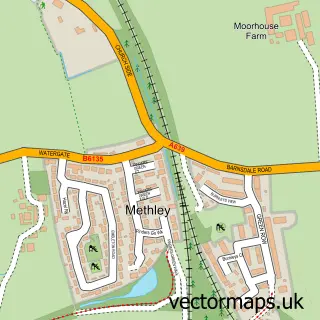
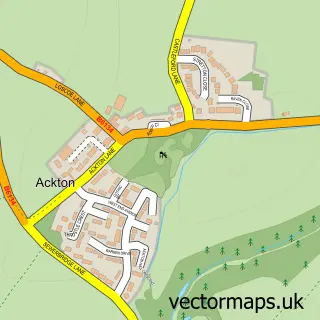
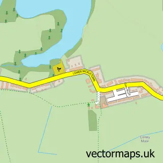
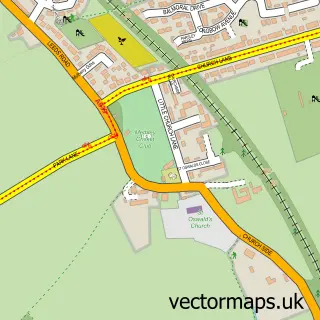
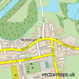
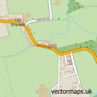
Nearby street map samples around Whitwood

Street map sample of Castleford, West Yorkshire Castleford Town - West Yorkshire - 1.4 miles Street map sample of Wakefield, West Yorkshire Wakefield City - West Yorkshire - 5.2 miles Street map sample of Methley Junction, West Yorkshire Methley Junction Village - West Yorkshire - 1.4 miles Street map sample of Ackton, West Yorkshire Ackton Village - West Yorkshire - 1.6 miles Street map sample of Lower Mickletown, West Yorkshire Lower Mickletown Village - West Yorkshire - 1.7 miles Street map sample of North Featherstone, West Yorkshire North Featherstone Village - West Yorkshire - 1.7 miles Street map sample of Methley, West Yorkshire Methley Village - West Yorkshire - 1.9 miles Street map sample of Mickletown, West Yorkshire Mickletown Village - West Yorkshire - 1.9 miles Street map sample of Snydale, West Yorkshire Snydale Village - West Yorkshire - 2.0 miles Street map sample of Allerton Bywater, West Yorkshire Allerton Bywater Village - West Yorkshire - 2.1 miles

More street maps in West Yorkshire

Street map sample of Methley Junction, West Yorkshire Methley Junction Village - 1.4 miles Street map sample of Castleford, West Yorkshire Castleford Town - 1.4 miles Street map sample of Ackton, West Yorkshire Ackton Village - 1.6 miles Street map sample of Lower Mickletown, West Yorkshire Lower Mickletown Village - 1.7 miles Street map sample of North Featherstone, West Yorkshire North Featherstone Village - 1.7 miles

750 metre map area coverage

Boundary, postcode and point of interest information for the 750m x 750m rectangle centred on this sample map.

Boundaries containing map centre

Constituency: Pontefract, Castleford and Knottingley Co Const

District: Wakefield District (B)

Icb: NHS West Yorkshire ICB

Police Force: west yorkshire

Postcode District: WF10

Postcode Sector: WF10 5

Ward: Altofts and Whitwood Ward

Nearby boundaries intersecting sample

No additional intersecting boundaries found.

Postcode coverage

WF10 WF10 5

POI category counts

Retail: 6

Beauty Salon: 4

Building Supply Store: 4

Gas Station: 4

Automotive Repair: 3

Convenience Store: 3

Professional Services: 3

Automotive Parts And Accessories: 2

Coffee Shop: 2

Dance School: 2

Sample points of interest

  • Castleford RUFC Amateur Sports Team
  • Diggerland Yorkshire Amusement Park
  • MFG - Castleford (MRH), Whitwood Atms
  • Imexpart Ltd Automotive Parts And Accessories
  • Imexpart Ltd. Automotive Parts And Accessories
  • ATS Euromaster Automotive Repair
  • B&D Autos Automotive Repair
  • Drysk Autos Automotive Repair
  • 42 the Bakehouse Bakery
  • Blossoms Hair Salon Beauty Salon
  • CUTEicles Beauty Salon
  • Mary Wheatley Skin Clinic Beauty Salon

Create a larger editable map of Whitwood

This sample shows only a 750 metre area. To create a larger map of Whitwood, use our map builder to choose your own coverage area, add titles and download editable SVG, PDF and PNG files.

Create a custom map of Whitwood

Phone 01751 473136 | Copyright Vectormaps.uk 2026

Samples Customizer Privacy Disclaimer
Whitwood Vector Street Map
Whitwood enlarged street map sample showing a 750 metre preview area