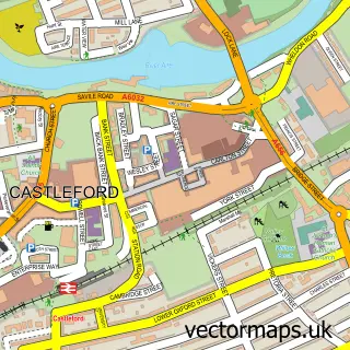
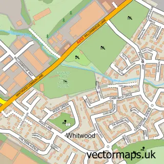
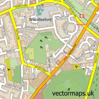
This Methley Junction street map is a detailed vector street map covering a 750m x 750m area. Select a larger area to create and download your own vector street map of Methley Junction.
The 750-metre map sample for Methley Junction covers 218 mapped buildings and approximately 10.5 km of road detail, of which 14 named roads are named. The immediate area includes 4 GP surgeries within 2 miles and 8 MOT stations within 2 miles. To create a larger or custom map of Methley Junction, the map builder lets you define your own coverage area and download editable SVG, PDF and PNG files.
Create a larger editable map of Methley Junction
Choose any area you need and generate a high-quality vector map instantly. Perfect for print, planning, design, business and personal use.

This Methley Junction street map in West Yorkshire is available as downloadable SVG, PDF and PNG map files, or as a printed map for planning, business, display, education, local information and design work. You can also create a larger custom map area using the map selector.
What this Methley Junction map sample shows
Methley Junction lies within Leeds District (B) parish, part of Kippax & Methley ward in the Leeds District (B) local authority area. The postcode geography for this area includes the LS postcode area, the LS26 postcode district and the LS26 9 postcode sector. Residents fall under the Nhs West Yorkshire Integrated Care Board for NHS services.
Local features near Methley Junction
Within 2 milesAmenities and services in and around Methley Junction.
Administrative and postcode information for Methley Junction
The local authority covering Methley Junction is Leeds District (B), within the county of West Yorkshire. The settlement lies within Kippax & Methley ward and Leeds District (B) civil parish. The LS26 postcode district and LS26 9 postcode sector serve the immediate area. NHS provision in the area is delivered through Mid Yorkshire Teaching Nhs Trust.
Nearby street map samples around Methley Junction

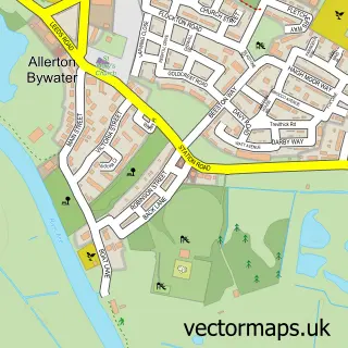
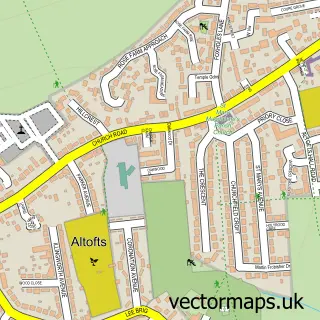
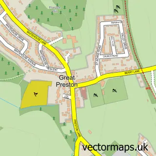
More street maps in West Yorkshire
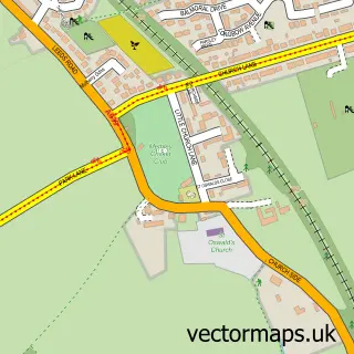
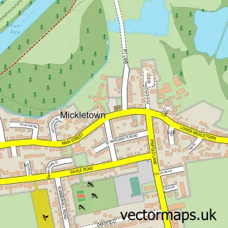
750 metre map area coverage
Boundary, postcode and point of interest information for the 750m x 750m rectangle centred on this sample map.
Boundaries containing map centre
Constituency: Selby Co Const
District: Leeds District (B)
Icb: NHS West Yorkshire ICB
Police Force: west yorkshire
Postcode District: LS26
Postcode Sector: LS26 9
Ward: Kippax & Methley Ward
Nearby boundaries intersecting sample
No additional intersecting boundaries found.
Postcode coverage
POI category counts
Auto Company: 1
Automotive Repair: 1
Business Manufacturing And Supply: 1
Church Cathedral: 1
Cleaning Services: 1
Contractor: 1
Damage Restoration: 1
Dance Club: 1
Electrician: 1
Freight And Cargo Service: 1
Sample points of interest
- Xtrons
- D W Forklift Services
- Ddj Graphic Machinery
- Methley Methodist Church
- Leeds Cleaning Maids
- Rutland Plastering
- Yorkshire Heat Seal Solutions Ltd
- Club Carrington Methley
- JP EV
- J & R Courier Limited
- Key West Pest Control
- Voice Coach UK
Create a larger editable map of Methley Junction
This sample shows only a 750 metre area. To create a larger map of Methley Junction, use our map builder to choose your own coverage area, add titles and download editable SVG, PDF and PNG files.
Create a custom map of Methley Junction