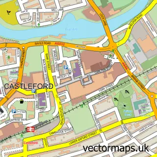
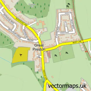
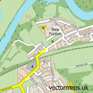
This Allerton Bywater street map is a detailed vector street map covering a 750m x 750m area. Select a larger area to create and download your own vector street map of Allerton Bywater.
The 750-metre map sample for Allerton Bywater covers 309 mapped buildings and approximately 13.6 km of road detail, of which 37 named roads are named. The immediate area includes 7 GP surgeries within 2 miles, 2 pubs and 1 MOT station, with 16 within 2 miles. The wider area around Allerton Bywater features 2 tourism points of interest, 4 food and drink venues and 1 hotel. To create a larger or custom map of Allerton Bywater, the map builder lets you define your own coverage area and download editable SVG, PDF and PNG files.
Create a larger editable map of Allerton Bywater
Choose any area you need and generate a high-quality vector map instantly. Perfect for print, planning, design, business and personal use.

This Allerton Bywater street map in West Yorkshire is available as downloadable SVG, PDF and PNG map files, or as a printed map for planning, business, display, education, local information and design work. You can also create a larger custom map area using the map selector.
What this Allerton Bywater map sample shows
Allerton Bywater lies within Leeds District (B) parish, part of Kippax & Methley ward in the Leeds District (B) local authority area. The postcode geography for this area includes the WF postcode area, the WF10 postcode district and the WF10 2 postcode sector. Residents fall under the Nhs West Yorkshire Integrated Care Board for NHS services.
Local features near Allerton Bywater
Within 2 milesAmenities and services in and around Allerton Bywater.
Administrative and postcode information for Allerton Bywater
Allerton Bywater lies within Leeds District (B) parish, part of Kippax & Methley ward in the Leeds District (B) local authority area. The postcode geography for this area includes the WF postcode area, the WF10 postcode district and the WF10 2 postcode sector. Residents fall under the Nhs West Yorkshire Integrated Care Board for NHS services.
Nearby street map samples around Allerton Bywater

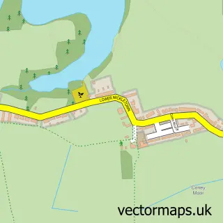
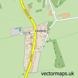
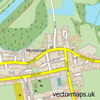
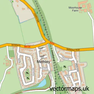
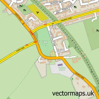
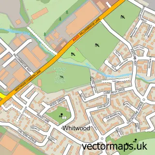
More street maps in West Yorkshire
750 metre map area coverage
Boundary, postcode and point of interest information for the 750m x 750m rectangle centred on this sample map.
Boundaries containing map centre
Constituency: Selby Co Const
District: Leeds District (B)
Icb: NHS West Yorkshire ICB
Parish: Allerton Bywater CP
Police Force: west yorkshire
Postcode District: WF10
Postcode Sector: WF10 2
Ward: Kippax & Methley Ward
Nearby boundaries intersecting sample
Postcode District: LS26
Postcode Sector: LS26 9
Postcode coverage
POI category counts
Electrician: 3
Community Center: 2
Hair Salon: 2
Pub: 2
Accommodation: 1
Active Life: 1
Anglican Church: 1
Automotive Repair: 1
Beauty Salon: 1
Boat Parts And Accessories: 1
Sample points of interest
- Keepmoat - The Potteries
- Booths Fitness
- St Mary the Less, Allerton Bywater
- Layton’s cars and light commercials
- Rosabelle Beauty
- Safeshore Marine galvanic isolators
- Primary Care First
- Samuel Valentine Urban Food Hall
- The Jerk Station/Cafe
- Bechamel Market Kitchen ltd
- St Mary The Less
- Allerton Bywater Youth & Adult Centre
Create a larger editable map of Allerton Bywater
This sample shows only a 750 metre area. To create a larger map of Allerton Bywater, use our map builder to choose your own coverage area, add titles and download editable SVG, PDF and PNG files.
Create a custom map of Allerton Bywater