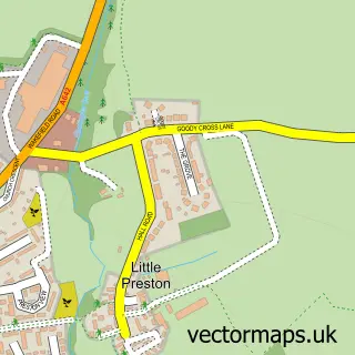
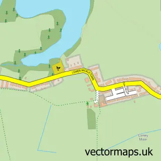
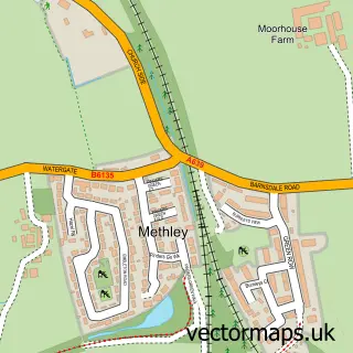
This Great Preston street map is a detailed vector street map covering a 750m x 750m area. Select a larger area to create and download your own vector street map of Great Preston.
The 750-metre map sample for Great Preston covers 260 mapped buildings and approximately 10.1 km of road detail, of which 14 named roads are named. The immediate area includes 4 GP surgeries within 2 miles, 1 pub and 7 MOT stations within 2 miles. The wider area around Great Preston features 1 food and drink venue. To create a larger or custom map of Great Preston, the map builder lets you define your own coverage area and download editable SVG, PDF and PNG files.
Create a larger editable map of Great Preston
Choose any area you need and generate a high-quality vector map instantly. Perfect for print, planning, design, business and personal use.

This Great Preston street map in West Yorkshire is available as downloadable SVG, PDF and PNG map files, or as a printed map for planning, business, display, education, local information and design work. You can also create a larger custom map area using the map selector.
What this Great Preston map sample shows
Great Preston lies within Allerton Bywater Cp parish, part of Kippax & Methley ward in the Leeds District (B) local authority area. The postcode geography for this area includes the LS postcode area, the LS26 postcode district and the LS26 8 postcode sector. Residents fall under the Nhs West Yorkshire Integrated Care Board for NHS services.
Local features near Great Preston
Within 2 milesAmenities and services in and around Great Preston.
Administrative and postcode information for Great Preston
Great Preston lies within Allerton Bywater Cp parish, part of Kippax & Methley ward in the Leeds District (B) local authority area. The postcode geography for this area includes the LS postcode area, the LS26 postcode district and the LS26 8 postcode sector. Residents fall under the Nhs West Yorkshire Integrated Care Board for NHS services.
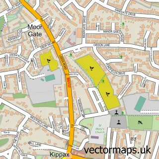
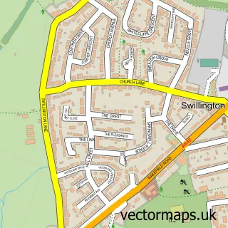
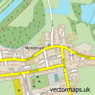
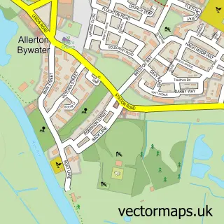
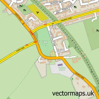
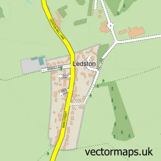
Nearby street map samples around Great Preston

More street maps in West Yorkshire
750 metre map area coverage
Boundary, postcode and point of interest information for the 750m x 750m rectangle centred on this sample map.
Boundaries containing map centre
Constituency: Leeds East Co Const
District: Leeds District (B)
Icb: NHS West Yorkshire ICB
Parish: Great and Little Preston CP
Police Force: west yorkshire
Postcode District: LS26
Postcode Sector: LS26 8
Ward: Garforth & Swillington Ward
Nearby boundaries intersecting sample
Constituency: Selby Co Const
Parish: Allerton Bywater CP, Kippax CP
Postcode District: LS25, WF10
Postcode Sector: LS25 7, WF10 2
Ward: Kippax & Methley Ward
Postcode coverage
POI category counts
Beauty Salon: 1
Business: 1
Community Center: 1
Driving School: 1
Hair Salon: 1
Home Service: 1
Nursery And Gardening: 1
Post Office: 1
Preschool: 1
Pub: 1
Sample points of interest
- Home Sweet Hannah
- Leodis Site Services Ltd
- Great Preston Village Hall
- Neil Carter's Driving School
- Madeleines Beauty Lounge
- Great Preston Childminding
- Woodend Nurseries
- Great Preston Post Office
- Bright Sparks Pre-School
- The New Inn
- Face Perfect Clinic
- Great Preston Snooker and Sports Club
Create a larger editable map of Great Preston
This sample shows only a 750 metre area. To create a larger map of Great Preston, use our map builder to choose your own coverage area, add titles and download editable SVG, PDF and PNG files.
Create a custom map of Great Preston