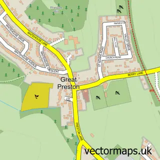
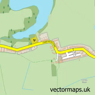
This Little Preston street map is a detailed vector street map covering a 750m x 750m area. Select a larger area to create and download your own vector street map of Little Preston.
The 750-metre map sample for Little Preston covers 179 mapped buildings and approximately 7.9 km of road detail, of which 10 named roads are named. The immediate area includes 5 GP surgeries within 2 miles and 6 MOT stations within 2 miles. The wider area around Little Preston features 1 tourism point of interest. To create a larger or custom map of Little Preston, the map builder lets you define your own coverage area and download editable SVG, PDF and PNG files.
Create a larger editable map of Little Preston
Choose any area you need and generate a high-quality vector map instantly. Perfect for print, planning, design, business and personal use.

This Little Preston street map in West Yorkshire is available as downloadable SVG, PDF and PNG map files, or as a printed map for planning, business, display, education, local information and design work. You can also create a larger custom map area using the map selector.
What this Little Preston map sample shows
Little Preston lies within Swillington Cp parish, part of Garforth & Swillington ward in the Leeds District (B) local authority area. The postcode geography for this area includes the LS postcode area, the LS26 postcode district and the LS26 8 postcode sector. Residents fall under the Nhs West Yorkshire Integrated Care Board for NHS services.
Local features near Little Preston
Within 2 milesAmenities and services in and around Little Preston.
Administrative and postcode information for Little Preston
The local authority covering Little Preston is Leeds District (B), within the county of West Yorkshire. The settlement lies within Garforth & Swillington ward and Swillington Cp civil parish. The LS26 postcode district and LS26 8 postcode sector serve the immediate area. NHS provision in the area is delivered through Leeds Teaching Hospitals Nhs Trust.
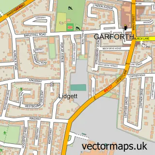
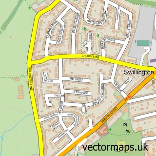
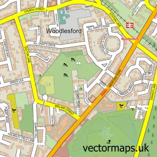
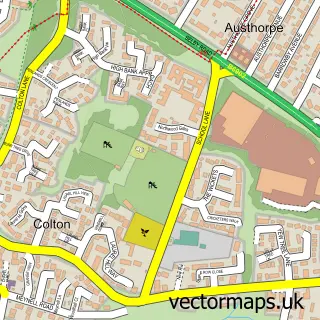
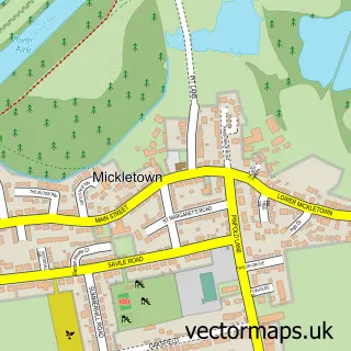
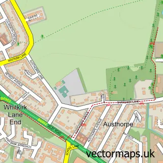
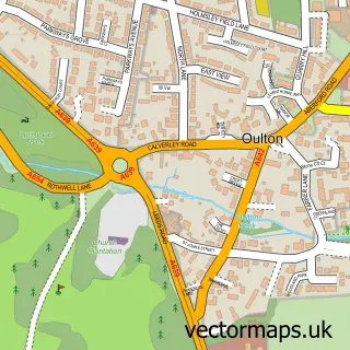
Nearby street map samples around Little Preston

More street maps in West Yorkshire
750 metre map area coverage
Boundary, postcode and point of interest information for the 750m x 750m rectangle centred on this sample map.
Boundaries containing map centre
Constituency: Leeds East Co Const
District: Leeds District (B)
Icb: NHS West Yorkshire ICB
Parish: Great and Little Preston CP
Police Force: west yorkshire
Postcode District: LS26
Postcode Sector: LS26 8
Ward: Garforth & Swillington Ward
Nearby boundaries intersecting sample
Parish: Swillington CP
Postcode coverage
POI category counts
Building Contractor: 1
Business Manufacturing And Supply: 1
Contractor: 1
Financial Service: 1
Key And Locksmith: 1
Landmark And Historical Building: 1
Professional Services: 1
Property Management: 1
Roofing: 1
Telecommunications: 1
Sample points of interest
- Caden's Windows Cleaners
- ROCOL
- Matthew Taylor Tiling Services
- Search Equity Release
- Mr Smith Locksmith Leeds
- Great and Little Preston
- Through the Roof Loft Conversions
- Yorkshire Property Lettings
- SDK Roofing
- RC Aerial & Satellite Services
- Waterforce Property Services
Create a larger editable map of Little Preston
This sample shows only a 750 metre area. To create a larger map of Little Preston, use our map builder to choose your own coverage area, add titles and download editable SVG, PDF and PNG files.
Create a custom map of Little Preston